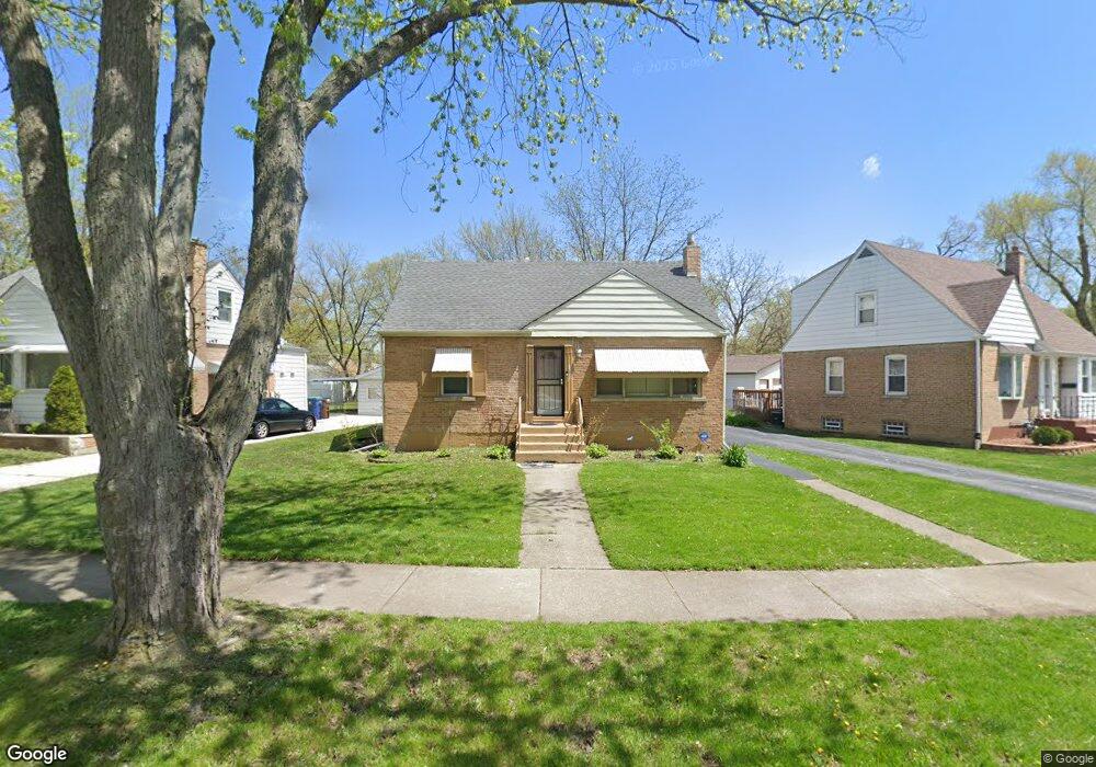
21211 Maple St Matteson, IL 60443
Old Matteson NeighborhoodEstimated Value: $189,000 - $208,395
3
Beds
2
Baths
1,356
Sq Ft
$146/Sq Ft
Est. Value
About This Home
This home is located at 21211 Maple St, Matteson, IL 60443 and is currently estimated at $197,349, approximately $145 per square foot. 21211 Maple St is a home located in Cook County with nearby schools including Illinois School, Matteson Elementary School, and Sauk Elementary School.
Ownership History
Date
Name
Owned For
Owner Type
Purchase Details
Closed on
Nov 5, 2001
Sold by
Gray Candace
Bought by
Howell Shirley
Current Estimated Value
Home Financials for this Owner
Home Financials are based on the most recent Mortgage that was taken out on this home.
Original Mortgage
$52,500
Outstanding Balance
$20,338
Interest Rate
6.6%
Estimated Equity
$177,011
Create a Home Valuation Report for This Property
The Home Valuation Report is an in-depth analysis detailing your home's value as well as a comparison with similar homes in the area
Home Values in the Area
Average Home Value in this Area
Purchase History
| Date | Buyer | Sale Price | Title Company |
|---|---|---|---|
| Howell Shirley | $70,000 | Chicago Title Insurance Co |
Source: Public Records
Mortgage History
| Date | Status | Borrower | Loan Amount |
|---|---|---|---|
| Open | Howell Shirley | $52,500 |
Source: Public Records
Tax History Compared to Growth
Tax History
| Year | Tax Paid | Tax Assessment Tax Assessment Total Assessment is a certain percentage of the fair market value that is determined by local assessors to be the total taxable value of land and additions on the property. | Land | Improvement |
|---|---|---|---|---|
| 2024 | $6,613 | $16,000 | $2,337 | $13,663 |
| 2023 | $4,543 | $16,000 | $2,337 | $13,663 |
| 2022 | $4,543 | $8,375 | $2,045 | $6,330 |
| 2021 | $4,605 | $8,374 | $2,045 | $6,329 |
| 2020 | $4,265 | $8,374 | $2,045 | $6,329 |
| 2019 | $4,815 | $9,304 | $1,898 | $7,406 |
| 2018 | $4,815 | $9,304 | $1,898 | $7,406 |
| 2017 | $2,945 | $9,304 | $1,898 | $7,406 |
| 2016 | $3,174 | $8,953 | $1,752 | $7,201 |
| 2015 | $3,085 | $8,953 | $1,752 | $7,201 |
| 2014 | $3,015 | $8,953 | $1,752 | $7,201 |
| 2013 | $3,550 | $10,855 | $1,752 | $9,103 |
Source: Public Records
Map
Nearby Homes
- 21142 Locust St
- 3718 211th Place
- 3638 213th St
- 3533 212th Place
- 21209 Oak St
- 3711 213th Place
- 3712 214th St
- 3727 214th Place Unit 2
- 549 Homan Ave
- 3704 215th St Unit 205
- 3422 Station Dr
- 519 Chase St
- 410 Gettysburg St
- 3809 215th St
- 305 Jackson St
- 242 Hickory St
- 508 Davis St
- 120 Indiana St
- 21607 Main St
- 3135 Nottingham Ct
- 21217 Maple St
- 21207 Maple St
- 3704 212th Place
- 21201 Maple St
- 21208 Locust St
- 21212 Locust St
- 21155 Maple St
- 21202 Locust St
- 21212 Maple St
- 21216 Maple St
- 21208 Maple St
- 21218 Locust St
- 21220 Maple St
- 21154 Locust St
- 21202 Maple St
- 21153 Maple St
- 3703 212th Place
- 21224 Maple St
- 3709 212th Place
- 21150 Locust St