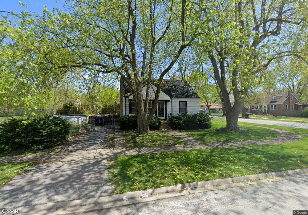
21217 Locust St Matteson, IL 60443
Old Matteson NeighborhoodEstimated Value: $193,470 - $219,000
3
Beds
3
Baths
1,445
Sq Ft
$143/Sq Ft
Est. Value
About This Home
This home is located at 21217 Locust St, Matteson, IL 60443 and is currently estimated at $206,368, approximately $142 per square foot. 21217 Locust St is a home located in Cook County with nearby schools including Illinois School, Matteson Elementary School, and Sauk Elementary School.
Ownership History
Date
Name
Owned For
Owner Type
Purchase Details
Closed on
Apr 30, 1998
Sold by
Parker Jonathan R and Parker Katherine G
Bought by
Lamber Diana I
Current Estimated Value
Home Financials for this Owner
Home Financials are based on the most recent Mortgage that was taken out on this home.
Original Mortgage
$93,405
Outstanding Balance
$16,297
Interest Rate
7.2%
Mortgage Type
FHA
Estimated Equity
$190,071
Purchase Details
Closed on
Jun 17, 1994
Sold by
Beverly Trust Company
Bought by
Parker Jonathan R and Parker Katherine G
Home Financials for this Owner
Home Financials are based on the most recent Mortgage that was taken out on this home.
Original Mortgage
$87,321
Interest Rate
8.78%
Mortgage Type
FHA
Create a Home Valuation Report for This Property
The Home Valuation Report is an in-depth analysis detailing your home's value as well as a comparison with similar homes in the area
Home Values in the Area
Average Home Value in this Area
Purchase History
| Date | Buyer | Sale Price | Title Company |
|---|---|---|---|
| Lamber Diana I | -- | -- | |
| Parker Jonathan R | $88,500 | -- |
Source: Public Records
Mortgage History
| Date | Status | Borrower | Loan Amount |
|---|---|---|---|
| Open | Lamber Diana I | $93,405 | |
| Previous Owner | Parker Jonathan R | $87,321 |
Source: Public Records
Tax History
| Year | Tax Paid | Tax Assessment Tax Assessment Total Assessment is a certain percentage of the fair market value that is determined by local assessors to be the total taxable value of land and additions on the property. | Land | Improvement |
|---|---|---|---|---|
| 2025 | $5,243 | $15,076 | $2,800 | $12,276 |
| 2024 | $5,243 | $15,076 | $2,800 | $12,276 |
| 2023 | $2,382 | $16,000 | $2,800 | $13,200 |
| 2022 | $2,382 | $7,812 | $2,450 | $5,362 |
| 2021 | $2,464 | $7,811 | $2,450 | $5,361 |
| 2020 | $2,398 | $7,811 | $2,450 | $5,361 |
| 2019 | $3,347 | $9,896 | $2,275 | $7,621 |
| 2018 | $3,343 | $9,896 | $2,275 | $7,621 |
| 2017 | $3,239 | $9,896 | $2,275 | $7,621 |
| 2016 | $3,117 | $8,837 | $2,100 | $6,737 |
| 2015 | $3,029 | $8,837 | $2,100 | $6,737 |
| 2014 | $2,960 | $8,837 | $2,100 | $6,737 |
| 2013 | $3,077 | $9,759 | $2,100 | $7,659 |
Source: Public Records
Map
Nearby Homes
- 21142 Locust St
- 3421 Station Dr
- 3727 214th Place Unit 2
- 3704 215th St Unit 105
- 3704 215th St Unit 205
- 3919 214th St
- 120 Indiana St
- 126 Indiana St
- 21406 S Jean Ave
- 3135 Nottingham Ct
- 3133 Nottingham Ct
- 3809 215th St
- 500 Antietam St
- 21617 Dogwood Rd Unit 1125
- 442 Homan Ave
- 21635 Dogwood Rd Unit 1165
- 831 Violet Ln
- 209 Indiana St
- 4052 Charleston Rd
- 3133 Heritage Blvd
- 3614 212th Place
- 21211 Locust St
- 3610 212th Place
- 21218 Locust St
- 21212 Locust St
- 3619 212th Place
- 3615 212th Place
- 21212 Main St
- 21201 Locust St
- 21218 Main St
- 3627 212th Place
- 21208 Locust St
- 21208 Main St
- 3611 212th Place
- 3704 212th Place
- 3631 212th Place
- 21202 Locust St
- 21202 Main St
- 21232 Main St
- 3635 212th Place
Your Personal Tour Guide
Ask me questions while you tour the home.