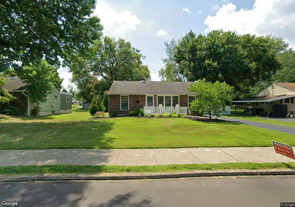
2122 Crawford Dr Norristown, PA 19403
West Norriton Township NeighborhoodEstimated Value: $325,000 - $345,000
2
Beds
1
Bath
936
Sq Ft
$358/Sq Ft
Est. Value
About This Home
This home is located at 2122 Crawford Dr, Norristown, PA 19403 and is currently estimated at $334,710, approximately $357 per square foot. 2122 Crawford Dr is a home located in Montgomery County with nearby schools including Charles Blockson Middle School, Paul V Fly Elementary School, and East Norriton Middle School.
Ownership History
Date
Name
Owned For
Owner Type
Purchase Details
Closed on
Mar 4, 2009
Sold by
Koppenhaver Geraldine M
Bought by
Plunkett Trudy L
Current Estimated Value
Home Financials for this Owner
Home Financials are based on the most recent Mortgage that was taken out on this home.
Original Mortgage
$155,125
Outstanding Balance
$99,264
Interest Rate
5.25%
Estimated Equity
$235,446
Create a Home Valuation Report for This Property
The Home Valuation Report is an in-depth analysis detailing your home's value as well as a comparison with similar homes in the area
Home Values in the Area
Average Home Value in this Area
Purchase History
| Date | Buyer | Sale Price | Title Company |
|---|---|---|---|
| Plunkett Trudy L | $182,500 | None Available |
Source: Public Records
Mortgage History
| Date | Status | Borrower | Loan Amount |
|---|---|---|---|
| Open | Plunkett Trudy L | $155,125 |
Source: Public Records
Tax History Compared to Growth
Tax History
| Year | Tax Paid | Tax Assessment Tax Assessment Total Assessment is a certain percentage of the fair market value that is determined by local assessors to be the total taxable value of land and additions on the property. | Land | Improvement |
|---|---|---|---|---|
| 2025 | $4,678 | $95,760 | $42,410 | $53,350 |
| 2024 | $4,678 | $95,760 | $42,410 | $53,350 |
| 2023 | $4,626 | $95,760 | $42,410 | $53,350 |
| 2022 | $4,596 | $95,760 | $42,410 | $53,350 |
| 2021 | $4,568 | $95,760 | $42,410 | $53,350 |
| 2020 | $4,431 | $95,760 | $42,410 | $53,350 |
| 2019 | $4,332 | $95,760 | $42,410 | $53,350 |
| 2018 | $3,289 | $95,760 | $42,410 | $53,350 |
| 2017 | $4,090 | $95,760 | $42,410 | $53,350 |
| 2016 | $4,053 | $95,760 | $42,410 | $53,350 |
| 2015 | $3,755 | $95,760 | $42,410 | $53,350 |
| 2014 | $3,755 | $95,760 | $42,410 | $53,350 |
Source: Public Records
Map
Nearby Homes
- 32 Miami Rd
- 37 Burnside Ave
- 136 Markley Farm Cir
- 2055 W Marshall St
- 68 Jefferson Ave
- 2020 Davis Dr
- 1905 Davis Dr
- 2020 Sterigere St
- 304 Middleton Place
- 2008 Hemlock Rd
- 709 Middleton Place
- 1749 W Marshall St
- 2044 Mill Rd
- 00 Arden Dr Unit METHACTON SCHOOL
- 1104 Arden Dr Unit METHACTON SCHOOL
- 1613 Countryside Ln
- 24 Wayne Ave
- 2515 Fieldcrest Ave
- 2504 Rockwood Dr
- 108 N Prospect Ave
- 2124 Crawford Dr
- 2120 Crawford Dr
- 33 Miami Rd
- 2118 Crawford Dr
- 2126 Crawford Dr
- 31 Miami Rd
- 2121 Crawford Dr
- 2123 Crawford Dr
- 34 Miami Rd
- 2116 Crawford Dr
- 2119 Crawford Dr
- 2125 Crawford Dr
- 2128 Crawford Dr
- 2117 Crawford Dr
- 29 Miami Rd
- 30 Miami Rd
- 2114 Crawford Dr
- 2115 Crawford Dr
- 42 Galbraith Ave
- 27 Miami Rd