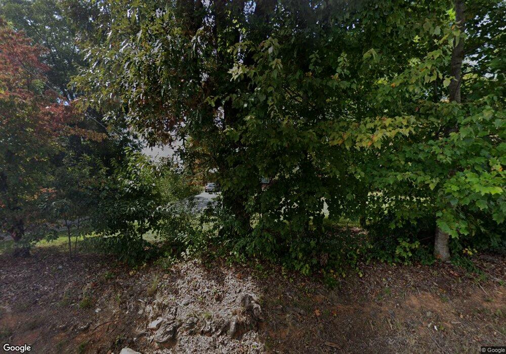
2122 Highway 115 W Cleveland, GA 30528
Estimated Value: $166,000 - $293,000
3
Beds
2
Baths
1,221
Sq Ft
$188/Sq Ft
Est. Value
About This Home
This home is located at 2122 Highway 115 W, Cleveland, GA 30528 and is currently estimated at $229,256, approximately $187 per square foot. 2122 Highway 115 W is a home located in White County with nearby schools including Tesnatee Gap Elementary (Old White County Intermediate), White County 9th Grade Academy, and Jack P. Nix Elementary School.
Ownership History
Date
Name
Owned For
Owner Type
Purchase Details
Closed on
Feb 26, 2021
Sold by
Abernathy Paul Truett
Bought by
Abernathy Doris
Current Estimated Value
Home Financials for this Owner
Home Financials are based on the most recent Mortgage that was taken out on this home.
Original Mortgage
$99,000
Outstanding Balance
$88,545
Interest Rate
2.7%
Mortgage Type
New Conventional
Estimated Equity
$140,711
Purchase Details
Closed on
Jun 30, 2014
Sold by
Abernathy Truett
Bought by
Abernathy Charles Glenn and Abernathy Doris Annette
Create a Home Valuation Report for This Property
The Home Valuation Report is an in-depth analysis detailing your home's value as well as a comparison with similar homes in the area
Home Values in the Area
Average Home Value in this Area
Purchase History
| Date | Buyer | Sale Price | Title Company |
|---|---|---|---|
| Abernathy Doris | $94,167 | -- | |
| Abernathy Charles Glenn | -- | -- | |
| Abernathy Thelma | -- | -- |
Source: Public Records
Mortgage History
| Date | Status | Borrower | Loan Amount |
|---|---|---|---|
| Open | Abernathy Doris | $99,000 |
Source: Public Records
Tax History Compared to Growth
Tax History
| Year | Tax Paid | Tax Assessment Tax Assessment Total Assessment is a certain percentage of the fair market value that is determined by local assessors to be the total taxable value of land and additions on the property. | Land | Improvement |
|---|---|---|---|---|
| 2025 | $1,305 | $69,952 | $30,892 | $39,060 |
| 2024 | $1,305 | $62,628 | $23,568 | $39,060 |
| 2023 | $1,274 | $56,160 | $20,952 | $35,208 |
| 2022 | $1,192 | $50,248 | $19,640 | $30,608 |
| 2021 | $1,090 | $40,656 | $15,384 | $25,272 |
| 2020 | $1,053 | $37,432 | $14,284 | $23,148 |
| 2019 | $1,057 | $37,432 | $14,284 | $23,148 |
| 2018 | $1,057 | $37,432 | $14,284 | $23,148 |
| 2017 | $1,012 | $36,184 | $14,284 | $21,900 |
| 2016 | $1,012 | $36,184 | $14,284 | $21,900 |
| 2015 | $703 | $101,290 | $18,616 | $21,900 |
| 2014 | $666 | $96,030 | $0 | $0 |
Source: Public Records
Map
Nearby Homes
- 349 Turner Ridge Dr
- 332 Turner Ridge Dr
- 12 Lauren Dr
- 25 Long Mountain Trail
- 228 Staton Rd
- 0 Helton Rd Unit 10597557
- 560 Wildwood Acres Rd
- 254 Jeb Dr
- 0 Daybreak Rd Unit 10621287
- 0 Daybreak Rd Unit TR 4 10598729
- 0 Daybreak Rd Unit 10388898
- 187 Helton Rd
- 00 Helton Rd
- 0 Appalachian Pkwy Unit 22327486
- 147 Jess Hunt Rd W
- 1335 Daybreak Rd
- 0 Jess Hunt Rd W
- 1407 Daybreak Rd
- LOT 5 Stacey Dr
- LOT 57 Teel Mtn Dr
- 2040 Highway 115 W
- 2071 Highway 115 W
- 2175 Highway 115 W
- 140 Asbury Mill Rd
- 2006 Highway 115 W
- 181 Asbury Mill Rd
- 216 Asbury Mill Rd
- 2304 Highway 115 W
- 219 Asbury Mill Rd
- 2325 Highway 115 W
- 2325 Highway 115 W
- 2217 Highway 115 W
- 1906 Highway 115 W
- 0 and 2 Redbud Dr
- 1905 Highway 115 W
- 2367 Highway 115 W
- 0 Hwy 115 and Wm Gilreath Unit 7429259
- 163 Turner Ridge Dr
- 97 Turner Ridge Dr
- 51 Turner Ridge Dr
