Estimated Value: $152,000 - $160,000
2
Beds
1
Bath
960
Sq Ft
$162/Sq Ft
Est. Value
About This Home
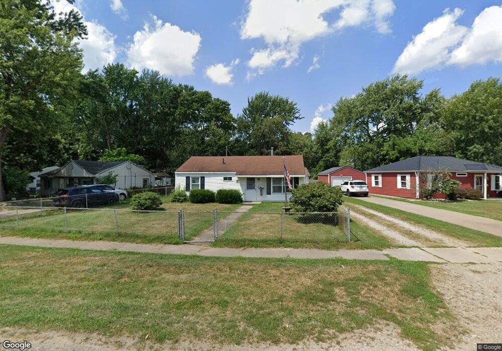
This home is located at 2122 Lewis Dr, Niles, MI 49120 and is currently estimated at $155,679, approximately $162 per square foot. 2122 Lewis Dr is a home located in Berrien County with nearby schools including James Ellis School, Howard-Ellis Elementary School, and Oak Manor Sixth Grade Center.
Ownership History
Date
Name
Owned For
Owner Type
Purchase Details
Closed on
Nov 14, 2023
Sold by
Linteman James Robert and Linteman Brenda Gail
Bought by
Linteman Brenda Gail and Hardin Laurie Ann
Current Estimated Value
Purchase Details
Closed on
Mar 8, 1999
Purchase Details
Closed on
Apr 3, 1991
Purchase Details
Closed on
Mar 19, 1982
Purchase Details
Closed on
Jun 13, 1978
Purchase Details
Closed on
May 12, 1978
Create a Home Valuation Report for This Property
The Home Valuation Report is an in-depth analysis detailing your home's value as well as a comparison with similar homes in the area
Home Values in the Area
Average Home Value in this Area
Purchase History
| Date | Buyer | Sale Price | Title Company |
|---|---|---|---|
| Linteman Brenda Gail | -- | None Listed On Document | |
| Linteman Brenda Gail | -- | None Listed On Document | |
| -- | -- | -- | |
| -- | -- | -- | |
| -- | $19,300 | -- | |
| -- | $18,000 | -- | |
| -- | $14,900 | -- |
Source: Public Records
Tax History Compared to Growth
Tax History
| Year | Tax Paid | Tax Assessment Tax Assessment Total Assessment is a certain percentage of the fair market value that is determined by local assessors to be the total taxable value of land and additions on the property. | Land | Improvement |
|---|---|---|---|---|
| 2025 | $1,169 | $63,800 | $0 | $0 |
| 2024 | $419 | $56,900 | $0 | $0 |
| 2023 | $399 | $50,900 | $0 | $0 |
| 2022 | $380 | $46,900 | $0 | $0 |
| 2021 | $1,385 | $42,700 | $6,000 | $36,700 |
| 2020 | $1,359 | $40,100 | $0 | $0 |
| 2019 | $1,292 | $34,500 | $6,000 | $28,500 |
| 2018 | $1,236 | $34,500 | $0 | $0 |
| 2017 | $1,228 | $32,700 | $0 | $0 |
| 2016 | $1,206 | $31,600 | $0 | $0 |
| 2015 | $1,202 | $32,100 | $0 | $0 |
| 2014 | $332 | $31,000 | $0 | $0 |
Source: Public Records
Map
Nearby Homes
- V/L Kathryn St Unit Tract 3
- 0 Kathryn St Unit Tract 1
- 1638 Superior St
- 1526 Inner Dr
- 1723 Broadway St
- 1522 Cherry St
- 1639 Oak St
- 1710 Cedar St
- 1642 Cedar St
- 21 S 15th St
- 892 Sullivan Rd
- 1408 Silverbrook Ave
- 1407 Hickory St
- 81 E Wildflower
- 2298 Yankee St
- 1352 Marion St
- 1648 Oak St
- 2330 E Main St Unit Lot 2
- 2330 E Main St Unit 62
- 1610 Eagle St