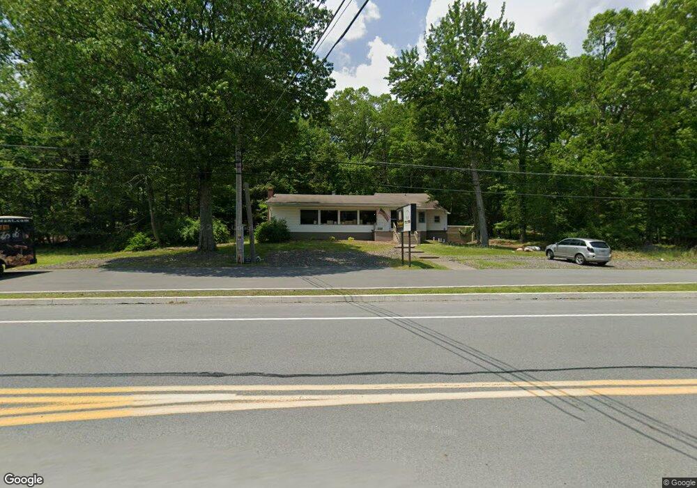
2122 Route 611 Swiftwater, PA 18370
Estimated Value: $445,518
--
Bed
--
Bath
1,827
Sq Ft
$244/Sq Ft
Est. Value
About This Home
This home is located at 2122 Route 611, Swiftwater, PA 18370 and is currently estimated at $445,518, approximately $243 per square foot. 2122 Route 611 is a home located in Monroe County with nearby schools including Swiftwater Interm School, Swiftwater Elementary Center, and Pocono Mountain East Junior High School.
Ownership History
Date
Name
Owned For
Owner Type
Purchase Details
Closed on
Mar 27, 2025
Sold by
Trap Enterprises Llc
Bought by
Trap Enterprises Llc
Current Estimated Value
Purchase Details
Closed on
Jan 14, 2021
Sold by
Epa Real Estate Llc
Bought by
Trapm Enterprises Llc
Purchase Details
Closed on
Jun 18, 2018
Sold by
Lesh Beverly A
Bought by
Trap Enterprises Llc and Epa Real Estate Llc
Purchase Details
Closed on
Aug 2, 1985
Bought by
Lesh Robert W and Lesh Beverly A
Create a Home Valuation Report for This Property
The Home Valuation Report is an in-depth analysis detailing your home's value as well as a comparison with similar homes in the area
Home Values in the Area
Average Home Value in this Area
Purchase History
| Date | Buyer | Sale Price | Title Company |
|---|---|---|---|
| Trap Enterprises Llc | -- | None Listed On Document | |
| Trapm Enterprises Llc | -- | None Available | |
| Trap Enterprises Llc | $220,000 | Veritas Abstract Llc | |
| Lesh Robert W | $102,400 | -- |
Source: Public Records
Tax History Compared to Growth
Tax History
| Year | Tax Paid | Tax Assessment Tax Assessment Total Assessment is a certain percentage of the fair market value that is determined by local assessors to be the total taxable value of land and additions on the property. | Land | Improvement |
|---|---|---|---|---|
| 2025 | $2,089 | $283,020 | $211,000 | $72,020 |
| 2024 | $1,733 | $222,400 | $150,380 | $72,020 |
| 2023 | $6,044 | $222,400 | $150,380 | $72,020 |
| 2022 | $5,722 | $222,400 | $150,380 | $72,020 |
| 2021 | $5,663 | $222,400 | $150,380 | $72,020 |
| 2019 | $7,085 | $40,780 | $28,280 | $12,500 |
| 2018 | $7,085 | $40,780 | $28,280 | $12,500 |
| 2017 | $7,167 | $40,780 | $28,280 | $12,500 |
| 2016 | $1,568 | $40,780 | $28,280 | $12,500 |
| 2015 | -- | $40,780 | $28,280 | $12,500 |
| 2014 | -- | $40,780 | $28,280 | $12,500 |
Source: Public Records
Map
Nearby Homes
- 1 Spring Dr
- 4 Spruce Dr
- 38 Spring Dr 38 Dr
- 39 Spring Dr 39 Dr
- 3 Spruce Dr
- 40 Spring Dr 40 Dr
- 9 Spruce Dr
- 53 Rock Ln
- 52 Rock Ln
- 64 Laurel Loop
- 83 Laurel Loop
- 65 Laurel Loop
- 72 Laurel Loop
- 125 Ponder Ln
- 85 Birch Rd
- 66 Laurel Loop
- 1241 Scotrun Dr
- 166 Applewood Dr
- 0 Resort Drive Lot 4 Unit PM-117736
- 0 Resort Drive Lot 5 Unit PM-117766
- 5111 Wiscasset Dr
- 0 Wiscasset Rd
- 1157 Pennsylvania 611
- 5121 Wiscasset Dr
- 2092 Pennsylvania 611
- 2092 Route 611
- 27 Moss Dr
- 3109 Wiscasset Dr
- 30 Moss Dr
- HC 1, 104 Old Route 611
- 0 Old Route 611
- Hc 1 10 Wiscasset Ave
- 20 Moss Dr
- 5 Shepherd Ln
- 4 Shepherd Ln
- 3 Shepheard Ln
- 19 Moss Dr
- 14 Moss Dr
- 182 Shepherd Ln
- 174 Shepherd Ln