Estimated Value: $272,000 - $471,286
3
Beds
2
Baths
3,200
Sq Ft
$116/Sq Ft
Est. Value
About This Home
This home is located at 21225 E 1050 Rd, Foss, OK 73647 and is currently estimated at $371,643, approximately $116 per square foot. 21225 E 1050 Rd is a home located in Custer County with nearby schools including Will Rogers Elementary School and Burns Flat-Dill City High School.
Ownership History
Date
Name
Owned For
Owner Type
Purchase Details
Closed on
Dec 16, 2020
Sold by
Collins Aaron J and Collins Stella C
Bought by
Brittain Robert Louis
Current Estimated Value
Home Financials for this Owner
Home Financials are based on the most recent Mortgage that was taken out on this home.
Original Mortgage
$527,000
Outstanding Balance
$489,071
Interest Rate
2.7%
Mortgage Type
Construction
Estimated Equity
-$117,428
Purchase Details
Closed on
Oct 6, 2014
Sold by
Allen Kenneth G
Bought by
Collins Aaron James
Create a Home Valuation Report for This Property
The Home Valuation Report is an in-depth analysis detailing your home's value as well as a comparison with similar homes in the area
Home Values in the Area
Average Home Value in this Area
Purchase History
| Date | Buyer | Sale Price | Title Company |
|---|---|---|---|
| Brittain Robert Louis | $527,000 | Smith Title & Closing Llc | |
| Collins Aaron James | $535,000 | -- |
Source: Public Records
Mortgage History
| Date | Status | Borrower | Loan Amount |
|---|---|---|---|
| Open | Brittain Robert Louis | $527,000 |
Source: Public Records
Tax History Compared to Growth
Tax History
| Year | Tax Paid | Tax Assessment Tax Assessment Total Assessment is a certain percentage of the fair market value that is determined by local assessors to be the total taxable value of land and additions on the property. | Land | Improvement |
|---|---|---|---|---|
| 2025 | $2,396 | $29,397 | $3,699 | $25,698 |
| 2024 | $2,324 | $28,540 | $3,699 | $24,841 |
| 2023 | $2,324 | $27,709 | $3,699 | $24,010 |
| 2022 | $2,180 | $26,902 | $3,699 | $23,203 |
| 2021 | $2,201 | $26,902 | $3,699 | $23,203 |
| 2020 | $2,175 | $25,967 | $3,699 | $22,268 |
| 2019 | $2,102 | $25,211 | $3,699 | $21,512 |
| 2018 | $1,965 | $24,345 | $3,699 | $20,646 |
| 2017 | $1,971 | $24,184 | $3,699 | $20,485 |
| 2016 | $2,011 | $24,403 | $3,699 | $20,704 |
| 2015 | -- | $24,070 | $3,699 | $20,371 |
Source: Public Records
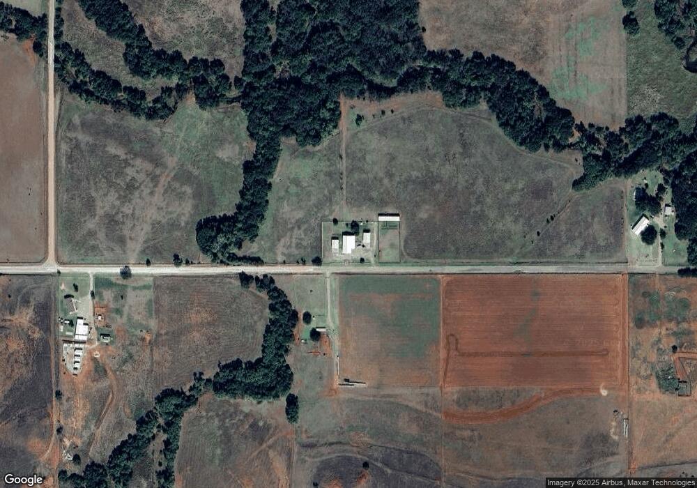
Map
Nearby Homes
- 21238 Highway 73
- 412 Cherokee Trail Unit B
- 107 Cimarron Rd
- 207 Pioneer Way
- 306 Potomac Rd
- 204 Elaine Dr
- 0 I-40 Frontage Road 26 Acres
- 0 I-40 Frontage 37 Acres
- 0 Clinton Lake Road 38 Acres Rd Unit 1194486
- 409 W 5th St
- 114 N Rambo
- 101 Claude St
- 21508 S Frontage Rd
- 409 S McDonald St
- 705 S 6th St
- 11117 N 2073 Rd
- 12004 N 2110 Rd
- 105 E Walk
- 0 E 1220 Rd
- 10579 3151
- 11451 N 2100 Rd
- 21308 E 989 Rd
- 21257 E 1050 Rd
- 21553 Highway 73
- 10245 N 2120 Rd
- 10294 N 2140 Rd
- 21289 E 990 Rd
- 21449 E 1150 Rd
- 10254 N 2120 Rd
- 10633 N 2180 Rd
- 21228 Highway 73
- 21249 E 990 Rd
- 21251 E 990 Rd
- 21293 E 990 Rd
- 10465 N 2120 Rd
- 21257 E 990 Rd
- 21259 E 990 Rd
- 21248 Highway 73
- 21302 E 989 Rd
- 10626 N 2180 Rd