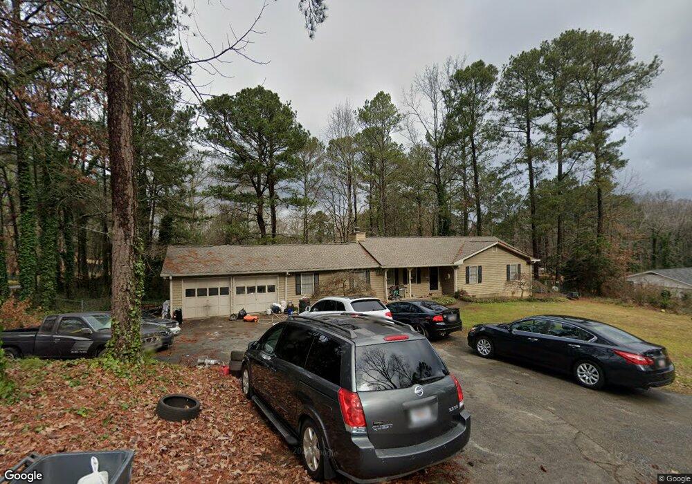
2123 Bird Ln Unit 1 Snellville, GA 30078
Estimated Value: $316,000 - $386,479
3
Beds
2
Baths
1,872
Sq Ft
$193/Sq Ft
Est. Value
About This Home
This home is located at 2123 Bird Ln Unit 1, Snellville, GA 30078 and is currently estimated at $362,120, approximately $193 per square foot. 2123 Bird Ln Unit 1 is a home located in Gwinnett County with nearby schools including Brookwood Elementary School, Alton C. Crews Middle School, and Brookwood High School.
Ownership History
Date
Name
Owned For
Owner Type
Purchase Details
Closed on
Apr 3, 2024
Sold by
Boyd Keith L
Bought by
Boyd Keith L and Boyd Melissa Arlene
Current Estimated Value
Purchase Details
Closed on
Jan 30, 2006
Sold by
Darsey David J
Bought by
Boyd Keith L
Home Financials for this Owner
Home Financials are based on the most recent Mortgage that was taken out on this home.
Original Mortgage
$140,515
Interest Rate
6.19%
Mortgage Type
FHA
Purchase Details
Closed on
Jun 28, 1996
Sold by
Pelletier James L Cheryl A
Bought by
Darsey John David Barbara
Create a Home Valuation Report for This Property
The Home Valuation Report is an in-depth analysis detailing your home's value as well as a comparison with similar homes in the area
Home Values in the Area
Average Home Value in this Area
Purchase History
| Date | Buyer | Sale Price | Title Company |
|---|---|---|---|
| Boyd Keith L | -- | -- | |
| Boyd Keith L | $142,000 | -- | |
| Darsey John David Barbara | $110,900 | -- |
Source: Public Records
Mortgage History
| Date | Status | Borrower | Loan Amount |
|---|---|---|---|
| Previous Owner | Boyd Keith L | $140,515 | |
| Closed | Darsey John David Barbara | $0 |
Source: Public Records
Tax History Compared to Growth
Tax History
| Year | Tax Paid | Tax Assessment Tax Assessment Total Assessment is a certain percentage of the fair market value that is determined by local assessors to be the total taxable value of land and additions on the property. | Land | Improvement |
|---|---|---|---|---|
| 2024 | $3,417 | $143,360 | $22,200 | $121,160 |
| 2023 | $3,417 | $122,160 | $26,000 | $96,160 |
| 2022 | $2,919 | $118,560 | $26,000 | $92,560 |
| 2021 | $2,344 | $87,840 | $18,400 | $69,440 |
| 2020 | $2,812 | $87,840 | $18,400 | $69,440 |
| 2019 | $2,808 | $87,840 | $18,400 | $69,440 |
| 2018 | $2,503 | $75,800 | $16,000 | $59,800 |
| 2016 | $2,088 | $59,960 | $14,400 | $45,560 |
| 2015 | $1,832 | $52,440 | $10,800 | $41,640 |
| 2014 | $1,843 | $52,440 | $10,800 | $41,640 |
Source: Public Records
Map
Nearby Homes
- 2103 Forest Ct
- 2532 Millbrook Dr
- 1609 Tielman Way
- 3381 Thurgood Ct Unit 6
- 3381 Thurgood Ct
- 3378 Chosen Blvd
- 1619 Tielman Way
- 2135 Masonwood Cir SW
- 2031 Hemlock Trail SW
- 2055 Oak Rd
- 2700 Norwich Trace
- 2498 Main St E
- 2845 Long Shadow Ct
- 2141 Slick Stone Dr
- 2028 Harbour Oaks Dr
- 2015 Clipper Straits
- 2729 Lanier Dr
- 2067 Crescent Dr SW
- 2104 Forest Ct Unit 12
- 2104 Forest Ct
- 2132 Bird Ln
- 2123 Forest Ct Unit 1
- 2133 Forest Ct
- 0 Bird Ln Unit A 8121298
- 0 Bird Ln Unit TR C 8121321
- 00 Bird Ln
- 0 Bird Ln Unit 3648083
- 2134 Bird Ln
- 2074 Forest Ct
- 0 Forest Ct Unit 7305208
- 0 Forest Ct Unit 8840697
- 0 Forest Ct Unit 7199401
- 2113 Forest Ct Unit 1
- 2153 Bird Ln
- 2083 Forest Ct
- 2163 Norton Rd
- 2073 Forest Ct
- 2156 Tanglewood Dr