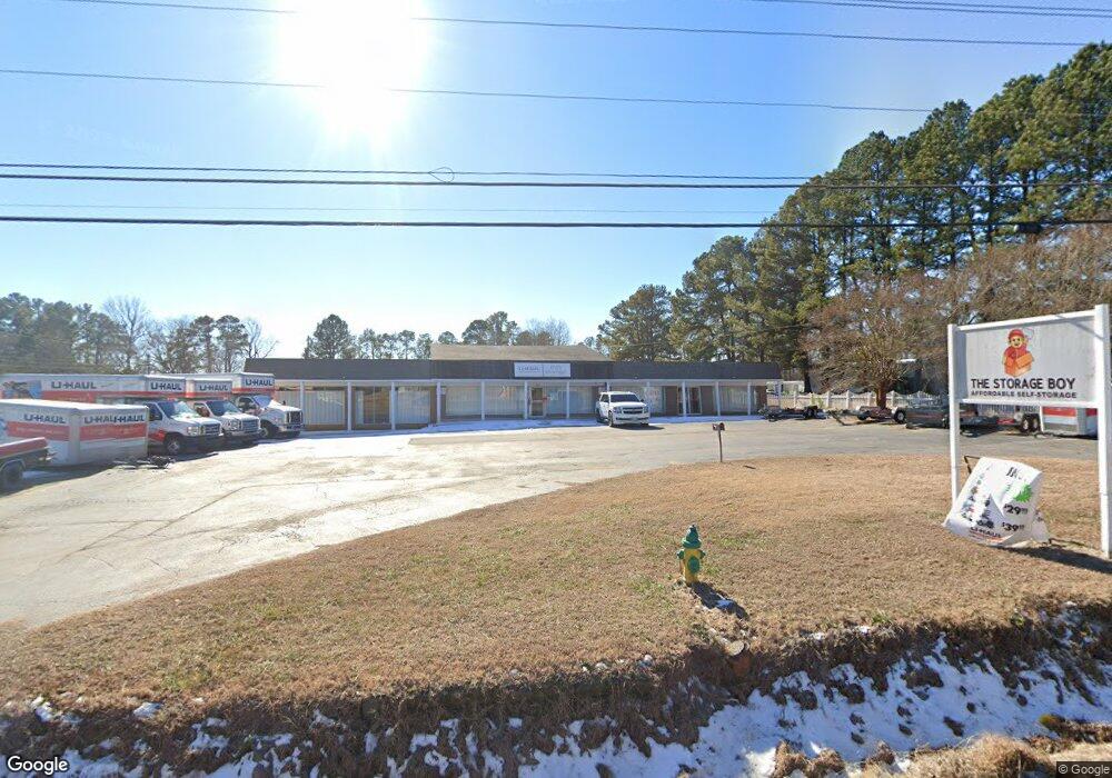
2123 W 10th St Roanoke Rapids, NC 27870
--
Bed
--
Bath
6,367
Sq Ft
1
Acres
About This Home
This home is located at 2123 W 10th St, Roanoke Rapids, NC 27870. 2123 W 10th St is a home located in Halifax County with nearby schools including Roanoke Rapids High School, Victory Christian Academy, and Gingerbread House.
Ownership History
Date
Name
Owned For
Owner Type
Purchase Details
Closed on
Sep 13, 2022
Sold by
Hmj Holdings Llc
Bought by
Delta D Llc
Home Financials for this Owner
Home Financials are based on the most recent Mortgage that was taken out on this home.
Original Mortgage
$180,000
Outstanding Balance
$152,556
Interest Rate
4.26%
Mortgage Type
Seller Take Back
Purchase Details
Closed on
Sep 20, 2019
Sold by
Barnes Robert B and Barnes Danitas W
Bought by
Hmj Holdings Llc
Purchase Details
Closed on
Jan 13, 2005
Sold by
Barnes R B and Barnes Eleanor B
Bought by
Department Of Transportation
Create a Home Valuation Report for This Property
The Home Valuation Report is an in-depth analysis detailing your home's value as well as a comparison with similar homes in the area
Home Values in the Area
Average Home Value in this Area
Purchase History
| Date | Buyer | Sale Price | Title Company |
|---|---|---|---|
| Delta D Llc | $220,000 | -- | |
| Hmj Holdings Llc | $115,000 | -- | |
| Department Of Transportation | $2,000 | None Available |
Source: Public Records
Mortgage History
| Date | Status | Borrower | Loan Amount |
|---|---|---|---|
| Open | Delta D Llc | $180,000 |
Source: Public Records
Tax History Compared to Growth
Tax History
| Year | Tax Paid | Tax Assessment Tax Assessment Total Assessment is a certain percentage of the fair market value that is determined by local assessors to be the total taxable value of land and additions on the property. | Land | Improvement |
|---|---|---|---|---|
| 2025 | $2,227 | $312,000 | $0 | $0 |
| 2024 | $2,227 | $550,400 | $32,500 | $517,900 |
| 2023 | $2,227 | $190,900 | $32,500 | $158,400 |
| 2022 | $2,232 | $190,900 | $32,500 | $158,400 |
| 2021 | $2,178 | $190,900 | $32,500 | $158,400 |
| 2020 | $2,215 | $190,900 | $32,500 | $158,400 |
| 2019 | $2,276 | $192,400 | $25,900 | $166,500 |
| 2018 | $2,274 | $192,400 | $25,900 | $166,500 |
| 2017 | $2,249 | $192,400 | $25,900 | $166,500 |
| 2016 | $2,271 | $192,400 | $25,900 | $166,500 |
| 2015 | $2,132 | $192,400 | $25,900 | $166,500 |
| 2014 | $1,975 | $185,670 | $28,230 | $157,440 |
Source: Public Records
Map
Nearby Homes
- 203 Mobley St
- 201 Azalea Rd
- 234 Mobley St
- 188 Colonial Dr
- 108 Pinewood Rd
- 205 Patriot Dr
- 104 Mina Dr
- 73 Thelma Rd
- Lot 52A Timmy Ln
- 112 Mina Dr
- 117 Blue Water Ct
- 410 Elkins Dr
- 900 Ransome St
- 135 Mina St
- 1118 Mapleton St
- 0 Lake Pointe Dr
- 1511 Dogwood St
- 303 Lake Pointe Dr
- LOT 72 Lake Pointe Dr
- LOT 61 Lake Pointe Dr