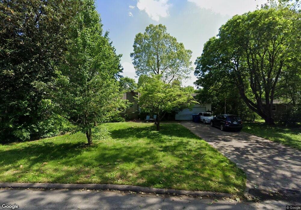
2124 E Langston St Springfield, MO 65804
Brentwood NeighborhoodEstimated Value: $262,545 - $294,000
3
Beds
2
Baths
2,321
Sq Ft
$121/Sq Ft
Est. Value
About This Home
This home is located at 2124 E Langston St, Springfield, MO 65804 and is currently estimated at $281,636, approximately $121 per square foot. 2124 E Langston St is a home located in Greene County with nearby schools including Glendale High School and Discovery Garden Montessori School.
Ownership History
Date
Name
Owned For
Owner Type
Purchase Details
Closed on
Oct 12, 2007
Sold by
Coday Vicki S
Bought by
Ronchetto Catharine M and Ronchetto Bradley
Current Estimated Value
Home Financials for this Owner
Home Financials are based on the most recent Mortgage that was taken out on this home.
Original Mortgage
$140,495
Outstanding Balance
$88,212
Interest Rate
6.32%
Mortgage Type
FHA
Estimated Equity
$193,424
Create a Home Valuation Report for This Property
The Home Valuation Report is an in-depth analysis detailing your home's value as well as a comparison with similar homes in the area
Home Values in the Area
Average Home Value in this Area
Purchase History
| Date | Buyer | Sale Price | Title Company |
|---|---|---|---|
| Ronchetto Catharine M | -- | None Available |
Source: Public Records
Mortgage History
| Date | Status | Borrower | Loan Amount |
|---|---|---|---|
| Open | Ronchetto Catharine M | $140,495 |
Source: Public Records
Tax History
| Year | Tax Paid | Tax Assessment Tax Assessment Total Assessment is a certain percentage of the fair market value that is determined by local assessors to be the total taxable value of land and additions on the property. | Land | Improvement |
|---|---|---|---|---|
| 2025 | $1,556 | $31,240 | $7,390 | $23,850 |
| 2024 | $1,510 | $28,140 | $5,490 | $22,650 |
| 2023 | $1,501 | $28,140 | $5,490 | $22,650 |
| 2022 | $1,419 | $25,990 | $5,490 | $20,500 |
| 2021 | $1,419 | $25,990 | $5,490 | $20,500 |
| 2020 | $1,348 | $23,600 | $5,490 | $18,110 |
| 2019 | $1,310 | $23,600 | $5,490 | $18,110 |
| 2018 | $1,182 | $21,300 | $5,490 | $15,810 |
| 2017 | $1,170 | $19,870 | $5,490 | $14,380 |
| 2016 | $1,089 | $19,870 | $5,490 | $14,380 |
| 2015 | $1,079 | $19,870 | $5,490 | $14,380 |
| 2014 | $1,073 | $19,610 | $5,490 | $14,120 |
Source: Public Records
Map
Nearby Homes
- 1942 S Luster Ave
- 2101 S Glendale Ave
- 2166 S Valleyroad Ave
- 1845 S Link Ave
- 2308 E Latoka St
- 1609 E Cherokee St
- 1623 S Link Ave
- 2435 S Brentwood Blvd
- 1705 E Latoka St
- 1625 E Cherokee St
- 2532 S Brentwood Blvd
- 2541 S Luster Ave
- 1538 E Lindberg St
- 1523 E Lindberg St
- 1702 S Oak Grove Ave
- 1532 E Seminole St
- 1513 E McGee St
- 1911 S Saratoga Ave
- 1500 E Lindberg St
- 4615 S Luster Ave
- 2136 E Langston St
- 2114 E Langston St
- 2121 E Kirkwood St
- 1981 S Luster Ave
- 2117 E Kirkwood St
- 2142 E Langston St
- 2133 E Kirkwood St
- 2104 E Langston St
- 1972 S Link Ave
- 2101 E Kirkwood St
- 1971 S Luster Ave
- 1980 S Luster Ave
- 2154 E Langston St
- 1962 S Link Ave
- 2103 S Luster Ave
- 2102 S Link Ave
- 1955 S Luster Ave
- 2155 E Langston St
- 2017 S Link Ave
- 2003 S Link Ave
Your Personal Tour Guide
Ask me questions while you tour the home.