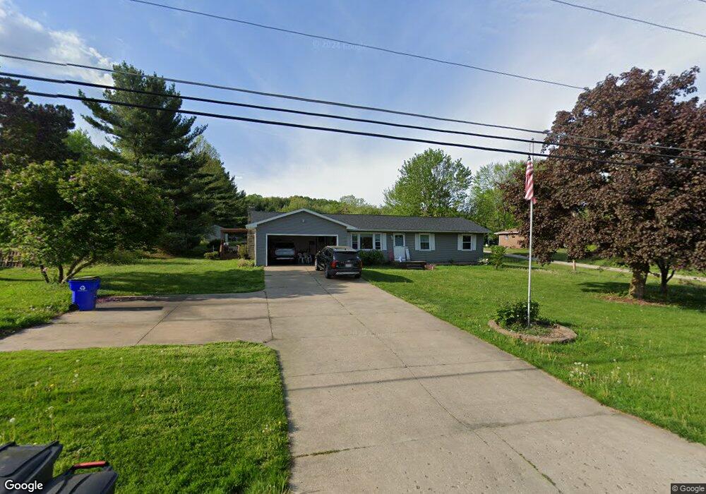
2124 Randolph Rd Mogadore, OH 44260
Estimated Value: $213,000 - $277,000
3
Beds
2
Baths
1,344
Sq Ft
$182/Sq Ft
Est. Value
About This Home
This home is located at 2124 Randolph Rd, Mogadore, OH 44260 and is currently estimated at $244,169, approximately $181 per square foot. 2124 Randolph Rd is a home located in Portage County with nearby schools including Suffield Elementary School, Field Middle School, and Field High School.
Ownership History
Date
Name
Owned For
Owner Type
Purchase Details
Closed on
Jan 10, 2022
Sold by
Hunt and Natalia
Bought by
Hunt John and Hunt Natalia
Current Estimated Value
Home Financials for this Owner
Home Financials are based on the most recent Mortgage that was taken out on this home.
Original Mortgage
$178,400
Outstanding Balance
$140,390
Interest Rate
3.11%
Mortgage Type
New Conventional
Estimated Equity
$103,779
Purchase Details
Closed on
Jan 15, 2019
Sold by
Hunt William R and Hunt Brenda L
Bought by
Hunt John
Home Financials for this Owner
Home Financials are based on the most recent Mortgage that was taken out on this home.
Original Mortgage
$162,240
Interest Rate
4.87%
Mortgage Type
FHA
Purchase Details
Closed on
Jan 28, 2004
Sold by
Hunt William R
Bought by
Hunt Ii William R and Hunt Brenda L
Purchase Details
Closed on
Jan 1, 1990
Bought by
Hunt Ii William R
Create a Home Valuation Report for This Property
The Home Valuation Report is an in-depth analysis detailing your home's value as well as a comparison with similar homes in the area
Purchase History
| Date | Buyer | Sale Price | Title Company |
|---|---|---|---|
| Hunt John | -- | Richardson Ira A | |
| Hunt John | $175,000 | None Available | |
| Hunt Ii William R | -- | Approved Statewide Title Age | |
| Hunt Ii William R | -- | -- |
Source: Public Records
Mortgage History
| Date | Status | Borrower | Loan Amount |
|---|---|---|---|
| Open | Hunt John | $178,400 | |
| Previous Owner | Hunt John | $162,240 |
Source: Public Records
Tax History
| Year | Tax Paid | Tax Assessment Tax Assessment Total Assessment is a certain percentage of the fair market value that is determined by local assessors to be the total taxable value of land and additions on the property. | Land | Improvement |
|---|---|---|---|---|
| 2024 | $2,992 | $74,940 | $12,670 | $62,270 |
| 2023 | $2,607 | $53,170 | $9,800 | $43,370 |
| 2022 | $2,608 | $53,170 | $9,800 | $43,370 |
| 2021 | $2,595 | $53,170 | $9,800 | $43,370 |
| 2020 | $2,450 | $45,640 | $9,800 | $35,840 |
| 2019 | $2,459 | $45,640 | $9,800 | $35,840 |
| 2018 | $1,828 | $40,680 | $10,750 | $29,930 |
| 2017 | $1,828 | $40,680 | $10,750 | $29,930 |
| 2016 | $1,812 | $40,680 | $10,750 | $29,930 |
| 2015 | $1,813 | $40,680 | $10,750 | $29,930 |
| 2014 | $1,764 | $40,680 | $10,750 | $29,930 |
| 2013 | $1,749 | $40,680 | $10,750 | $29,930 |
Source: Public Records
Map
Nearby Homes
- 1811 Randolph Rd
- 1707 Congress Lake Rd
- 1556 Saxe Rd
- 1791 Winterhaven Dr
- 0 Randolph Rd Unit 5189131
- 1298 Aberagg Rd
- 3080 Saxe Rd
- 1078 Aberagg Rd
- 3079 Alexander Rd
- 3483 Lawndale Dr
- 3517 Jameson Dr
- 3532 Gary Dr
- S/L 11 959 Sunrise Dr
- S/L 38 1150 Lakeview Dr
- 3793 Ranfield Rd
- VL 863 State Route 43
- 3637 Old Forge Rd
- 3910 Willow Way
- 1026 Hartville Rd N
- 3021 Hartville Rd
- 2136 Randolph Rd
- 2108 Randolph Rd
- 2150 Randolph Rd
- 2101 Randolph Rd
- 2081 Randolph Rd
- 2080 Randolph Rd
- 2176 Randolph Rd
- 2073 Randolph Rd
- 2058 Randolph Rd
- 2053 Randolph Rd
- 2042 Randolph Rd
- 2174 May Rd
- 2223 Randolph Rd
- 2238 Randolph Rd
- 2150 May Rd
- 2103 Randolph Rd
- 2029 Randolph Rd
- 2248 Randolph Rd
- 2251 Randolph Rd
- 2189 Palm Rd
Your Personal Tour Guide
Ask me questions while you tour the home.