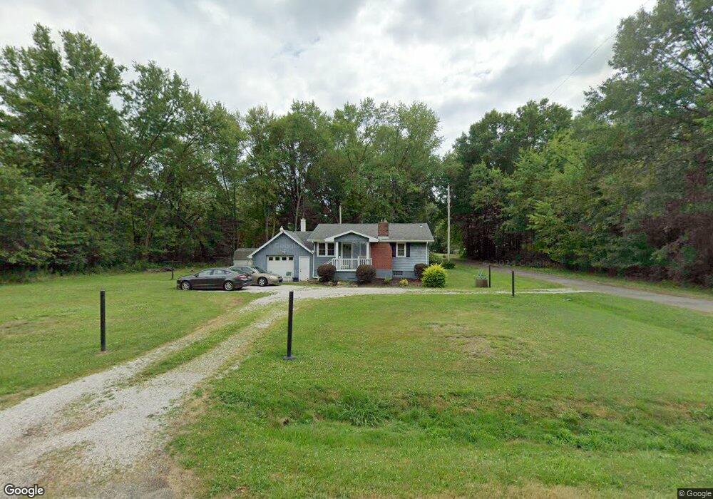
21243 Oak St Alliance, OH 44601
Estimated Value: $76,863 - $120,000
2
Beds
1
Bath
780
Sq Ft
$131/Sq Ft
Est. Value
About This Home
This home is located at 21243 Oak St, Alliance, OH 44601 and is currently estimated at $102,216, approximately $131 per square foot. 21243 Oak St is a home located in Mahoning County with nearby schools including West Branch Middle School, West Branch Early Learning Center, and West Branch High School.
Ownership History
Date
Name
Owned For
Owner Type
Purchase Details
Closed on
Mar 27, 2017
Sold by
Hooper Marcia
Bought by
Hooper Justin M
Current Estimated Value
Purchase Details
Closed on
Nov 12, 1998
Sold by
Call Richard A and Call Linda K
Bought by
Hooper Richard L and Hooper Marcia J
Home Financials for this Owner
Home Financials are based on the most recent Mortgage that was taken out on this home.
Original Mortgage
$64,950
Outstanding Balance
$14,289
Interest Rate
6.68%
Estimated Equity
$87,927
Purchase Details
Closed on
May 3, 1991
Bought by
Call Richard A and Call Linda K
Create a Home Valuation Report for This Property
The Home Valuation Report is an in-depth analysis detailing your home's value as well as a comparison with similar homes in the area
Home Values in the Area
Average Home Value in this Area
Purchase History
| Date | Buyer | Sale Price | Title Company |
|---|---|---|---|
| Hooper Justin M | -- | None Available | |
| Hooper Richard L | $65,000 | -- | |
| Call Richard A | -- | -- |
Source: Public Records
Mortgage History
| Date | Status | Borrower | Loan Amount |
|---|---|---|---|
| Open | Hooper Richard L | $64,950 |
Source: Public Records
Tax History Compared to Growth
Tax History
| Year | Tax Paid | Tax Assessment Tax Assessment Total Assessment is a certain percentage of the fair market value that is determined by local assessors to be the total taxable value of land and additions on the property. | Land | Improvement |
|---|---|---|---|---|
| 2024 | $269 | $17,180 | $1,280 | $15,900 |
| 2023 | $287 | $17,180 | $1,280 | $15,900 |
| 2022 | $3 | $8,280 | $980 | $7,300 |
| 2021 | $3 | $8,280 | $980 | $7,300 |
| 2020 | $3 | $8,280 | $980 | $7,300 |
| 2019 | $6 | $7,120 | $980 | $6,140 |
| 2018 | $6 | $7,120 | $980 | $6,140 |
| 2017 | $3 | $7,120 | $980 | $6,140 |
| 2016 | $39 | $9,630 | $980 | $8,650 |
| 2015 | $38 | $9,630 | $980 | $8,650 |
| 2014 | $38 | $9,630 | $980 | $8,650 |
| 2013 | $38 | $9,630 | $980 | $8,650 |
Source: Public Records
Map
Nearby Homes
- 1235 Elm St
- 670 W Maryland Ave
- 625 W Maryland Ave
- 495 W Texas Ave
- 11511 N Johnson Rd
- 472 W New York Ave
- 24893 Us-62
- 22841 Lake Park Blvd
- 0 W Maryland Ave
- 406 W Indiana Ave
- 145 N 17th St
- 325 W Maryland Ave
- 286 W Maryland Ave
- 104 W Carolina Ave
- 240 S 15th St
- 1233 Woodland Ave
- 831 Wade Ave
- 0 16th St Unit 5159092
- 125 E Indiana Ave
- 216 E Carolina Ave
- 21222 Lake Park Blvd
- 21212 Oak St
- 21274 Lake Park Blvd
- 21215 Lake Park Blvd
- 21225 Lake Park Blvd
- 21168 Lake Park Blvd
- 21288 Lake Park Blvd
- 21245 Lake Park Blvd
- 21189 Lake Park Blvd
- 21261 Lake Park Blvd
- 21173 Lake Park Blvd
- 21288 Oak St
- 21236 Lake Park Blvd
- 21164 Lake Park Blvd
- 21258 Alden Ave
- 22561 Alden Ave
- 21277 Lake Park Blvd
- 21143 Lake Park Blvd
- 21323 Oak St
- 21293 Lake Park Blvd