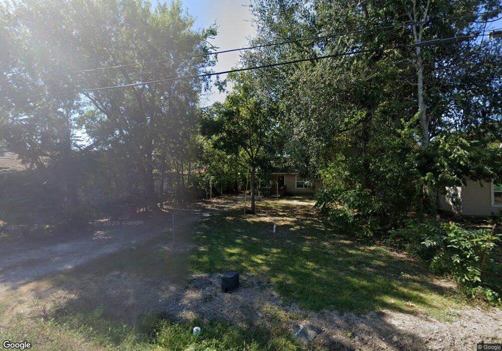
2125 10th Ave Port Arthur, TX 77642
Estimated Value: $75,000 - $121,000
--
Bed
--
Bath
844
Sq Ft
$114/Sq Ft
Est. Value
About This Home
This home is located at 2125 10th Ave, Port Arthur, TX 77642 and is currently estimated at $96,602, approximately $114 per square foot. 2125 10th Ave is a home located in Jefferson County with nearby schools including Tyrrell Elementary School, Jefferson Middle School, and Memorial High School.
Ownership History
Date
Name
Owned For
Owner Type
Purchase Details
Closed on
Jul 15, 2025
Sold by
Allen Margie
Bought by
Carrington Mortgage Services Llc
Current Estimated Value
Purchase Details
Closed on
Jun 22, 2016
Sold by
Fox Eva Lorraine and Lapoint Helene Joycelyn
Bought by
Breaux Melvin and Breaux Amy
Home Financials for this Owner
Home Financials are based on the most recent Mortgage that was taken out on this home.
Original Mortgage
$73,500
Interest Rate
3.99%
Mortgage Type
Reverse Mortgage Home Equity Conversion Mortgage
Create a Home Valuation Report for This Property
The Home Valuation Report is an in-depth analysis detailing your home's value as well as a comparison with similar homes in the area
Home Values in the Area
Average Home Value in this Area
Purchase History
| Date | Buyer | Sale Price | Title Company |
|---|---|---|---|
| Carrington Mortgage Services Llc | $75,267 | None Listed On Document | |
| Breaux Melvin | -- | Timios Title |
Source: Public Records
Mortgage History
| Date | Status | Borrower | Loan Amount |
|---|---|---|---|
| Previous Owner | Breaux Melvin | $73,500 |
Source: Public Records
Tax History Compared to Growth
Tax History
| Year | Tax Paid | Tax Assessment Tax Assessment Total Assessment is a certain percentage of the fair market value that is determined by local assessors to be the total taxable value of land and additions on the property. | Land | Improvement |
|---|---|---|---|---|
| 2025 | $92 | $77,405 | -- | -- |
| 2024 | $92 | $70,368 | -- | -- |
| 2023 | $92 | $63,971 | $0 | $0 |
| 2022 | $1,847 | $58,155 | $0 | $0 |
| 2021 | $1,752 | $63,283 | $1,960 | $61,323 |
| 2020 | $0 | $48,062 | $1,960 | $46,102 |
| 2019 | $1,450 | $45,510 | $1,960 | $43,550 |
| 2018 | $0 | $42,940 | $1,960 | $40,980 |
| 2017 | $0 | $42,940 | $1,960 | $40,980 |
| 2016 | $1,258 | $42,940 | $1,960 | $40,980 |
| 2015 | -- | $45,220 | $1,960 | $43,260 |
| 2014 | -- | $45,220 | $1,960 | $43,260 |
Source: Public Records
Map
Nearby Homes
- 2325 Oaklawn Ave
- 2301 Glenwood Dr
- 2323 7th Ave
- 4100 Dryden Rd
- 2515 Glenwood Dr
- LOT 55 Royal Meadows Estate
- 2129 Neches Ave
- 2621 Evergreen Dr
- 3945 12th St
- 3137 18th St
- 3132 18th St
- 3812 30th St
- 3208 29th St
- 3118 14th St
- 3500 32nd St
- 4034 32nd St
- 4501 Springdale St
- 3123 13th St
- 3326 Thomas Blvd
- 3015 25th St
- 2121 10th Ave
- 2135 10th Ave
- 2115 10th Ave
- 2113 10th Ave
- 2126 10th Ave
- 2124 10th Ave
- 2105 10th Ave
- 2136 10th Ave
- 2146 Evergreen Dr
- 2116 10th Ave
- 2130 Evergreen Dr
- 2120 Evergreen Dr
- 2200 Oaklawn Ave
- 2049 10th Ave
- 2104 10th Ave
- 2100 Evergreen Dr
- 2230 Oaklawn Ave
- 2047 10th Ave
- 2100 10th Ave
- 2240 Oaklawn Ave