2125 H Rd West Point, NE 68788
Estimated Value: $436,000 - $723,160
1
Bed
4
Baths
2,190
Sq Ft
$265/Sq Ft
Est. Value
About This Home
This home is located at 2125 H Rd, West Point, NE 68788 and is currently estimated at $579,580, approximately $264 per square foot. 2125 H Rd is a home located in Cuming County with nearby schools including West Point-Beemer Junior/Senior High School.
Ownership History
Date
Name
Owned For
Owner Type
Purchase Details
Closed on
Dec 7, 2019
Sold by
Wendt Cynthia G
Bought by
Klitz Nathan A
Current Estimated Value
Home Financials for this Owner
Home Financials are based on the most recent Mortgage that was taken out on this home.
Original Mortgage
$126,000
Outstanding Balance
$115,667
Interest Rate
3.12%
Mortgage Type
USDA
Estimated Equity
$463,913
Create a Home Valuation Report for This Property
The Home Valuation Report is an in-depth analysis detailing your home's value as well as a comparison with similar homes in the area
Home Values in the Area
Average Home Value in this Area
Purchase History
| Date | Buyer | Sale Price | Title Company |
|---|---|---|---|
| Klitz Nathan A | $130,500 | None Available |
Source: Public Records
Mortgage History
| Date | Status | Borrower | Loan Amount |
|---|---|---|---|
| Open | Klitz Nathan A | $126,000 |
Source: Public Records
Tax History Compared to Growth
Tax History
| Year | Tax Paid | Tax Assessment Tax Assessment Total Assessment is a certain percentage of the fair market value that is determined by local assessors to be the total taxable value of land and additions on the property. | Land | Improvement |
|---|---|---|---|---|
| 2025 | $3,467 | $684,715 | $119,670 | $565,045 |
| 2024 | $3,467 | $573,420 | $109,645 | $463,775 |
| 2023 | $4,996 | $553,540 | $99,630 | $453,910 |
| 2022 | $4,828 | $488,560 | $85,410 | $403,150 |
| 2021 | $4,195 | $420,075 | $83,500 | $336,575 |
| 2020 | $3,820 | $388,140 | $91,780 | $296,360 |
| 2019 | $3,564 | $355,265 | $91,780 | $263,485 |
| 2018 | $3,580 | $361,560 | $94,155 | $267,405 |
| 2017 | $3,114 | $303,380 | $84,055 | $219,325 |
| 2016 | $3,056 | $285,330 | $80,215 | $205,115 |
| 2015 | $3,256 | $278,530 | $73,415 | $205,115 |
| 2014 | $2,819 | $241,760 | $63,705 | $178,055 |
| 2013 | $2,819 | $219,995 | $45,105 | $174,890 |
Source: Public Records
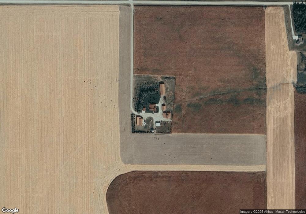
Map
Nearby Homes
- 2235 K Rd
- 2416 F Rd
- 1045 E Grove St
- 126 E Grove St
- 1225 Co Road 1
- 749 E Grove St
- 420 S Farragut St
- 1402 E Bridge St
- 626 S Monitor St
- 519 S Niphon St
- 208 N Lincoln St
- 205 E Sheridan St
- 101 S Main St
- 1207 N Main St
- 301 W Pine St
- 402 W Pine St
- TBD Oakland
- 328 N Oakland Ave
- 206 N Thomas Ave
- 108 N Thomas Ave