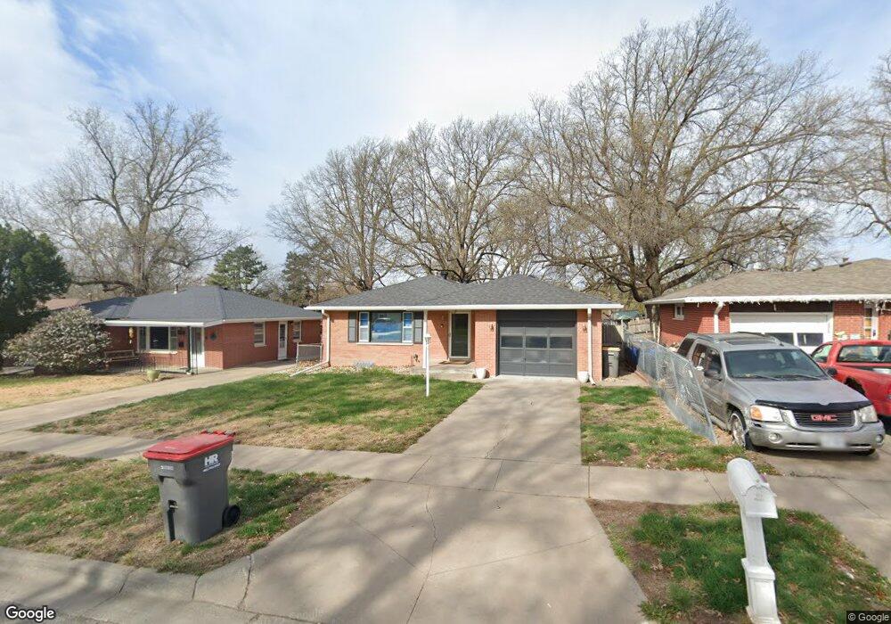
2125 S 61st St Lincoln, NE 68506
Central Lincoln NeighborhoodEstimated Value: $274,000 - $292,000
3
Beds
2
Baths
1,842
Sq Ft
$153/Sq Ft
Est. Value
About This Home
This home is located at 2125 S 61st St, Lincoln, NE 68506 and is currently estimated at $282,101, approximately $153 per square foot. 2125 S 61st St is a home located in Lancaster County with nearby schools including Morley Elementary School, Lux Middle School, and Lincoln East High School.
Ownership History
Date
Name
Owned For
Owner Type
Purchase Details
Closed on
Nov 12, 2009
Sold by
Boucher Blaine M and Boucher Jenith A
Bought by
Doyle Robin M
Current Estimated Value
Home Financials for this Owner
Home Financials are based on the most recent Mortgage that was taken out on this home.
Original Mortgage
$129,609
Outstanding Balance
$83,852
Interest Rate
4.9%
Mortgage Type
FHA
Estimated Equity
$198,249
Purchase Details
Closed on
Mar 25, 2003
Sold by
Siegel Ellin
Bought by
Boucher Blaine M and Boucher Jenith A
Home Financials for this Owner
Home Financials are based on the most recent Mortgage that was taken out on this home.
Original Mortgage
$108,000
Interest Rate
5.83%
Purchase Details
Closed on
Jul 19, 1999
Sold by
Sibley Barbara A and Maul Anna Marie
Bought by
Siegel Ellin
Create a Home Valuation Report for This Property
The Home Valuation Report is an in-depth analysis detailing your home's value as well as a comparison with similar homes in the area
Home Values in the Area
Average Home Value in this Area
Purchase History
| Date | Buyer | Sale Price | Title Company |
|---|---|---|---|
| Doyle Robin M | $132,000 | Ct | |
| Boucher Blaine M | $120,000 | -- | |
| Siegel Ellin | $112,000 | -- |
Source: Public Records
Mortgage History
| Date | Status | Borrower | Loan Amount |
|---|---|---|---|
| Open | Doyle Robin M | $129,609 | |
| Previous Owner | Boucher Blaine M | $108,000 |
Source: Public Records
Tax History Compared to Growth
Tax History
| Year | Tax Paid | Tax Assessment Tax Assessment Total Assessment is a certain percentage of the fair market value that is determined by local assessors to be the total taxable value of land and additions on the property. | Land | Improvement |
|---|---|---|---|---|
| 2025 | $3,493 | $260,200 | $60,000 | $200,200 |
| 2024 | $3,493 | $249,800 | $50,000 | $199,800 |
| 2023 | $3,927 | $234,300 | $50,000 | $184,300 |
| 2022 | $3,759 | $188,600 | $40,000 | $148,600 |
| 2021 | $3,556 | $188,600 | $40,000 | $148,600 |
| 2020 | $3,355 | $175,600 | $40,000 | $135,600 |
| 2019 | $3,356 | $175,600 | $40,000 | $135,600 |
| 2018 | $2,852 | $148,600 | $40,000 | $108,600 |
| 2017 | $2,879 | $148,600 | $40,000 | $108,600 |
| 2016 | $2,705 | $138,900 | $35,000 | $103,900 |
| 2015 | $2,686 | $138,900 | $35,000 | $103,900 |
| 2014 | $2,544 | $130,800 | $35,000 | $95,800 |
| 2013 | -- | $130,800 | $35,000 | $95,800 |
Source: Public Records
Map
Nearby Homes
- 6301 Newton St
- 1920 Riviera Dr
- 2001 Morningside Dr
- 1731 E Manor Dr
- 6545 Flint Ridge Place
- 6220 Sumner St
- 5530 Normal Blvd
- 1850 E Bermuda Dr
- 1830 E Bermuda Dr
- 1610 Circle Dr
- 5505 Sumner St
- 6123 A St
- 2836 Ponca St
- 1401 S 58th St
- 2533 S 55th St
- 5300 Franklin St
- 6341 Rainier Dr
- 1521 Kingston Rd
- 7101 South St Unit 1
- 1900 Lori Ln