2125 Troon Rd Houston, TX 77019
River Oaks NeighborhoodEstimated Value: $2,608,620 - $3,271,000
3
Beds
5
Baths
5,209
Sq Ft
$565/Sq Ft
Est. Value
About This Home
This home is located at 2125 Troon Rd, Houston, TX 77019 and is currently estimated at $2,942,207, approximately $564 per square foot. 2125 Troon Rd is a home located in Harris County with nearby schools including River Oaks Elementary School, Lanier Middle School, and Lamar High School.
Ownership History
Date
Name
Owned For
Owner Type
Purchase Details
Closed on
Jul 29, 2020
Sold by
Criner Sanford W and Criner Susan
Bought by
Andell John and Andell Stacy
Current Estimated Value
Home Financials for this Owner
Home Financials are based on the most recent Mortgage that was taken out on this home.
Original Mortgage
$1,984,000
Interest Rate
2.75%
Mortgage Type
New Conventional
Purchase Details
Closed on
Mar 23, 2007
Sold by
Rafferty Carol Ann Green
Bought by
Criner Sanford W and Criner Susan
Home Financials for this Owner
Home Financials are based on the most recent Mortgage that was taken out on this home.
Original Mortgage
$800,000
Interest Rate
6.62%
Mortgage Type
Purchase Money Mortgage
Create a Home Valuation Report for This Property
The Home Valuation Report is an in-depth analysis detailing your home's value as well as a comparison with similar homes in the area
Home Values in the Area
Average Home Value in this Area
Purchase History
| Date | Buyer | Sale Price | Title Company |
|---|---|---|---|
| Andell John | -- | Fidelity National Title | |
| Andell John | -- | Fidelity National Title | |
| Criner Sanford W | -- | First American Title |
Source: Public Records
Mortgage History
| Date | Status | Borrower | Loan Amount |
|---|---|---|---|
| Previous Owner | Andell John | $1,984,000 | |
| Previous Owner | Criner Sanford W | $800,000 | |
| Closed | Andell John | $0 |
Source: Public Records
Tax History Compared to Growth
Tax History
| Year | Tax Paid | Tax Assessment Tax Assessment Total Assessment is a certain percentage of the fair market value that is determined by local assessors to be the total taxable value of land and additions on the property. | Land | Improvement |
|---|---|---|---|---|
| 2025 | $42,580 | $3,157,672 | $1,579,915 | $1,577,757 |
| 2024 | $42,580 | $2,591,166 | $1,477,985 | $1,113,181 |
| 2023 | $42,580 | $3,010,082 | $1,427,020 | $1,583,062 |
| 2022 | $56,326 | $2,570,000 | $1,325,090 | $1,244,910 |
| 2021 | $54,200 | $2,325,520 | $1,274,125 | $1,051,395 |
| 2020 | $56,537 | $2,334,732 | $1,274,125 | $1,060,607 |
| 2019 | $59,693 | $2,358,994 | $1,274,125 | $1,084,869 |
| 2018 | $38,026 | $2,388,979 | $1,325,090 | $1,063,889 |
| 2017 | $58,438 | $2,388,979 | $1,325,090 | $1,063,889 |
| 2016 | $53,126 | $2,349,705 | $1,274,125 | $1,075,580 |
| 2015 | $32,338 | $2,247,744 | $1,160,473 | $1,087,271 |
| 2014 | $32,338 | $2,192,031 | $1,054,976 | $1,137,055 |
Source: Public Records
Map
Nearby Homes
- 902 S Shepherd Dr
- 2117 Chilton Rd
- 2116 Looscan Ln
- 1005 S Shepherd Dr Unit 406
- 1025 S Shepherd Dr Unit 209
- 1216 S Shepherd Dr
- 20 Tiel Way
- 1201 Mcduffie St Unit 133
- 1201 Mcduffie St Unit 198
- 1201 Mcduffie St Unit 122
- 2247 Chilton Rd
- 2131 Brentwood Dr
- 1937 W Clay St
- 1935 W Clay St
- 1918 Greenwich Terrace Dr
- 1908 Greenwich Place Dr
- 1509 Mcduffie St
- 1601 S Shepherd Dr Unit 29
- 1601 S Shepherd Dr Unit 20
- 2105 Del Monte Dr
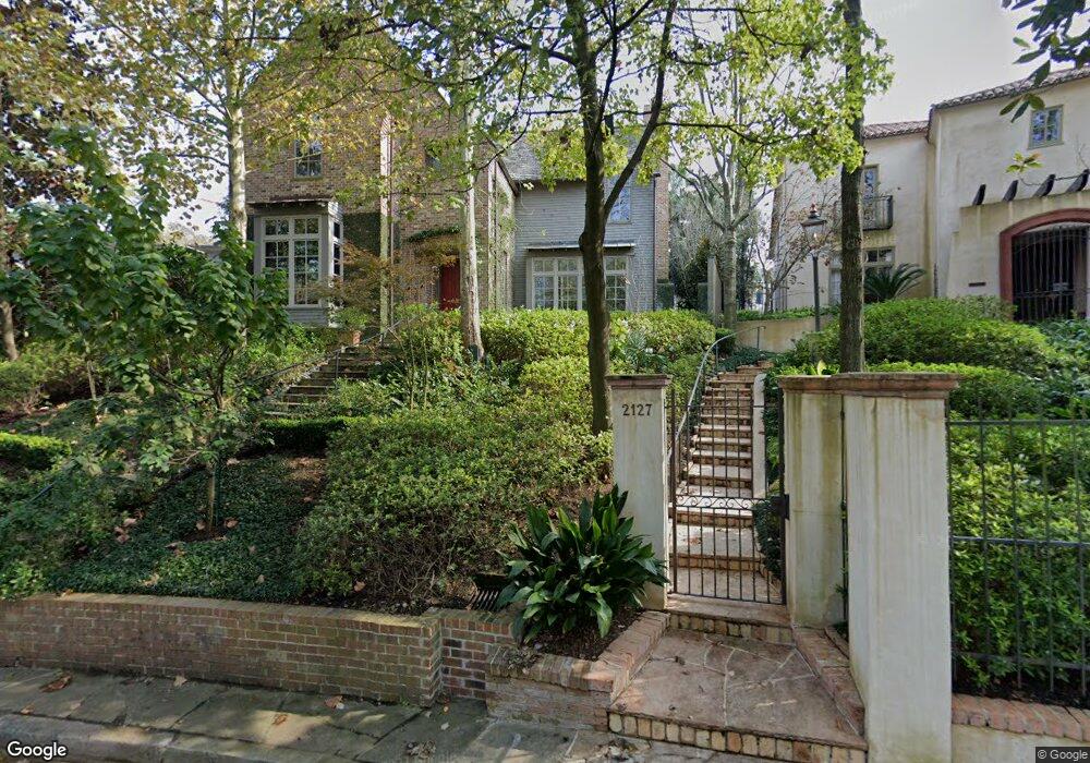
- 2127 Troon Rd
- 2123 Troon Rd
- 916 S Shepherd Dr
- 914 S Shepherd Dr
- 918 S Shepherd Dr
- 2121 Troon Rd
- 912 S Shepherd Dr
- 2131 Troon Rd
- 910 S Shepherd Dr
- 2002 Chilton Rd
- 2119 Troon Rd
- 2016 Chilton Rd
- 908 S Shepherd Dr
- 2022 Chilton Rd
- 2139 Troon Rd
- 2115 Troon Rd
- 906 S Shepherd Dr
- 2100 Troon Rd
- 2120 Troon Rd
- 2102 Chilton Rd