2126 E Rutland Ln Martinsville, IN 46151
Estimated Value: $490,413 - $617,000
4
Beds
3
Baths
2,637
Sq Ft
$204/Sq Ft
Est. Value
About This Home
This home is located at 2126 E Rutland Ln, Martinsville, IN 46151 and is currently estimated at $537,103, approximately $203 per square foot. 2126 E Rutland Ln is a home located in Morgan County with nearby schools including Martinsville High School.
Ownership History
Date
Name
Owned For
Owner Type
Purchase Details
Closed on
Sep 19, 2014
Sold by
Smith Thomas Lynn and Smith Mavis K
Bought by
Roke Development Llc
Current Estimated Value
Purchase Details
Closed on
Dec 17, 2007
Sold by
Cartus Corp
Bought by
Smith Thomas Lynn and Smith Mavis K
Home Financials for this Owner
Home Financials are based on the most recent Mortgage that was taken out on this home.
Original Mortgage
$89,000
Interest Rate
6.13%
Mortgage Type
Purchase Money Mortgage
Purchase Details
Closed on
Jul 7, 2006
Sold by
Jackson John L and Jackson Claudia S
Bought by
Cartus Financial Corp
Create a Home Valuation Report for This Property
The Home Valuation Report is an in-depth analysis detailing your home's value as well as a comparison with similar homes in the area
Home Values in the Area
Average Home Value in this Area
Purchase History
| Date | Buyer | Sale Price | Title Company |
|---|---|---|---|
| Roke Development Llc | -- | None Available | |
| Smith Thomas Lynn | -- | -- | |
| Cartus Financial Corp | -- | -- |
Source: Public Records
Mortgage History
| Date | Status | Borrower | Loan Amount |
|---|---|---|---|
| Previous Owner | Smith Thomas Lynn | $89,000 |
Source: Public Records
Tax History Compared to Growth
Tax History
| Year | Tax Paid | Tax Assessment Tax Assessment Total Assessment is a certain percentage of the fair market value that is determined by local assessors to be the total taxable value of land and additions on the property. | Land | Improvement |
|---|---|---|---|---|
| 2024 | $4,455 | $431,500 | $65,100 | $366,400 |
| 2023 | $4,352 | $431,500 | $65,100 | $366,400 |
| 2022 | $3,529 | $390,300 | $65,100 | $325,200 |
| 2021 | $2,723 | $311,600 | $31,800 | $279,800 |
| 2020 | $2,528 | $300,500 | $31,400 | $269,100 |
| 2019 | $2,601 | $286,700 | $31,400 | $255,300 |
| 2018 | $2,309 | $260,900 | $31,400 | $229,500 |
| 2017 | $2,106 | $238,900 | $31,400 | $207,500 |
| 2016 | $2,192 | $238,900 | $31,400 | $207,500 |
| 2014 | $855 | $235,800 | $31,400 | $204,400 |
| 2013 | $855 | $235,800 | $31,400 | $204,400 |
Source: Public Records
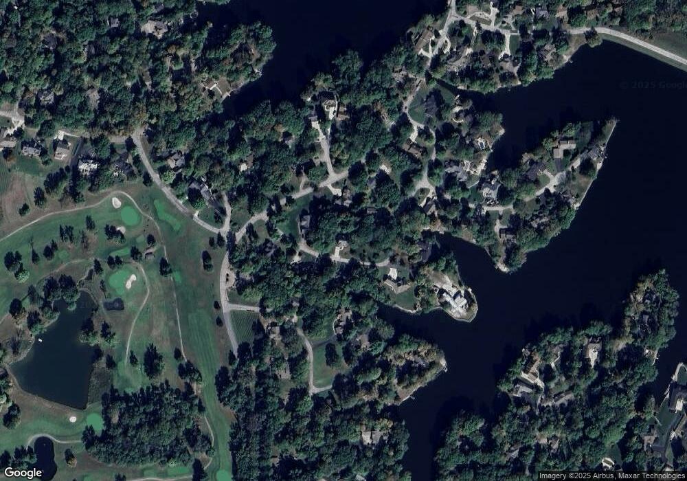
Map
Nearby Homes
- 3649 N Devon Dr
- 1927 E Derby Ct
- 3671 N Windsor Place
- 2001 E Ely Ct
- 3813 N Ramsgate Rd
- N Oxford Ct N Oxford Ct
- 0 N Oxford Ct Unit MBR21838244
- 0 Foxcliff East Dr S Unit MBR22069585
- 0 E Durham Dr Unit MBR22052372
- LOT 293 E Durham Dr
- Lot #297 E Durham Dr
- 3185 N Southampton Ridge
- 3160 Southampton Dr
- 1730 E Durham Dr
- 899/900 L Southampton Dr
- 0 E Terrace S Unit MBR22039049
- 3170 N Country Club Rd
- 2975 Southampton Dr
- 3380 N Pine Song Dr
- 2925 Fox Ct E
- 3769 N Foxcliff Dr E
- 2118 E Rutland Ln
- 2137 E Rutland Ln
- 2156 E Rutland Ln
- 1819 W Foxcliff Dr S
- 1817 W Foxcliff Dr S
- 2111 E Rutland Ln
- 0 E Rutland Unit MBR21981766
- 86 Rutland Ln
- 1818 N Foxcliff Dr E
- 1819 N Foxcliff Dr E
- 1815 N Foxcliff Dr E
- 3775 N Foxcliff Dr E
- 2103 E Rutland Ln
- 3697 N Devon Dr
- 3762 N Foxcliff Dr E
- 2141 E Rutland Ln
- 3673 N Devon Dr
- 2149 E Rutland Ln
- 1505 N Foxcliff Dr E