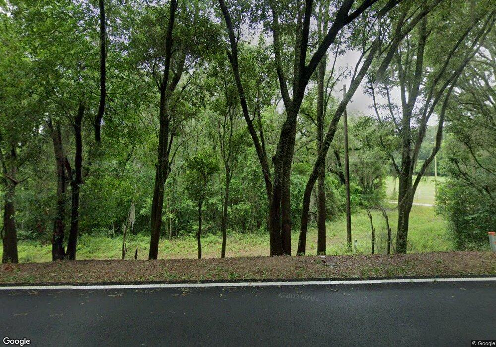
2126 Lily Pond Rd Albany, GA 31721
Estimated Value: $78,000 - $93,000
--
Bed
--
Bath
980
Sq Ft
$85/Sq Ft
Est. Value
About This Home
This home is located at 2126 Lily Pond Rd, Albany, GA 31721 and is currently estimated at $83,431, approximately $85 per square foot. 2126 Lily Pond Rd is a home with nearby schools including Alice Coachman Elementary School, Southside Middle School, and Monroe High School.
Ownership History
Date
Name
Owned For
Owner Type
Purchase Details
Closed on
Jan 30, 2020
Sold by
Wells Fargo Bank Na
Bought by
Femine Robert Delle and Femine Gena L Delle
Current Estimated Value
Purchase Details
Closed on
Mar 29, 1999
Sold by
Williams Patsy A Est By Drew A Pinkston
Bought by
Pinkston Drew
Purchase Details
Closed on
Jan 4, 1999
Sold by
Williams Patsy A U and Williams Will
Bought by
Pinkston Drew
Purchase Details
Closed on
Nov 10, 1994
Sold by
Williams Billy Earl and Mary Anne
Bought by
Williams Patsy A
Purchase Details
Closed on
Jul 7, 1989
Sold by
Blackshear Blackshear C and Blackshear Miles
Bought by
Williams Billy and Williams Ary
Create a Home Valuation Report for This Property
The Home Valuation Report is an in-depth analysis detailing your home's value as well as a comparison with similar homes in the area
Home Values in the Area
Average Home Value in this Area
Purchase History
| Date | Buyer | Sale Price | Title Company |
|---|---|---|---|
| Femine Robert Delle | $44,460 | -- | |
| Pinkston Drew | $50,000 | -- | |
| Pinkston Drew | -- | -- | |
| Williams Patsy A | $55,000 | -- | |
| Williams Billy | -- | -- |
Source: Public Records
Tax History Compared to Growth
Tax History
| Year | Tax Paid | Tax Assessment Tax Assessment Total Assessment is a certain percentage of the fair market value that is determined by local assessors to be the total taxable value of land and additions on the property. | Land | Improvement |
|---|---|---|---|---|
| 2024 | $654 | $14,160 | $13,600 | $560 |
| 2023 | $655 | $14,160 | $13,600 | $560 |
| 2022 | $656 | $14,160 | $13,600 | $560 |
| 2021 | $607 | $14,160 | $13,600 | $560 |
| 2020 | $608 | $14,160 | $13,600 | $560 |
| 2019 | $627 | $16,560 | $13,600 | $2,960 |
| 2018 | $629 | $16,560 | $13,600 | $2,960 |
| 2017 | $585 | $16,560 | $13,600 | $2,960 |
| 2016 | $585 | $16,560 | $13,600 | $2,960 |
| 2015 | $1,327 | $34,960 | $32,000 | $2,960 |
| 2014 | $578 | $16,560 | $13,600 | $2,960 |
Source: Public Records
Map
Nearby Homes
- 5407 Paulk Dr
- 5404 Paulk Dr
- 2613 Lonesome Rd
- 0000 Hamilton Dr
- 6224 Newton Rd
- 5616 Newton Rd
- 3610 Slade Ave
- 1610 Lily Pond Rd
- 6413 Newton Rd
- 2610 North Ave
- 3710 Coakley Ave
- 3211 Higgins Dr
- 000 Lily Pond Rd
- 1503 Lily Pond Rd
- 3108 Higgins Dr
- 4200 Vanderbilt Dr
- 2307 Evergreen Dr
- 2906 Barnaby Dr
- 2914 Barnaby Dr
- 2910 Barnaby Dr
- 5840 Curtis St
- 5900 Curtis St
- 2711 Leary Rd
- 5901 Curtis St
- 5902 Curtis St
- 5903 Curtis St
- 5900 Woodcliff St
- 2112 Denson Rd
- 5905 Curtis St
- 5904 Curtis St
- 5901 Woodcliff St
- 5904 Woodcliff St
- 2805 Leary Rd
- 2101 Lily Pond Rd
- 2016 Lily Pond Rd
- 5908 Woodcliff St
- 5903 Woodcliff St
- 5906 Curtis St
- 2729 Leary Rd
- 2733 Leary Rd
