Estimated Value: $225,636 - $264,000
3
Beds
2
Baths
1,312
Sq Ft
$185/Sq Ft
Est. Value
About This Home
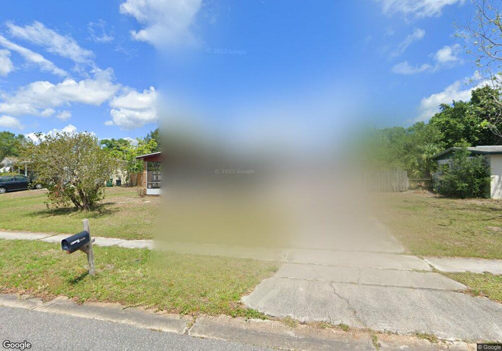
This home is located at 2126 Muskingum Ave, Cocoa, FL 32926 and is currently estimated at $242,409, approximately $184 per square foot. 2126 Muskingum Ave is a home located in Brevard County with nearby schools including Cambridge Elementary Magnet School, Cocoa High School, and Emma Jewel Charter Academy.
Ownership History
Date
Name
Owned For
Owner Type
Purchase Details
Closed on
Feb 20, 2009
Sold by
Saraniero Bernice and Saraniero Joseph George
Bought by
Saraniero Bernice
Current Estimated Value
Home Financials for this Owner
Home Financials are based on the most recent Mortgage that was taken out on this home.
Original Mortgage
$195,000
Outstanding Balance
$123,527
Interest Rate
5.14%
Mortgage Type
Reverse Mortgage Home Equity Conversion Mortgage
Estimated Equity
$118,882
Purchase Details
Closed on
Jan 18, 2000
Sold by
Saraniero Bernice
Bought by
Saraniero Joseph George
Create a Home Valuation Report for This Property
The Home Valuation Report is an in-depth analysis detailing your home's value as well as a comparison with similar homes in the area
Home Values in the Area
Average Home Value in this Area
Purchase History
| Date | Buyer | Sale Price | Title Company |
|---|---|---|---|
| Saraniero Bernice | -- | None Available | |
| Saraniero Joseph George | -- | -- |
Source: Public Records
Mortgage History
| Date | Status | Borrower | Loan Amount |
|---|---|---|---|
| Open | Saraniero Bernice | $195,000 |
Source: Public Records
Tax History Compared to Growth
Tax History
| Year | Tax Paid | Tax Assessment Tax Assessment Total Assessment is a certain percentage of the fair market value that is determined by local assessors to be the total taxable value of land and additions on the property. | Land | Improvement |
|---|---|---|---|---|
| 2025 | $2,763 | $130,730 | -- | -- |
| 2024 | $2,597 | $155,350 | -- | -- |
| 2023 | $2,597 | $145,350 | $0 | $0 |
| 2022 | $2,215 | $125,260 | $0 | $0 |
| 2021 | $2,004 | $95,180 | $40,000 | $55,180 |
| 2020 | $1,848 | $89,340 | $37,000 | $52,340 |
| 2019 | $1,733 | $81,910 | $37,000 | $44,910 |
| 2018 | $1,560 | $80,280 | $35,000 | $45,280 |
| 2017 | $1,432 | $66,770 | $30,000 | $36,770 |
| 2016 | $627 | $45,160 | $19,000 | $26,160 |
| 2015 | $626 | $44,850 | $19,000 | $25,850 |
| 2014 | $574 | $44,500 | $19,000 | $25,500 |
Source: Public Records
Map
Nearby Homes
- 00 N Unknown
- 0000 Unknown
- 00000 Unknown
- 2111 Otterbein Ave
- 1933 Quail Ridge Ct Unit 1101
- 2523 Auburn Dr
- 1954 Quail Ridge Ct Unit 1704
- 1627 Calvados Dr
- 2426 Granville Dr
- 2713 Winchester Dr
- 3004 Winchester Dr
- 2411 Stanford Dr
- 2702 Winchester Dr
- 2413 Cherbourg Rd
- 3104 Winchester Dr
- 2314 Mercer Dr
- 3116 Winchester Dr
- 2221 Catawba Dr
- 3057 Skyline Dr
- 1556 University Ln Unit 406
- 2122 Muskingum Ave
- 2134 Muskingum Ave
- 2813 Denison Ct
- 2809 Denison Ct
- 2125 Muskingum Ave
- 2817 Denison Ct
- 2118 Muskingum Ave
- 2138 Muskingum Ave
- 2129 Muskingum Ave
- 2121 Muskingum Ave
- 2805 Denison Ct
- 3 Vacant Lots Satellite Blv
- 0 Brothy Unit 507540
- 0 0000 Unit 520165
- 0 Brothy Unit 543106
- 0 Ardelle Lane and Pioneer Unit 555933
- 000 No Name
- 0 W of Areca Palm Sec 32 Unit 741251
- 0 E of Grissom Sec 1 B 12 L9 Unit 741314
- 3891-3861 Us1 Dr