Estimated Value: $213,505 - $297,000
--
Bed
1
Bath
1,264
Sq Ft
$196/Sq Ft
Est. Value
About This Home
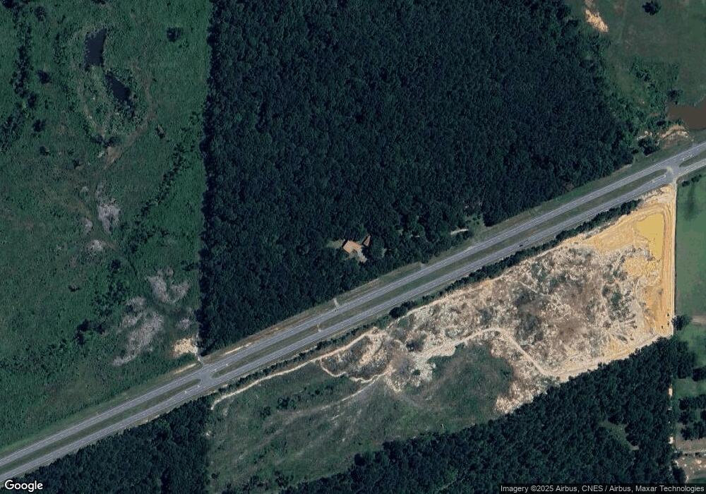
This home is located at 2126 Us Highway 84 W, Cairo, GA 39827 and is currently estimated at $248,126, approximately $196 per square foot. 2126 Us Highway 84 W is a home located in Grady County.
Ownership History
Date
Name
Owned For
Owner Type
Purchase Details
Closed on
Jan 10, 2006
Sold by
Hudson Ruby B
Bought by
Lores Timothy M and Lores Shelia W
Current Estimated Value
Home Financials for this Owner
Home Financials are based on the most recent Mortgage that was taken out on this home.
Original Mortgage
$86,450
Outstanding Balance
$48,448
Interest Rate
6.22%
Mortgage Type
New Conventional
Estimated Equity
$199,678
Purchase Details
Closed on
Oct 12, 1981
Bought by
Hudson Ruby
Create a Home Valuation Report for This Property
The Home Valuation Report is an in-depth analysis detailing your home's value as well as a comparison with similar homes in the area
Home Values in the Area
Average Home Value in this Area
Purchase History
| Date | Buyer | Sale Price | Title Company |
|---|---|---|---|
| Lores Timothy M | $91,000 | -- | |
| Hudson Ruby | -- | -- |
Source: Public Records
Mortgage History
| Date | Status | Borrower | Loan Amount |
|---|---|---|---|
| Open | Lores Timothy M | $86,450 |
Source: Public Records
Tax History Compared to Growth
Tax History
| Year | Tax Paid | Tax Assessment Tax Assessment Total Assessment is a certain percentage of the fair market value that is determined by local assessors to be the total taxable value of land and additions on the property. | Land | Improvement |
|---|---|---|---|---|
| 2024 | $2,098 | $70,192 | $19,110 | $51,082 |
| 2023 | $968 | $33,442 | $8,975 | $24,467 |
| 2022 | $968 | $33,442 | $8,975 | $24,467 |
| 2021 | $989 | $34,012 | $8,975 | $25,037 |
| 2020 | $992 | $34,012 | $8,975 | $25,037 |
| 2019 | $992 | $34,012 | $8,975 | $25,037 |
| 2018 | $931 | $34,012 | $8,975 | $25,037 |
| 2017 | $886 | $34,012 | $8,975 | $25,037 |
| 2016 | $793 | $30,479 | $8,975 | $21,504 |
| 2015 | $784 | $30,479 | $8,975 | $21,504 |
| 2014 | -- | $29,297 | $8,975 | $20,322 |
| 2013 | -- | $30,255 | $12,038 | $18,216 |
Source: Public Records
Map
Nearby Homes
- 231 Mcintyre Ln
- 267 Providence Rd
- 206 Lodge Ln
- 0 Upper Hawthorne Trail
- 1520 Upper Hawthorne Trail
- 1137 Summerfield
- 165 Larkin St
- 723 Providence Rd
- 1389 Lake Front Dr
- Lot 1 Crine Blvd
- 1500 15th Ave NW
- 1296 McQuaig St NW
- 1200 15th Ave NW
- 1725 Tract 2 Hwy 84w
- 1725 Tract #1 Hwy 84w
- 1385 Martin Luther King Junior Ave
- 1006 Syrup Mill Creek
- 1002 Syrup Mill Creek
- 1006 Syrup Mill Creek Ln
- 000 1st Ave SW
