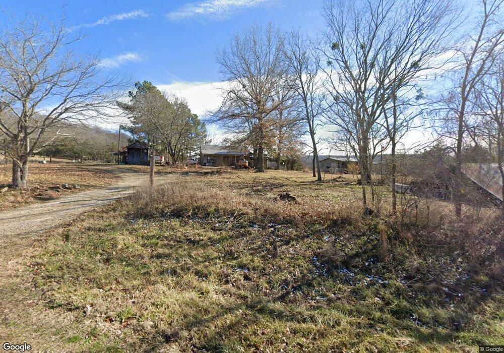
21261 Springston Ford Rd Elkins, AR 72727
Estimated Value: $245,000 - $288,000
--
Bed
2
Baths
1,618
Sq Ft
$164/Sq Ft
Est. Value
About This Home
This home is located at 21261 Springston Ford Rd, Elkins, AR 72727 and is currently estimated at $265,662, approximately $164 per square foot. 21261 Springston Ford Rd is a home located in Washington County with nearby schools including Elkins Elementary Primary School, Elkins Elementary School, and Elkins Middle School.
Ownership History
Date
Name
Owned For
Owner Type
Purchase Details
Closed on
Jul 18, 2017
Sold by
Brake Morgan Jeannette
Bought by
Brake Dawn Jeannette
Current Estimated Value
Home Financials for this Owner
Home Financials are based on the most recent Mortgage that was taken out on this home.
Original Mortgage
$65,000
Outstanding Balance
$54,019
Interest Rate
3.9%
Mortgage Type
New Conventional
Estimated Equity
$211,643
Purchase Details
Closed on
Jul 18, 1994
Bought by
Brake Bradley J
Create a Home Valuation Report for This Property
The Home Valuation Report is an in-depth analysis detailing your home's value as well as a comparison with similar homes in the area
Home Values in the Area
Average Home Value in this Area
Purchase History
| Date | Buyer | Sale Price | Title Company |
|---|---|---|---|
| Brake Dawn Jeannette | -- | None Available | |
| Brake Bradley J | -- | -- |
Source: Public Records
Mortgage History
| Date | Status | Borrower | Loan Amount |
|---|---|---|---|
| Open | Brake Dawn Jeannette | $65,000 |
Source: Public Records
Tax History Compared to Growth
Tax History
| Year | Tax Paid | Tax Assessment Tax Assessment Total Assessment is a certain percentage of the fair market value that is determined by local assessors to be the total taxable value of land and additions on the property. | Land | Improvement |
|---|---|---|---|---|
| 2025 | $754 | $30,360 | $2,750 | $27,610 |
| 2024 | $913 | $37,070 | $7,340 | $29,730 |
| 2023 | $957 | $37,070 | $7,340 | $29,730 |
| 2022 | $941 | $29,560 | $8,600 | $20,960 |
| 2021 | $884 | $29,560 | $8,600 | $20,960 |
| 2020 | $827 | $29,560 | $8,600 | $20,960 |
| 2019 | $774 | $22,660 | $6,700 | $15,960 |
| 2018 | $799 | $22,660 | $6,700 | $15,960 |
| 2017 | $788 | $22,660 | $6,700 | $15,960 |
| 2016 | $788 | $22,660 | $6,700 | $15,960 |
| 2015 | $785 | $22,660 | $6,700 | $15,960 |
| 2014 | $731 | $21,542 | $5,978 | $15,564 |
Source: Public Records
Map
Nearby Homes
- 1022 Adysen Ln
- 503 Jason St
- 607 Jason St
- 517 Jason St
- 21964 Raven Rd
- 10836 Bray Rd
- 20266 Mount Olive Rd
- 0 Tbd Madison Cr 6021 Unit 1319733
- 6451 Madison 6041
- 20553 Durham McCord Rd
- 19641 Conestoga Rd
- 2107 Madison 4097
- 19105 Feather Hill Rd
- 339 Madison 6122 & 440 Madison 6122
- 12016 Snake Branch Rd
- 122 Madison 6124
- 895 Madison 6180
- 0 277 Madison 6124 Unit 1298983
- 20409 E Hwy 74
- 20096 E Hwy 74 Hwy
- 21180 Springston Ford Rd
- 21320 Springston Ford Rd
- 21175 Springston Ford Rd
- 21104 Rothrock Rd
- 21070 Springston Ford Rd
- 21252 Springston Ford Rd
- 21101 Rothrock Rd
- 21345 Springston Ford Rd
- 21220 Rothrock Rd
- 21045 Springston Ford Rd
- 0 Springston Ford Unit 1040406
- 21235 Kirksey Rd
- 21224 Rothrock Rd
- 21199 Rothrock Rd
- 21376 Rothrock Rd
- 0 Springton Ford Rd Unit 623920
- 21368 Rothrock Rd
- 21748 Everett Hill Rd
- 21748 Everett Hill Rd
- 21001 Springston Ford Rd