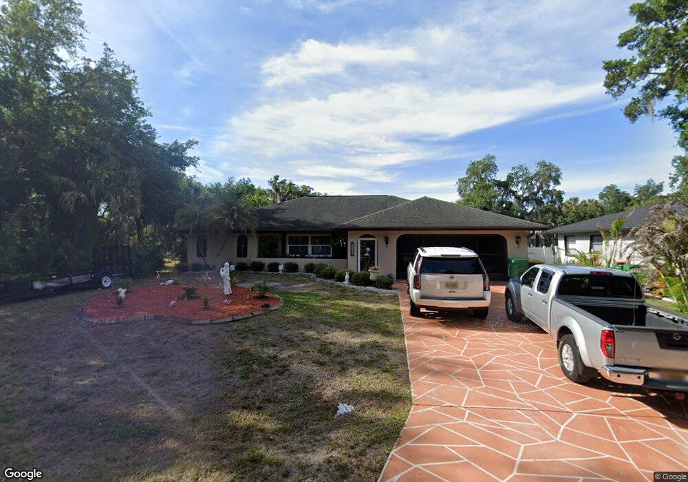
21269 Washburn Ave Port Charlotte, FL 33952
Estimated Value: $328,000 - $383,000
3
Beds
2
Baths
1,939
Sq Ft
$178/Sq Ft
Est. Value
About This Home
This home is located at 21269 Washburn Ave, Port Charlotte, FL 33952 and is currently estimated at $344,976, approximately $177 per square foot. 21269 Washburn Ave is a home located in Charlotte County with nearby schools including Neil Armstrong Elementary School, Murdock Middle School, and Port Charlotte High School.
Ownership History
Date
Name
Owned For
Owner Type
Purchase Details
Closed on
Dec 13, 2017
Sold by
Tylor James C
Bought by
Tylor James C and Cascio Deborah J
Current Estimated Value
Purchase Details
Closed on
Jul 8, 2016
Sold by
Gabrish Doris M
Bought by
Taylor James C
Home Financials for this Owner
Home Financials are based on the most recent Mortgage that was taken out on this home.
Original Mortgage
$146,250
Outstanding Balance
$116,977
Interest Rate
3.64%
Mortgage Type
New Conventional
Estimated Equity
$227,999
Purchase Details
Closed on
Apr 5, 2005
Sold by
Gabrish Doris M
Bought by
Gabrish Doris M and Gabrish James J
Create a Home Valuation Report for This Property
The Home Valuation Report is an in-depth analysis detailing your home's value as well as a comparison with similar homes in the area
Home Values in the Area
Average Home Value in this Area
Purchase History
| Date | Buyer | Sale Price | Title Company |
|---|---|---|---|
| Tylor James C | -- | Attorney | |
| Taylor James C | $195,000 | Stewart Title Co | |
| Gabrish Doris M | -- | -- |
Source: Public Records
Mortgage History
| Date | Status | Borrower | Loan Amount |
|---|---|---|---|
| Open | Taylor James C | $146,250 |
Source: Public Records
Tax History Compared to Growth
Tax History
| Year | Tax Paid | Tax Assessment Tax Assessment Total Assessment is a certain percentage of the fair market value that is determined by local assessors to be the total taxable value of land and additions on the property. | Land | Improvement |
|---|---|---|---|---|
| 2023 | $3,333 | $209,800 | $0 | $0 |
| 2022 | $3,283 | $203,689 | $0 | $0 |
| 2021 | $3,282 | $197,756 | $0 | $0 |
| 2020 | $3,224 | $195,026 | $4,675 | $190,351 |
| 2019 | $3,124 | $190,823 | $4,675 | $186,148 |
| 2018 | $3,430 | $184,175 | $4,250 | $179,925 |
| 2017 | $3,166 | $161,645 | $4,216 | $157,429 |
| 2016 | $1,390 | $92,504 | $0 | $0 |
| 2015 | $1,375 | $91,861 | $0 | $0 |
| 2014 | $1,350 | $91,132 | $0 | $0 |
Source: Public Records
Map
Nearby Homes
- 1150 Winston St
- 21252 Kennedy Ave
- 21220 Pemberton Ave
- 21229 Peachland Blvd
- 21161 Knollwood Ave
- 1233 Dewhurst St
- 1022 Waterside St
- 1012 Waterside St
- 21427 Sheldon Ave
- 21427 Michigan Ave
- 21192 Quesada Ave
- 21271 Quesada Ave
- 21460 Sheldon Ave
- 1205 Yorkshire St
- 1178 Sultana St
- 21086 Peachland Blvd
- 1228 Ardella St
- 21460 Chipman Ave
- 1321 Newton St
- 21288 Argyle Ave
- 21261 Washburn Ave
- 21276 Knollwood Ave
- 21260 Knollwood Ave
- 21284 Knollwood Ave
- 21252 Knollwood Ave
- 21252 Washburn Ave
- 21284 Washburn Ave
- 21293 Washburn Ave
- 21292 Knollwood Ave
- 21269 Kennedy Ave
- 21261 Kennedy Ave
- 21275 Knollwood Ave
- 21301 Washburn Ave
- 21253 Kennedy Ave
- 21236 Knollwood Ave
- 21300 Washburn Ave
- 21236 Washburn Ave
- 21293 Kennedy Ave
- 1131 Winston St
- 21228 Washburn Ave