2127 Banks St Unit 4-A Houston, TX 77098
University Place NeighborhoodEstimated Value: $630,000 - $948,959
1
Bed
1
Bath
3,444
Sq Ft
$234/Sq Ft
Est. Value
About This Home
This home is located at 2127 Banks St Unit 4-A, Houston, TX 77098 and is currently estimated at $804,653, approximately $233 per square foot. 2127 Banks St Unit 4-A is a home located in Harris County with nearby schools including Poe Elementary School, Lanier Middle School, and Lamar High School.
Ownership History
Date
Name
Owned For
Owner Type
Purchase Details
Closed on
May 31, 2018
Sold by
2234 South Boulevard Llc
Bought by
Vanvanle Thao Van and Le An Nguyen
Current Estimated Value
Home Financials for this Owner
Home Financials are based on the most recent Mortgage that was taken out on this home.
Original Mortgage
$320,000
Outstanding Balance
$235,372
Interest Rate
4.5%
Mortgage Type
Future Advance Clause Open End Mortgage
Estimated Equity
$569,281
Purchase Details
Closed on
May 25, 2016
Sold by
Farah Fred and Gerges Roula Elias
Bought by
2234 S Boulevard Llc
Purchase Details
Closed on
Sep 26, 2014
Sold by
Ragusa Investment Properties Llc
Bought by
Ragusa Mark L and Ragusa Angela
Purchase Details
Closed on
Aug 23, 2007
Sold by
Ragusa Mark Leon and Ragusa Angela
Bought by
State Of Texas
Create a Home Valuation Report for This Property
The Home Valuation Report is an in-depth analysis detailing your home's value as well as a comparison with similar homes in the area
Home Values in the Area
Average Home Value in this Area
Purchase History
| Date | Buyer | Sale Price | Title Company |
|---|---|---|---|
| Vanvanle Thao Van | -- | Title Houston Holdings Ltd | |
| 2234 S Boulevard Llc | -- | Title Houston Holdings Ltd | |
| Ragusa Mark L | -- | Fidelity National Title | |
| State Of Texas | -- | None Available |
Source: Public Records
Mortgage History
| Date | Status | Borrower | Loan Amount |
|---|---|---|---|
| Open | Vanvanle Thao Van | $320,000 |
Source: Public Records
Tax History Compared to Growth
Tax History
| Year | Tax Paid | Tax Assessment Tax Assessment Total Assessment is a certain percentage of the fair market value that is determined by local assessors to be the total taxable value of land and additions on the property. | Land | Improvement |
|---|---|---|---|---|
| 2025 | $18,474 | $898,000 | $679,219 | $218,781 |
| 2024 | $18,474 | $882,939 | $620,156 | $262,783 |
| 2023 | $18,474 | $853,483 | $561,094 | $292,389 |
| 2022 | $17,615 | $800,000 | $561,094 | $238,906 |
| 2021 | $17,675 | $758,371 | $561,094 | $197,277 |
| 2020 | $18,303 | $755,832 | $561,094 | $194,738 |
| 2019 | $19,126 | $755,832 | $561,094 | $194,738 |
| 2018 | $16,600 | $656,000 | $561,094 | $94,906 |
| 2017 | $18,010 | $712,272 | $561,094 | $151,178 |
| 2016 | $14,883 | $588,605 | $561,094 | $27,511 |
| 2015 | $10,708 | $588,605 | $561,094 | $27,511 |
| 2014 | $10,708 | $416,537 | $383,906 | $32,631 |
Source: Public Records
Map
Nearby Homes
- 2124 Banks St
- 2127 Milford St
- 2102 Banks St
- 2224 North Blvd
- 2205 North Blvd
- 2210 Bartlett St
- 2227 North Blvd
- 2244 North Blvd
- 1959 Lexington St
- 2016 Milford St
- 1955 Lexington St
- 2130 South Blvd
- 1933 Lexington St
- 1925 Lexington St
- 2039 South Blvd
- 2320 Bartlett St
- 2042 Bissonnet St
- 1964 Norfolk St
- 4129 W Northampton Place
- 1938 Norfolk St
- 2127 Banks St
- 2127 Banks St Unit 4
- 2129 Banks St
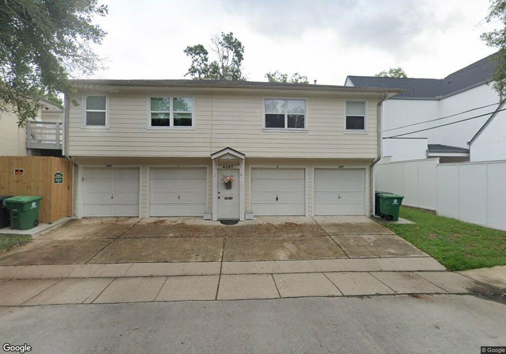
- 4207 S Shepherd Dr Unit 2
- 2123 Banks St
- 2121 Banks St
- 2119 Banks St
- 2126 Milford St
- 2122 Milford St
- 4106 S Shepherd Dr
- 2117 Banks St
- 2116 Milford St
- 2126 Banks St Unit 1
- 2126 Banks St Unit 2
- 2126 Banks St Unit 3
- 2126 Banks St Unit 4
- 2122 Banks St
- 2111 Banks St
- 2111 Banks St Unit 1
- 2120 Banks St