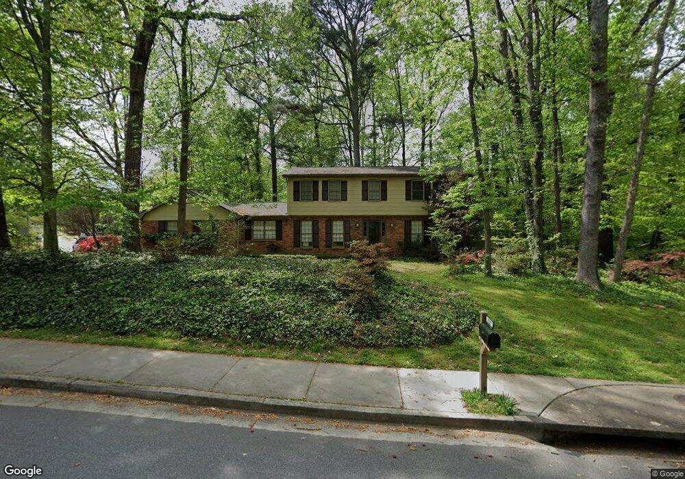
2127 Brendon Dr Unit 4 Atlanta, GA 30338
Estimated Value: $642,000 - $684,000
4
Beds
3
Baths
2,638
Sq Ft
$251/Sq Ft
Est. Value
About This Home
This home is located at 2127 Brendon Dr Unit 4, Atlanta, GA 30338 and is currently estimated at $662,219, approximately $251 per square foot. 2127 Brendon Dr Unit 4 is a home located in DeKalb County with nearby schools including Kingsley Elementary School, Peachtree Middle School, and Dunwoody High School.
Ownership History
Date
Name
Owned For
Owner Type
Purchase Details
Closed on
Jan 14, 2022
Sold by
Clark T Craig
Bought by
Clark Andrew and Clark Britton Amick
Current Estimated Value
Home Financials for this Owner
Home Financials are based on the most recent Mortgage that was taken out on this home.
Original Mortgage
$411,000
Outstanding Balance
$378,566
Interest Rate
3.22%
Mortgage Type
Cash
Estimated Equity
$283,653
Purchase Details
Closed on
May 13, 1993
Sold by
Houle Walter D
Bought by
Clark J Craig Nancy
Create a Home Valuation Report for This Property
The Home Valuation Report is an in-depth analysis detailing your home's value as well as a comparison with similar homes in the area
Home Values in the Area
Average Home Value in this Area
Purchase History
| Date | Buyer | Sale Price | Title Company |
|---|---|---|---|
| Clark Andrew | $515,000 | -- | |
| Clark J Craig Nancy | $155,000 | -- |
Source: Public Records
Mortgage History
| Date | Status | Borrower | Loan Amount |
|---|---|---|---|
| Open | Clark Andrew | $411,000 | |
| Closed | Clark J Craig Nancy | -- |
Source: Public Records
Tax History Compared to Growth
Tax History
| Year | Tax Paid | Tax Assessment Tax Assessment Total Assessment is a certain percentage of the fair market value that is determined by local assessors to be the total taxable value of land and additions on the property. | Land | Improvement |
|---|---|---|---|---|
| 2025 | $6,555 | $238,600 | $54,000 | $184,600 |
| 2024 | $6,140 | $214,640 | $54,000 | $160,640 |
| 2023 | $6,140 | $206,000 | $52,080 | $153,920 |
| 2022 | $5,416 | $200,520 | $54,000 | $146,520 |
| 2021 | $4,478 | $162,520 | $54,000 | $108,520 |
| 2020 | $4,065 | $140,760 | $54,000 | $86,760 |
| 2019 | $3,865 | $135,200 | $54,000 | $81,200 |
| 2018 | $3,717 | $125,120 | $44,160 | $80,960 |
| 2017 | $4,041 | $122,480 | $44,160 | $78,320 |
| 2016 | $3,834 | $119,760 | $44,160 | $75,600 |
| 2014 | $3,710 | $113,560 | $44,160 | $69,400 |
Source: Public Records
Map
Nearby Homes
- 5231 Seaton Dr
- 5145 Davantry Dr
- 2220 Spring Mill Cove
- 5004 Delverton Ct Unit 8
- 5015 Oakhurst Walk
- 5401 Seaton Way
- 2293 Littlebrooke Trace
- 4942 Lakeland Woods Ct
- 5318 Brooke Farm Dr
- 5212 Falkirk Dr
- 5284 Brookelake Dr
- 5513 N Peachtree Rd
- 1983 Wellesley Trace
- 1971 Wellesley Trace
- 4772 Cherring Dr
- 1850 E Gate Cove
- 5264 Brooke Ridge Dr
- 2212 Dartford Dr
- 2117 Brendon Dr
- 2172 Stephens Walk Unit II
- 2168 Stephens Walk
- 2146 Brendon Dr
- 2137 Brendon Dr
- 2222 Dartford Dr
- 5199 Seaton Dr
- 2136 Brendon Dr
- 2164 Stephens Walk
- 2200 Brendon Ct
- 2221 Dartford Dr
- 2180 Stephens Walk Unit II
- 2120 Brendon Dr
- 5207 Seaton Dr Unit 4
- 2147 Brendon Dr
- 2232 Dartford Dr
- 2208 Brendon Ct
- 2188 Stephens Walk
- 2212 Brendon Ct Unit 4