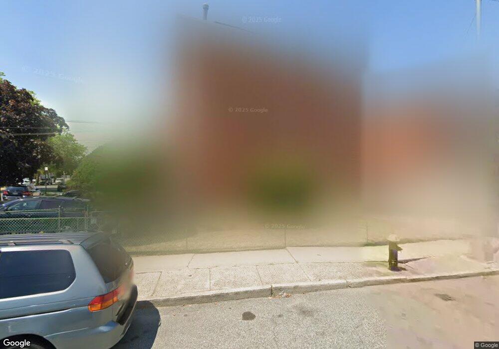
2127 Canarsie Rd Brooklyn, NY 11236
Canarsie NeighborhoodEstimated Value: $890,000 - $942,000
--
Bed
--
Bath
2,497
Sq Ft
$365/Sq Ft
Est. Value
About This Home
This home is located at 2127 Canarsie Rd, Brooklyn, NY 11236 and is currently estimated at $911,000, approximately $364 per square foot. 2127 Canarsie Rd is a home located in Kings County with nearby schools including P.S. 272 Curtis Estabrook, Is 68 Isaac Bildersee, and Canarsie Ascend Charter School.
Ownership History
Date
Name
Owned For
Owner Type
Purchase Details
Closed on
Nov 14, 2001
Sold by
Anderson Jeanette
Bought by
Anderson Jeanette and Boatswain Ceeann
Current Estimated Value
Home Financials for this Owner
Home Financials are based on the most recent Mortgage that was taken out on this home.
Original Mortgage
$16,065
Outstanding Balance
$6,223
Interest Rate
6.6%
Estimated Equity
$904,777
Purchase Details
Closed on
Dec 28, 1995
Sold by
Ozery Shoshana
Bought by
Anderson Jeanette and Small Rawle
Home Financials for this Owner
Home Financials are based on the most recent Mortgage that was taken out on this home.
Original Mortgage
$175,500
Interest Rate
7.25%
Create a Home Valuation Report for This Property
The Home Valuation Report is an in-depth analysis detailing your home's value as well as a comparison with similar homes in the area
Home Values in the Area
Average Home Value in this Area
Purchase History
| Date | Buyer | Sale Price | Title Company |
|---|---|---|---|
| Anderson Jeanette | -- | -- | |
| Anderson Jeanette | -- | Ati Title Agency |
Source: Public Records
Mortgage History
| Date | Status | Borrower | Loan Amount |
|---|---|---|---|
| Open | Anderson Jeanette | $16,065 | |
| Previous Owner | Anderson Jeanette | $175,500 |
Source: Public Records
Tax History Compared to Growth
Tax History
| Year | Tax Paid | Tax Assessment Tax Assessment Total Assessment is a certain percentage of the fair market value that is determined by local assessors to be the total taxable value of land and additions on the property. | Land | Improvement |
|---|---|---|---|---|
| 2025 | $6,365 | $60,060 | $10,440 | $49,620 |
| 2024 | $6,365 | $54,480 | $10,440 | $44,040 |
| 2023 | $5,407 | $54,900 | $10,440 | $44,460 |
| 2022 | $4,920 | $45,360 | $10,440 | $34,920 |
| 2021 | $4,877 | $47,400 | $10,440 | $36,960 |
| 2020 | $3,658 | $40,620 | $10,440 | $30,180 |
| 2019 | $5,476 | $39,780 | $10,440 | $29,340 |
| 2018 | $5,281 | $27,368 | $7,547 | $19,821 |
| 2017 | $4,964 | $25,819 | $7,389 | $18,430 |
| 2016 | $4,560 | $24,358 | $8,198 | $16,160 |
| 2015 | $3,639 | $22,980 | $8,700 | $14,280 |
| 2014 | $3,639 | $22,980 | $8,700 | $14,280 |
Source: Public Records
Map
Nearby Homes
- 9506 Seaview Ct
- 9505 Schenck St
- 9207 Schenck St
- 9526 Schenck St Unit 2
- 9534 Schenck St Unit 2
- 9536 Schenck St Unit 3
- 1644 E 96th St
- 1983 Rockaway Pkwy
- 9801 Seaview Ave
- 9811 Seaview Ave
- 9210 Avenue N Unit 101
- 1561 E 98th St
- 1593 Canarsie Rd
- 1541 E 95th St
- 1646 Remsen Ave
- 1904 Rockaway Pkwy
- 1528 E 98th St Unit 100B
- 1445 E 100th St
- 1429 E 89th St
- 1446 E 89th St
- 2123 Canarsie Rd
- 2121 Canarsie Rd
- 9505 Seaview Ct
- 2117 Canarsie Rd
- 9509 Seaview Ct
- 2115 Canarsie Rd
- 9511 Seaview Ct
- 9515 Seaview Ct
- 9502 Seaview Ct
- 2111 Canarsie Rd
- 9517 Seaview Ct
- 9508 Seaview Ct
- 9412 Skidmore Ave
- 9512 Seaview Ct
- 9521 Seaview Ct
- 9416 Skidmore Ave
- 9514 Seaview Ct
- 2107 Canarsie Rd
- 9418 Skidmore Ave
- 9418 Skidmore Ave Unit 2