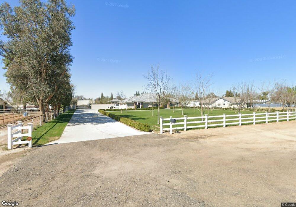
2127 Driver Rd Bakersfield, CA 93314
Estimated Value: $859,000 - $1,078,000
About This Home
This home is located at 2127 Driver Rd, Bakersfield, CA 93314 and is currently estimated at $1,010,858, approximately $351 per square foot. 2127 Driver Rd is a home with nearby schools including Rio Bravo-Greeley Elementary School, Rio Bravo Elementary School, and Liberty High School.
Ownership History
We collect this data history from publicly available records. To have your information removed, we recommend requesting removal directly through your county’s website.
Purchase Details
Purchase Details
Home Financials for this Owner
Home Financials are based on the most recent Mortgage that was taken out on this home.Purchase Details
Home Values in the Area
Average Home Value in this Area
Purchase History
We collect this data history from publicly available records. To have your information removed, we recommend requesting removal directly through your county’s website.
| Date | Buyer | Sale Price | Title Company |
|---|---|---|---|
| -- | None Listed On Document | ||
| -- | Placer Title Company | ||
| $130,000 | Ticor Title Company |
Mortgage History
We collect this data history from publicly available records. To have your information removed, we recommend requesting removal directly through your county’s website.
| Date | Status | Borrower | Loan Amount |
|---|---|---|---|
| Previous Owner | $423,000 |
Tax History
We collect this data history from publicly available records. To have your information removed, we recommend requesting removal directly through your county’s website.
| Year | Tax Paid | Tax Assessment Tax Assessment Total Assessment is a certain percentage of the fair market value that is determined by local assessors to be the total taxable value of land and additions on the property. | Land | Improvement |
|---|---|---|---|---|
| 2025 | $9,215 | $734,820 | $165,267 | $569,553 |
| 2024 | $8,845 | $720,415 | $162,027 | $558,388 |
| 2023 | $8,845 | $706,292 | $158,851 | $547,441 |
| 2022 | $8,909 | $692,445 | $155,737 | $536,708 |
| 2021 | $7,599 | $577,889 | $152,684 | $425,205 |
| 2020 | $6,854 | $548,968 | $151,120 | $397,848 |
| 2019 | $6,738 | $548,968 | $151,120 | $397,848 |
| 2018 | $6,471 | $527,652 | $145,252 | $382,400 |
| 2017 | $4,530 | $357,600 | $142,600 | $215,000 |
| 2016 | $1,045 | $79,577 | $79,577 | $0 |
| 2015 | $953 | $78,382 | $78,382 | $0 |
| 2014 | $931 | $76,847 | $76,847 | $0 |
Map
- 18133 Buckboard Dr
- 0 Rosedale and Nord Unit 202604732
- 17840 Buckboard Dr
- 0 Noble Unit 202606010
- 0 Hail St Unit 202600829
- 0 Gatson St Unit 202602668
- 0 Noble Unit 202602541
- 17633 Legend Oaks Ln
- 17609 Legend Oaks Ln
- 0 Byford Ave
- 1328 Valov Ln
- 16600 Stone Mill Ct
- 17564 Harvest Grove Ct
- 17448 Harvest Grove Ct
- 16016 Clarisse St
- 15909 Clarisse St
- 16612 Bellewood Place
- 921 Christian Ave
- 2425 Ollie Ct
- 2441 Ollie Ct
- 2201 Driver Rd
- 18525 Clarisse St
- 2063 Driver Rd
- 18512 Clarisse St
- 18600 Clarisse St
- 18729 Clarisse St
- 2331 Driver Rd
- 18739 Clarisse St
- 18724 Clarisse St
- 18740 Clarisse St
- 15309 Clarisse St
- 18821 Clarisse St
- 1933 Driver Rd
- 18550 Palm Ave
- 18521 Rosedale Hwy
- 18820 Clarisse St
- 18606 Palm Ave
- 18640 Palm Ave
- 18720 Palm Ave
- 1 Shilo Estate
Ask me questions while you tour the home.