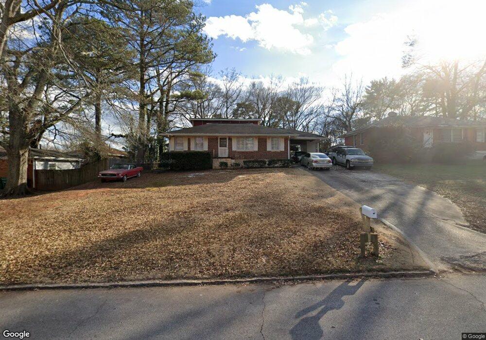
2127 East Dr Decatur, GA 30032
Parker NeighborhoodEstimated Value: $287,732 - $363,000
3
Beds
2
Baths
1,918
Sq Ft
$176/Sq Ft
Est. Value
About This Home
This home is located at 2127 East Dr, Decatur, GA 30032 and is currently estimated at $337,683, approximately $176 per square foot. 2127 East Dr is a home located in DeKalb County with nearby schools including McNair Middle School, McNair High School, and Charles Drew Charter School.
Ownership History
Date
Name
Owned For
Owner Type
Purchase Details
Closed on
Aug 2, 2010
Sold by
Harrish Isaac I and Harrish Mamie
Bought by
Harrish Mamie L and Harrish Isaac I
Current Estimated Value
Home Financials for this Owner
Home Financials are based on the most recent Mortgage that was taken out on this home.
Original Mortgage
$157,500
Outstanding Balance
$104,491
Interest Rate
4.61%
Mortgage Type
FHA
Estimated Equity
$233,192
Create a Home Valuation Report for This Property
The Home Valuation Report is an in-depth analysis detailing your home's value as well as a comparison with similar homes in the area
Home Values in the Area
Average Home Value in this Area
Purchase History
| Date | Buyer | Sale Price | Title Company |
|---|---|---|---|
| Harrish Mamie L | -- | -- |
Source: Public Records
Mortgage History
| Date | Status | Borrower | Loan Amount |
|---|---|---|---|
| Open | Harrish Mamie L | $157,500 |
Source: Public Records
Tax History Compared to Growth
Tax History
| Year | Tax Paid | Tax Assessment Tax Assessment Total Assessment is a certain percentage of the fair market value that is determined by local assessors to be the total taxable value of land and additions on the property. | Land | Improvement |
|---|---|---|---|---|
| 2024 | $2,955 | $114,280 | $32,880 | $81,400 |
| 2023 | $2,955 | $103,400 | $32,400 | $71,000 |
| 2022 | $2,203 | $84,840 | $4,720 | $80,120 |
| 2021 | $2,000 | $76,040 | $4,720 | $71,320 |
| 2020 | $1,525 | $55,440 | $4,720 | $50,720 |
| 2019 | $925 | $36,880 | $4,720 | $32,160 |
| 2018 | $526 | $30,160 | $4,720 | $25,440 |
| 2017 | $949 | $36,680 | $2,400 | $34,280 |
| 2016 | $383 | $17,640 | $2,400 | $15,240 |
| 2014 | $399 | $19,600 | $2,400 | $17,200 |
Source: Public Records
Map
Nearby Homes
- 2327 Scotty Cir
- 2294 Mark Trail
- 2308 Mark Trail
- 2270 Mark Trail
- 2117 Samuel Place
- 2243 Mark Trail
- 2133 Trailwood Rd
- 2066 Tilson Rd
- 2167 Tilson Rd
- 2146 Trailwood Rd
- 2025 East Dr
- 2334 Second Ave Unit LAND
- 2237 Tilson Cir
- 2030 Mark Trail
- 2428 Parkland Dr
- 2303 Pinewood Dr
- 2439 Parkland Dr
- 2128 Mark Trail
- 2203 Second Ave