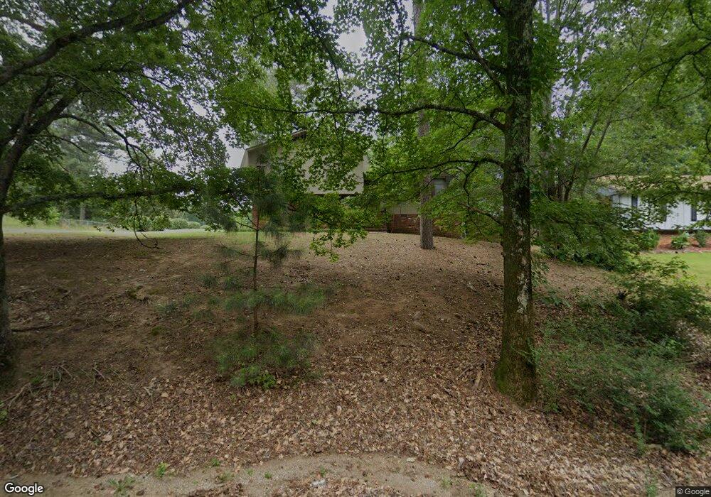
2127 Pershing Rd Birmingham, AL 35214
Estimated Value: $129,000 - $174,000
3
Beds
2
Baths
1,203
Sq Ft
$128/Sq Ft
Est. Value
About This Home
This home is located at 2127 Pershing Rd, Birmingham, AL 35214 and is currently estimated at $154,258, approximately $128 per square foot. 2127 Pershing Rd is a home located in Jefferson County with nearby schools including Minor Middle School, Minor High School, and Gloryland Christian Academy.
Ownership History
Date
Name
Owned For
Owner Type
Purchase Details
Closed on
Apr 22, 2016
Sold by
First Properties Llc
Bought by
Chatman Tawanda A
Current Estimated Value
Home Financials for this Owner
Home Financials are based on the most recent Mortgage that was taken out on this home.
Original Mortgage
$70,000
Outstanding Balance
$55,213
Interest Rate
3.71%
Mortgage Type
New Conventional
Estimated Equity
$99,045
Purchase Details
Closed on
Oct 31, 2003
Sold by
Green Sheila Wakefield and Green Charles A
Bought by
Jones Stanley
Home Financials for this Owner
Home Financials are based on the most recent Mortgage that was taken out on this home.
Original Mortgage
$91,800
Interest Rate
8.37%
Mortgage Type
Purchase Money Mortgage
Purchase Details
Closed on
Apr 1, 1998
Sold by
Wakefield Warren Stanley
Bought by
Green Sheila
Create a Home Valuation Report for This Property
The Home Valuation Report is an in-depth analysis detailing your home's value as well as a comparison with similar homes in the area
Home Values in the Area
Average Home Value in this Area
Purchase History
| Date | Buyer | Sale Price | Title Company |
|---|---|---|---|
| Chatman Tawanda A | $70,000 | -- | |
| Jones Stanley | $102,000 | -- | |
| Green Sheila | -- | Jefferson Title Corporation |
Source: Public Records
Mortgage History
| Date | Status | Borrower | Loan Amount |
|---|---|---|---|
| Open | Chatman Tawanda A | $70,000 | |
| Previous Owner | Jones Stanley | $91,800 |
Source: Public Records
Tax History
| Year | Tax Paid | Tax Assessment Tax Assessment Total Assessment is a certain percentage of the fair market value that is determined by local assessors to be the total taxable value of land and additions on the property. | Land | Improvement |
|---|---|---|---|---|
| 2025 | $590 | $12,840 | -- | -- |
| 2024 | $590 | $12,840 | -- | -- |
| 2023 | $321 | $12,840 | $2,682 | $10,158 |
| 2022 | $449 | $10,010 | $2,680 | $7,330 |
| 2021 | $449 | $10,010 | $2,680 | $7,330 |
| 2020 | $449 | $10,010 | $2,680 | $7,330 |
| 2019 | $449 | $10,020 | $0 | $0 |
| 2018 | $448 | $10,000 | $0 | $0 |
| 2017 | $448 | $10,000 | $0 | $0 |
| 2016 | $1,001 | $19,980 | $0 | $0 |
| 2015 | $1,001 | $19,980 | $0 | $0 |
| 2014 | $1,108 | $19,720 | $0 | $0 |
| 2013 | $1,108 | $19,720 | $0 | $0 |
Source: Public Records
Map
Nearby Homes
- 2361 Pershing Place Loop
- 2352 Pershing Place Loop
- 2036 Pershing Rd
- 2150 & 2140 Veterans Memorial Dr
- 460 Roseta Dr
- 2349 Pershing Rd
- 2345 Pershing Rd
- 2341 Pershing Rd
- 2151 Veterans Memorial Dr
- 228 Gober Dr
- 2532 Forestdale Blvd
- 409 Foust Ct
- 106 Merrywood Cir
- 2176 Maywood Dr
- 2108 Maywood Dr
- 1900 Hanchey Rd
- 539 Crumly Chapel Rd
- 525 Crumley Chapel Rd
- 71 Swindle Dr
- 1744 Pratt Hwy
- 2121 Pershing Rd
- 2133 Pershing Rd
- 445 Laurie Dr
- 2115 Pershing Rd
- 448 Laurie Dr
- 2120 Tall Oak Cir
- 444 Laurie Dr
- 2116 Tall Oak Cir
- 2116 Tall Oak Cir Unit 1
- 2109 Pershing Rd
- 2110 Pershing Rd
- 2205 Pershing Rd
- 2121 Tall Oak Cir
- 440 Laurie Dr
- 2112 Tall Oak Cir
- 2117 Tall Oak Cir
- 444 Paula Dr
- 431 Laurie Dr
- 431 Laurie Dr Unit 1
- 436 Paula Dr
Your Personal Tour Guide
Ask me questions while you tour the home.