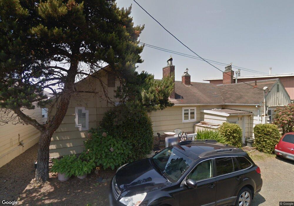
2127 SW Coast Ave Lincoln City, OR 97367
Estimated Value: $897,000 - $1,340,000
6
Beds
10
Baths
3,452
Sq Ft
$332/Sq Ft
Est. Value
About This Home
This home is located at 2127 SW Coast Ave, Lincoln City, OR 97367 and is currently estimated at $1,145,667, approximately $331 per square foot. 2127 SW Coast Ave is a home located in Lincoln County with nearby schools including Taft Elementary School, Oceanlake Elementary School, and Taft High School.
Ownership History
Date
Name
Owned For
Owner Type
Purchase Details
Closed on
Mar 1, 2024
Sold by
Gurrola Augie and Gurrola Barbara
Bought by
Gurrola Family Trust and Gurrola
Current Estimated Value
Home Financials for this Owner
Home Financials are based on the most recent Mortgage that was taken out on this home.
Original Mortgage
$427,500
Outstanding Balance
$362,698
Interest Rate
6.63%
Mortgage Type
Construction
Estimated Equity
$782,969
Purchase Details
Closed on
Nov 26, 2023
Sold by
Smith Carol A
Bought by
Burington Donald A and Burington Bonnie L
Create a Home Valuation Report for This Property
The Home Valuation Report is an in-depth analysis detailing your home's value as well as a comparison with similar homes in the area
Home Values in the Area
Average Home Value in this Area
Purchase History
| Date | Buyer | Sale Price | Title Company |
|---|---|---|---|
| Gurrola Family Trust | -- | None Listed On Document | |
| Burington Donald A | -- | None Listed On Document |
Source: Public Records
Mortgage History
| Date | Status | Borrower | Loan Amount |
|---|---|---|---|
| Open | Gurrola Family Trust | $427,500 |
Source: Public Records
Tax History Compared to Growth
Tax History
| Year | Tax Paid | Tax Assessment Tax Assessment Total Assessment is a certain percentage of the fair market value that is determined by local assessors to be the total taxable value of land and additions on the property. | Land | Improvement |
|---|---|---|---|---|
| 2024 | $8,066 | $473,120 | -- | -- |
| 2023 | $7,844 | $459,340 | $0 | $0 |
| 2022 | $7,625 | $445,970 | $0 | $0 |
| 2021 | $7,264 | $432,990 | $0 | $0 |
| 2020 | $7,097 | $420,380 | $0 | $0 |
| 2019 | $6,855 | $408,140 | $0 | $0 |
| 2018 | $6,701 | $396,260 | $0 | $0 |
| 2017 | $6,413 | $384,720 | $0 | $0 |
| 2016 | $6,015 | $373,520 | $0 | $0 |
| 2015 | $5,880 | $362,650 | $0 | $0 |
| 2014 | $5,731 | $352,090 | $0 | $0 |
| 2013 | -- | $341,840 | $0 | $0 |
Source: Public Records
Map
Nearby Homes
- 2209 SW Coast Ave
- 2223 SW Coast Ave
- 1933 SW Coast Ave Unit 1
- 2325 SW Bard Loop
- 1815 SW Coast Ave
- 2518 SW Anemone Ave
- 2539 SW Coral Loop
- 2586 SW Anemone Ave
- 2591 SW Barnacle Ave
- 2513 SW Dune Ave
- 611 SW 27th Way
- 1966 SW Galley Ct
- 2685 SW Beach Ave
- 2672 SW Anchor Ave
- 2273 SW Hwy 101
- 2746 SW Barnacle Ave
- 2764 SW Anchor Ave
- 2729 SW Coast Ave
- 2133 SW Coast Ave
- 2103 SW Coast Ave
- 2143 SW Coast Ave Unit 2
- 2143 Coast S Ave W
- 2035 SW Coast Ave
- 2040 SW Coast Ave
- 2110 SW Coast Ave
- 2207 SW Coast Ave Unit NORTH
- 2207 SW Coast Ave Unit North Unit
- 2207 SW Coast Ave
- 2025 SW Coast Ave
- 2030 SW Coast Ave
- 2180 SW Coast Ave
- 2209 SW Coast Ave Unit SOUTH
- 2209 SW Coast Ave Unit South Unit
- 2209 SW Coast Ave Unit 1
- 2000 SW Coast # Blk Ave
- 2020 SW Coast Ave
- 2223 & 2221 SW Coast Ave
- 2015 SW Coast Ave