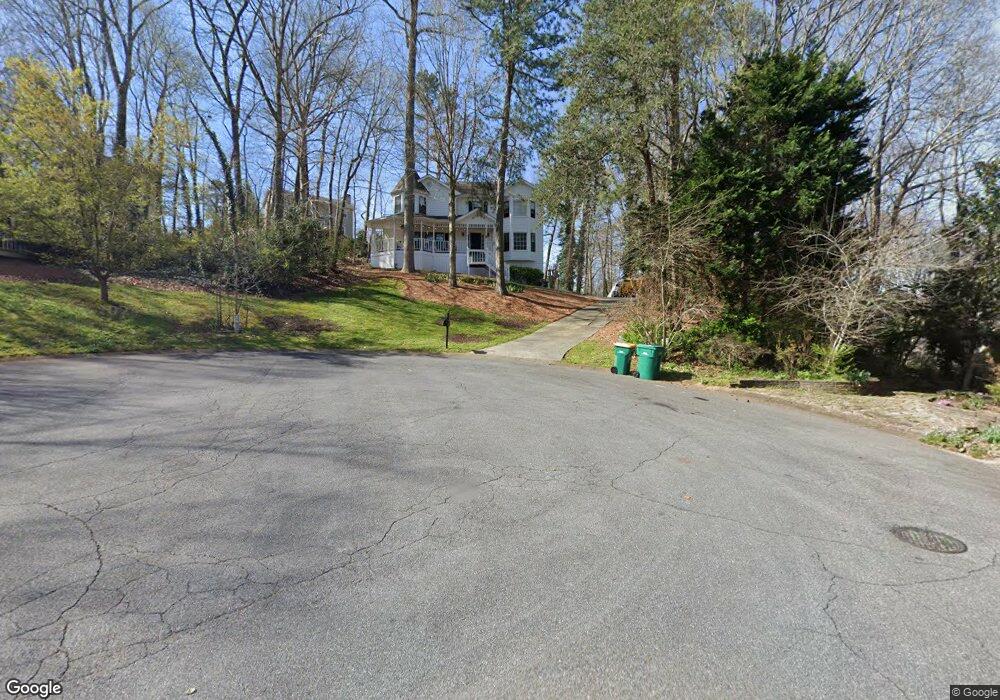
2127 Yorkshire Ct Unit 3 Woodstock, GA 30189
Estimated Value: $423,160 - $424,000
4
Beds
3
Baths
2,140
Sq Ft
$198/Sq Ft
Est. Value
About This Home
This home is located at 2127 Yorkshire Ct Unit 3, Woodstock, GA 30189 and is currently estimated at $423,580, approximately $197 per square foot. 2127 Yorkshire Ct Unit 3 is a home located in Cherokee County with nearby schools including Blackwell Elementary School, McCleskey Middle School, and Kell High School.
Ownership History
Date
Name
Owned For
Owner Type
Purchase Details
Closed on
Apr 24, 1998
Sold by
Dayton Glenn R
Bought by
Ottosen Charles T and Ottosen Michelle R
Current Estimated Value
Home Financials for this Owner
Home Financials are based on the most recent Mortgage that was taken out on this home.
Original Mortgage
$140,550
Outstanding Balance
$25,894
Interest Rate
7.1%
Estimated Equity
$397,686
Create a Home Valuation Report for This Property
The Home Valuation Report is an in-depth analysis detailing your home's value as well as a comparison with similar homes in the area
Home Values in the Area
Average Home Value in this Area
Purchase History
| Date | Buyer | Sale Price | Title Company |
|---|---|---|---|
| Ottosen Charles T | $144,900 | -- |
Source: Public Records
Mortgage History
| Date | Status | Borrower | Loan Amount |
|---|---|---|---|
| Open | Ottosen Charles T | $140,550 |
Source: Public Records
Tax History Compared to Growth
Tax History
| Year | Tax Paid | Tax Assessment Tax Assessment Total Assessment is a certain percentage of the fair market value that is determined by local assessors to be the total taxable value of land and additions on the property. | Land | Improvement |
|---|---|---|---|---|
| 2025 | $3,908 | $148,820 | $36,000 | $112,820 |
| 2024 | $3,779 | $145,420 | $32,000 | $113,420 |
| 2023 | $3,503 | $134,780 | $32,000 | $102,780 |
| 2022 | $2,967 | $112,900 | $24,000 | $88,900 |
| 2021 | $2,584 | $91,020 | $16,800 | $74,220 |
| 2020 | $2,542 | $89,460 | $16,800 | $72,660 |
| 2019 | $2,426 | $85,360 | $16,800 | $68,560 |
| 2018 | $2,327 | $81,400 | $16,800 | $64,600 |
| 2017 | $2,208 | $191,600 | $16,800 | $59,840 |
| 2016 | $2,004 | $172,100 | $14,400 | $54,440 |
| 2015 | $1,946 | $165,500 | $14,400 | $51,800 |
| 2014 | $1,851 | $157,100 | $14,000 | $48,840 |
Source: Public Records
Map
Nearby Homes
- 1816 Yorkshire Dr
- 2108 Yorkshire Ct
- 4926 Shallow Ridge Rd NE
- 1502 Lake Koinonia Dr
- 5096 Shalloway Ct NE Unit 1
- 221 Ellis Ln
- 414 Delancy Dr
- 4978 Thornwood Cove NW
- 150 Holden Way
- 101 Holden Way
- 4961 Thornwood Trace NW
- 163 Castleair Ct NE
- 30 Shallowford Rd NE
- 350 Hayden Cir
- 356 Hayden Cir
- 354 Hayden Cir
- 360 Hayden Cir
- 319 Hayden Cir
- 374 Lanier Cir
- 370 Lanier Cir
- 4988 Shallow Ridge Rd NE
- 4990 Shallow Ridge Rd NE
- 2128 Yorkshire Ct
- 2125 Yorkshire Ct
- 4986 Shallow Ridge Rd NE
- 4984 Shallow Ridge Rd NE
- 4984 Shallow Ridge Rd NE Unit 163
- 4987 Shallow Ridge Rd NE
- 2126 Yorkshire Ct Unit III
- 2123 Yorkshire Ct
- 4985 Shallow Ridge Rd NE
- 4982 Shallow Ridge Rd NE
- 4982 Shallow Ridge Rd NE
- 4989 Shallow Ridge Rd NE
- 4983 Shallow Ridge Rd NE
- 4996 Shallow Ridge Rd NE
- 4991 Shallow Ridge Rd NE Unit 2
- 2124 Yorkshire Ct
- 4981 Shallow Ridge Rd NE
- 2121 Yorkshire Ct