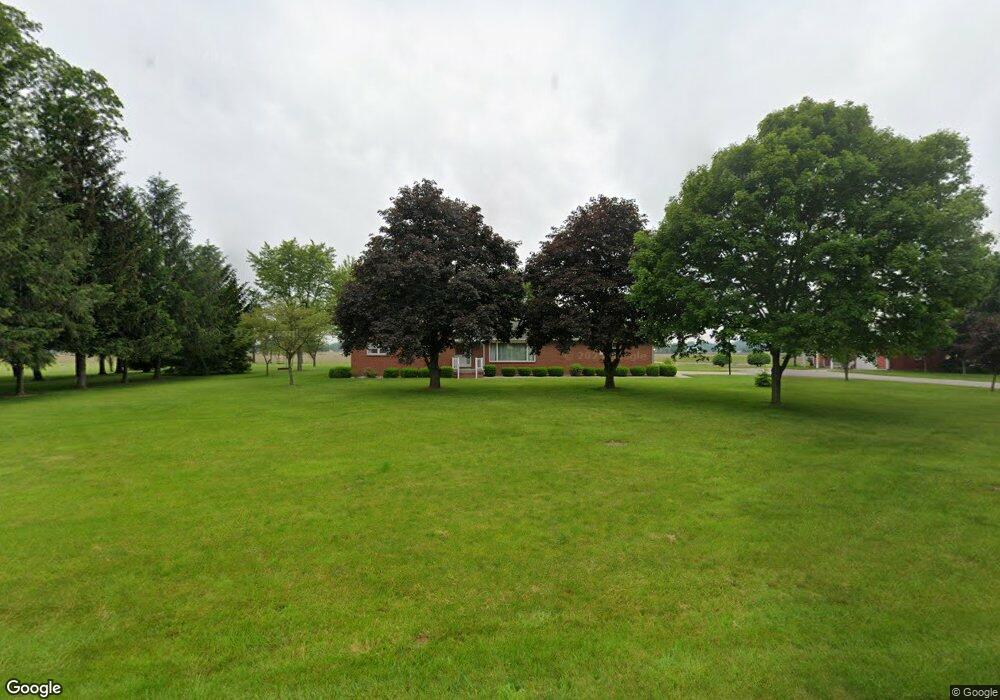
21270 Road 22 Fort Jennings, OH 45844
Estimated Value: $292,126 - $356,000
3
Beds
2
Baths
1,938
Sq Ft
$173/Sq Ft
Est. Value
About This Home
This home is located at 21270 Road 22, Fort Jennings, OH 45844 and is currently estimated at $335,532, approximately $173 per square foot. 21270 Road 22 is a home located in Putnam County with nearby schools including Fort Jennings Elementary School and Fort Jennings High School.
Ownership History
Date
Name
Owned For
Owner Type
Purchase Details
Closed on
Oct 10, 2025
Sold by
Bugnjugz Llc
Bought by
Menke Joshua T and Menke Kristina S
Current Estimated Value
Home Financials for this Owner
Home Financials are based on the most recent Mortgage that was taken out on this home.
Original Mortgage
$360,000
Outstanding Balance
$360,000
Interest Rate
6.5%
Mortgage Type
New Conventional
Estimated Equity
-$24,468
Purchase Details
Closed on
Jan 11, 2011
Sold by
Bugnjugz Llc
Bought by
Mesker Joseph F and Mesker Shirley R
Create a Home Valuation Report for This Property
The Home Valuation Report is an in-depth analysis detailing your home's value as well as a comparison with similar homes in the area
Home Values in the Area
Average Home Value in this Area
Purchase History
| Date | Buyer | Sale Price | Title Company |
|---|---|---|---|
| Menke Joshua T | $333,750 | None Listed On Document | |
| Mesker Joseph F | -- | None Available | |
| Bugnjugz Llc | $175,000 | None Available |
Source: Public Records
Mortgage History
| Date | Status | Borrower | Loan Amount |
|---|---|---|---|
| Open | Menke Joshua T | $360,000 |
Source: Public Records
Tax History Compared to Growth
Tax History
| Year | Tax Paid | Tax Assessment Tax Assessment Total Assessment is a certain percentage of the fair market value that is determined by local assessors to be the total taxable value of land and additions on the property. | Land | Improvement |
|---|---|---|---|---|
| 2024 | $2,447 | $83,420 | $8,300 | $75,120 |
| 2023 | $2,535 | $66,400 | $6,110 | $60,290 |
| 2022 | $2,218 | $66,402 | $6,111 | $60,291 |
| 2021 | $2,231 | $66,400 | $6,110 | $60,290 |
| 2020 | $2,239 | $52,090 | $5,260 | $46,830 |
| 2019 | $1,923 | $57,630 | $6,110 | $51,520 |
| 2018 | $1,896 | $57,630 | $6,110 | $51,520 |
| 2017 | $1,996 | $57,630 | $6,110 | $51,520 |
| 2016 | $1,765 | $52,090 | $5,260 | $46,830 |
| 2015 | $1,939 | $52,090 | $5,260 | $46,830 |
| 2014 | $1,962 | $52,090 | $5,260 | $46,830 |
| 2013 | $2,003 | $52,090 | $5,260 | $46,830 |
Source: Public Records
Map
Nearby Homes
- 1220 Rose Anna Dr
- 1303 Carolyn Dr
- 7110 Elida Rd
- 914 E 3rd St
- 650 E 6th St
- 903 E 3rd St
- 821 E 3rd St
- 6585 Huffer Rd
- 628 N Pierce St
- 810 N Franklin St
- 633 E 2nd St
- 704 N Franklin St
- 610 N Washington St
- 405 N Franklin St
- 210 E 3rd St
- 221 S Main St
- 503 W 6th St
- 604 W 6th St
- 508 S Washington St
- 616 W 5th St