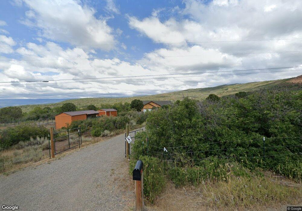
21275 Surface Creek Rd Cedaredge, CO 81413
Estimated Value: $622,677 - $821,000
3
Beds
3
Baths
2,532
Sq Ft
$279/Sq Ft
Est. Value
About This Home
This home is located at 21275 Surface Creek Rd, Cedaredge, CO 81413 and is currently estimated at $705,169, approximately $278 per square foot. 21275 Surface Creek Rd is a home located in Delta County with nearby schools including Cedaredge Elementary School, Cedaredge Middle School, and Cedaredge High School.
Ownership History
Date
Name
Owned For
Owner Type
Purchase Details
Closed on
Aug 2, 2020
Sold by
Barbara J Holman Trust
Bought by
Foster Thomas Craig and Foster Karen Eve
Current Estimated Value
Purchase Details
Closed on
Sep 10, 2014
Sold by
Barbara J Holman Revocable Trust
Bought by
Barbara J Holman Trust
Purchase Details
Closed on
Jul 18, 2008
Sold by
Becker Myron E
Bought by
Babara J Holman Revocable Trust and Gerald E Holman Revocable Trust
Purchase Details
Closed on
Jul 5, 2002
Sold by
Houser Ashley H
Bought by
Holman Barbara J Trust
Create a Home Valuation Report for This Property
The Home Valuation Report is an in-depth analysis detailing your home's value as well as a comparison with similar homes in the area
Home Values in the Area
Average Home Value in this Area
Purchase History
| Date | Buyer | Sale Price | Title Company |
|---|---|---|---|
| Foster Thomas Craig | $435,000 | None Available | |
| Barbara J Holman Trust | -- | None Available | |
| Babara J Holman Revocable Trust | $450,000 | None Available | |
| Holman Barbara J Trust | $73,000 | -- |
Source: Public Records
Tax History Compared to Growth
Tax History
| Year | Tax Paid | Tax Assessment Tax Assessment Total Assessment is a certain percentage of the fair market value that is determined by local assessors to be the total taxable value of land and additions on the property. | Land | Improvement |
|---|---|---|---|---|
| 2024 | $2,143 | $34,664 | $5,148 | $29,516 |
| 2023 | $2,143 | $34,664 | $5,148 | $29,516 |
| 2022 | $1,861 | $30,973 | $5,908 | $25,065 |
| 2021 | $1,867 | $31,864 | $6,078 | $25,786 |
| 2020 | $1,506 | $25,312 | $6,078 | $19,234 |
| 2019 | $1,504 | $25,213 | $6,078 | $19,135 |
| 2018 | $1,325 | $21,378 | $4,464 | $16,914 |
| 2017 | $1,325 | $21,378 | $4,464 | $16,914 |
| 2016 | $1,391 | $24,641 | $7,562 | $17,079 |
| 2014 | -- | $23,863 | $6,368 | $17,495 |
Source: Public Records
Map
Nearby Homes
- 25615 Starner Loop Rd
- Lot 2 Surface Creek Rd
- 25859 Horse Creek Dr
- 24119 Ute Trail Rd
- 24593 Timothy Rd
- 20246 2375 Rd
- 24500 Timothy Rd
- 19102 Surface Creek Rd
- TBD SE 3rd Lot 5 Will-O-way Subdivision St
- 22876 Thunder Mountain Ln
- Unit 13 W Elk Dr
- 21578 Hwy 65
- 21578 Colorado 65
- 18076 Hanson Rd
- 18358 Surface Creek Rd
- 18865 Northridge Rd
- 18200 Surface Creek Rd
- 21932 2225 Rd
- 23041 T Rd
- 23045 T Rd
- 0 Vail Rd Unit 749029
- 0 Vail Rd Unit 748758
- 0 Vail Rd Unit 741876
- 0 Vail Rd Unit 737417
- 0 Vail Rd Unit 611941
- 0 Vail Rd Unit 612119
- 0 Vail Rd Unit 613487
- 0 Vail Rd Unit 623940
- 0 Vail Rd Unit 643818
- 0 Vail Rd Unit 644317
- 0 Vail Rd Unit 654744
- 0 Vail Rd Unit 654743
- 0 Vail Rd Unit 660299
- 0 Vail Rd Unit 660302
- 0 Vail Rd Unit 660301
- 0 Vail Rd Unit 684129
- 0 Vail Rd Unit 697357
- 0 Vail Rd Unit 730808
- 0 Vail Rd Unit 730804
- 0 Vail Rd Unit 730797