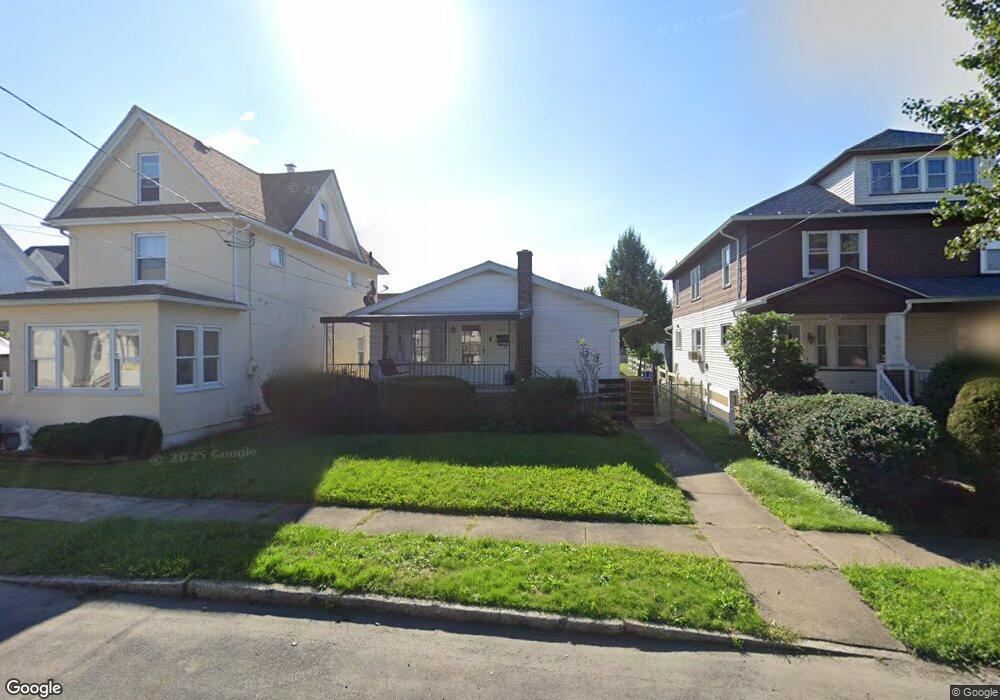
2128 Brown Ave Scranton, PA 18509
Providence NeighborhoodEstimated Value: $145,676 - $209,000
Studio
--
Bath
--
Sq Ft
5,184
Sq Ft Lot
About This Home
This home is located at 2128 Brown Ave, Scranton, PA 18509 and is currently estimated at $179,169. 2128 Brown Ave is a home located in Lackawanna County with nearby schools including Robert Morris #27, Northeast Scranton Intermediate School, and Scranton High School.
Ownership History
Date
Name
Owned For
Owner Type
Purchase Details
Closed on
Sep 21, 2018
Sold by
Sternosky Walter and Sternosky Romayne
Bought by
Slavinski Steven
Current Estimated Value
Home Financials for this Owner
Home Financials are based on the most recent Mortgage that was taken out on this home.
Original Mortgage
$56,000
Outstanding Balance
$34,483
Interest Rate
4.5%
Mortgage Type
New Conventional
Estimated Equity
$144,686
Purchase Details
Closed on
Aug 24, 2001
Bought by
Sternosky Walter J and Sternosky Romayne
Create a Home Valuation Report for This Property
The Home Valuation Report is an in-depth analysis detailing your home's value as well as a comparison with similar homes in the area
Home Values in the Area
Average Home Value in this Area
Purchase History
| Date | Buyer | Sale Price | Title Company |
|---|---|---|---|
| Slavinski Steven | $70,000 | None Available | |
| Sternosky Walter J | -- | -- |
Source: Public Records
Mortgage History
| Date | Status | Borrower | Loan Amount |
|---|---|---|---|
| Open | Slavinski Steven | $56,000 |
Source: Public Records
Tax History
| Year | Tax Paid | Tax Assessment Tax Assessment Total Assessment is a certain percentage of the fair market value that is determined by local assessors to be the total taxable value of land and additions on the property. | Land | Improvement |
|---|---|---|---|---|
| 2025 | $3,209 | $10,000 | $1,550 | $8,450 |
| 2024 | $2,932 | $10,000 | $1,550 | $8,450 |
| 2023 | $2,932 | $10,000 | $1,550 | $8,450 |
| 2022 | $2,868 | $10,000 | $1,550 | $8,450 |
| 2021 | $2,868 | $10,000 | $1,550 | $8,450 |
| 2020 | $2,814 | $10,000 | $1,550 | $8,450 |
| 2019 | $2,647 | $10,000 | $1,550 | $8,450 |
| 2018 | $2,647 | $10,000 | $1,550 | $8,450 |
| 2017 | $2,600 | $10,000 | $1,550 | $8,450 |
| 2016 | $788 | $10,000 | $1,550 | $8,450 |
| 2015 | $1,949 | $10,000 | $1,550 | $8,450 |
| 2014 | -- | $10,000 | $1,550 | $8,450 |
Source: Public Records
Map
Nearby Homes
- 2106 Boulevard Ave
- 1909 Boulevard Ave
- 2402 N Main Ave
- 2141 N Main Ave
- 2089 N Main Ave
- 63-65 E Parker St
- 902 Columbia St
- 1015 Grandview St
- 1810 Capouse Ave
- 1747 Monsey Ave
- 1027 1029 Woodlawn St
- 131 Throop St
- 2105 Belmont Terrace
- 193 W Parker St
- 614 Delaware St
- 1732 Capouse Ave
- 2706 N Main Ave
- 1118 Columbia St
- 2717 N Main Ave
- 2009-2011 Margaret Ave
- 2126 Brown Ave
- 2124 Brown Ave
- 2130 Brown Ave
- 2122 Brown Ave
- 2121 Brown Ave
- 506 Depot St
- 502 Depot St
- 510 Depot St
- 514 Depot St
- 518 Depot St
- 522 Depot St
- 2129 Comegys Ave Unit L11
- 2125 Comegys Ave
- 2116 Brown Ave
- 2123 Comegys Ave
- 428 Depot St
- 2131 Brown Ave
- 526 Depot St
- 2129 Brown Ave
- 2129 Brown Ave Unit L-bryn
Your Personal Tour Guide
Ask me questions while you tour the home.