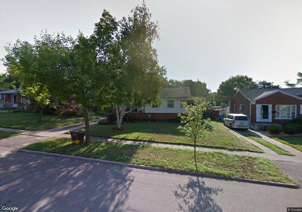
2128 Dillingham Ave Lansing, MI 48906
Northwestside NeighborhoodEstimated Value: $132,717 - $190,000
Studio
--
Bath
1,008
Sq Ft
$173/Sq Ft
Est. Value
About This Home
This home is located at 2128 Dillingham Ave, Lansing, MI 48906 and is currently estimated at $174,679, approximately $173 per square foot. 2128 Dillingham Ave is a home located in Ingham County with nearby schools including Cumberland Elementary School, Pattengill Academy, and J.W. Sexton High School.
Ownership History
Date
Name
Owned For
Owner Type
Purchase Details
Closed on
Oct 12, 2001
Sold by
Skinner Lorrie J
Bought by
Skinner Sherry L
Current Estimated Value
Home Financials for this Owner
Home Financials are based on the most recent Mortgage that was taken out on this home.
Original Mortgage
$71,000
Outstanding Balance
$27,772
Interest Rate
6.88%
Estimated Equity
$146,907
Purchase Details
Closed on
Nov 8, 1996
Sold by
Fink Philp and Fink Janice
Bought by
Skinner Lorrie
Create a Home Valuation Report for This Property
The Home Valuation Report is an in-depth analysis detailing your home's value as well as a comparison with similar homes in the area
Home Values in the Area
Average Home Value in this Area
Purchase History
| Date | Buyer | Sale Price | Title Company |
|---|---|---|---|
| Skinner Sherry L | $79,000 | -- | |
| Skinner Lorrie | $65,000 | -- |
Source: Public Records
Mortgage History
| Date | Status | Borrower | Loan Amount |
|---|---|---|---|
| Open | Skinner Sherry L | $71,000 |
Source: Public Records
Tax History
| Year | Tax Paid | Tax Assessment Tax Assessment Total Assessment is a certain percentage of the fair market value that is determined by local assessors to be the total taxable value of land and additions on the property. | Land | Improvement |
|---|---|---|---|---|
| 2025 | $2,762 | $61,700 | $9,800 | $51,900 |
| 2024 | $22 | $58,600 | $9,800 | $48,800 |
| 2023 | $2,590 | $51,800 | $9,800 | $42,000 |
| 2022 | $2,336 | $51,000 | $9,200 | $41,800 |
| 2021 | $2,287 | $47,900 | $7,600 | $40,300 |
| 2020 | $2,273 | $45,100 | $7,600 | $37,500 |
| 2019 | $2,179 | $39,200 | $7,600 | $31,600 |
| 2018 | $2,042 | $37,000 | $7,600 | $29,400 |
| 2017 | $1,955 | $37,000 | $7,600 | $29,400 |
| 2016 | $1,871 | $33,900 | $7,600 | $26,300 |
| 2015 | $1,871 | $33,500 | $15,250 | $18,250 |
| 2014 | $1,871 | $33,000 | $18,300 | $14,700 |
Source: Public Records
Map
Nearby Homes
- 2800 Tecumseh River Rd
- 2302 Northwest Ave
- 3116 Colchester Rd
- 2300 Byrnes Rd
- 2313 Kuerbitz Dr
- 2111 Delta River Dr
- 3336 Tecumseh River Rd
- 4005 N Grand River Ave
- 2601 Newport Dr
- 4221 N Grand River Ave
- 3500 Colchester Rd
- 3017 Alfred Ave
- 2817 W Willow St
- 3021 N Grand River Ave
- 1805 Boynton Dr
- 1425 Muskegon Ave
- 3733 Colchester Rd
- 3230 Sheffer Ave
- 1115 Boynton Dr
- 1421 Lamont St
- 2122 Dillingham Ave
- 2121 Barstow Rd
- 2203 Barstow Rd
- 2208 Dillingham Ave
- 2118 Dillingham Ave
- 2115 Barstow Rd
- 2131 Dillingham Ave
- 2127 Dillingham Ave
- 2205 Dillingham Ave
- 2107 Barstow Rd
- 2112 Dillingham Ave
- 2214 Dillingham Ave
- 2121 Dillingham Ave
- 2215 Barstow Rd
- 2209 Dillingham Ave
- 2115 Dillingham Ave
- 2220 Dillingham Ave
- 2215 Dillingham Ave
- 2104 Dillingham Ave
- 2122 Barstow Rd
Your Personal Tour Guide
Ask me questions while you tour the home.