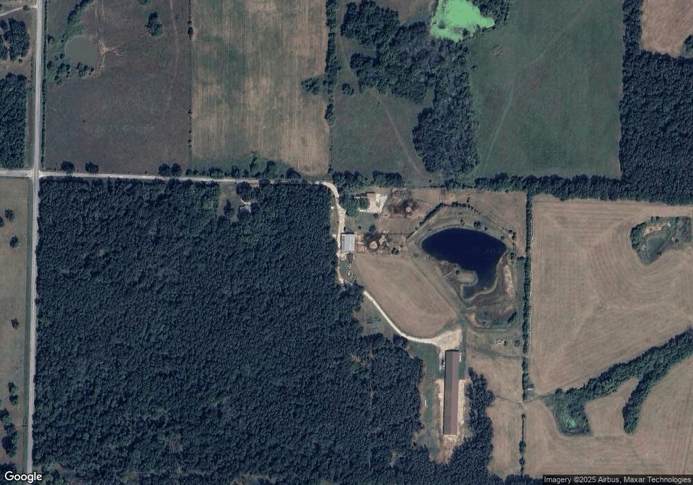
2128 E 415th Rd Half Way, MO 65663
Estimated Value: $448,000 - $1,054,356
4
Beds
3
Baths
2,218
Sq Ft
$339/Sq Ft
Est. Value
About This Home
This home is located at 2128 E 415th Rd, Half Way, MO 65663 and is currently estimated at $751,178, approximately $338 per square foot. 2128 E 415th Rd is a home with nearby schools including Halfway Elementary and Halfway High School.
Ownership History
Date
Name
Owned For
Owner Type
Purchase Details
Closed on
Jun 18, 2025
Sold by
Gladden Kevin N and Gladden Chelsea
Bought by
Eigsti Joseph and Eigsti Lydia
Current Estimated Value
Home Financials for this Owner
Home Financials are based on the most recent Mortgage that was taken out on this home.
Original Mortgage
$376,845
Outstanding Balance
$374,850
Interest Rate
6.76%
Mortgage Type
Credit Line Revolving
Estimated Equity
$376,328
Purchase Details
Closed on
Apr 20, 2021
Sold by
Eigsti Joel O and Eigsti Sonya
Bought by
Eigsti Joseph and Eigsti Lydia
Home Financials for this Owner
Home Financials are based on the most recent Mortgage that was taken out on this home.
Original Mortgage
$919,273
Interest Rate
2.38%
Mortgage Type
New Conventional
Purchase Details
Closed on
Oct 30, 2015
Sold by
Gaylord Hostetler and Gaylord Katie
Bought by
Eigsti Joel O and Eigsti Sonya
Create a Home Valuation Report for This Property
The Home Valuation Report is an in-depth analysis detailing your home's value as well as a comparison with similar homes in the area
Purchase History
| Date | Buyer | Sale Price | Title Company |
|---|---|---|---|
| Eigsti Joseph | -- | Hickory County Title | |
| Eigsti Joseph | -- | None Listed On Document | |
| Eigsti Joel O | -- | -- |
Source: Public Records
Mortgage History
| Date | Status | Borrower | Loan Amount |
|---|---|---|---|
| Open | Eigsti Joseph | $376,845 | |
| Previous Owner | Eigsti Joseph Dale | $60,000 | |
| Previous Owner | Eigsti Joseph | $919,273 | |
| Closed | Eigsti Joel O | $1,056,000 |
Source: Public Records
Tax History
| Year | Tax Paid | Tax Assessment Tax Assessment Total Assessment is a certain percentage of the fair market value that is determined by local assessors to be the total taxable value of land and additions on the property. | Land | Improvement |
|---|---|---|---|---|
| 2024 | $46 | $86,820 | $0 | $0 |
| 2023 | $3,658 | $73,330 | $0 | $0 |
| 2022 | $3,580 | $71,840 | $0 | $0 |
| 2021 | $3,569 | $71,840 | $0 | $0 |
| 2020 | $3,124 | $60,020 | $0 | $0 |
| 2019 | $3,124 | $60,020 | $0 | $0 |
| 2018 | $3,107 | $58,990 | $0 | $0 |
| 2017 | $3,107 | $58,990 | $0 | $0 |
| 2016 | $3,102 | $58,990 | $0 | $0 |
| 2015 | -- | $16,930 | $0 | $0 |
| 2014 | -- | $16,850 | $0 | $0 |
Source: Public Records
Map
Nearby Homes
- 4318 S 200th Rd
- 3838 S 235th Rd
- 1807 Highway 32
- 71 73 Silver Leaf Rd
- 5487 Boundry Rd
- 000 State Highway C
- 438 State Road C
- 1592 E 431st Rd
- 1060 E 431 Rd
- 258 State Highway 32
- 2280 E 360th Rd
- Lot 5 S 154th Rd
- 3176 S 170th Rd
- 1548 E 380th Rd
- 3820 N Royal Mountain Ln
- 3491 Highway P
- 336 State Highway 32
- 301 S Aspen St
- 103 S Aspen St
- 000 Holly
Your Personal Tour Guide
Ask me questions while you tour the home.