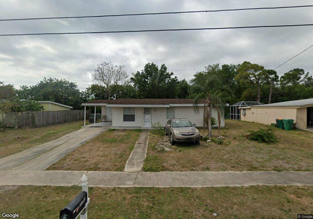
21283 Austin Ave Port Charlotte, FL 33952
Estimated Value: $166,131 - $215,000
3
Beds
2
Baths
1,092
Sq Ft
$174/Sq Ft
Est. Value
About This Home
This home is located at 21283 Austin Ave, Port Charlotte, FL 33952 and is currently estimated at $190,533, approximately $174 per square foot. 21283 Austin Ave is a home located in Charlotte County with nearby schools including Peace River Elementary School, Port Charlotte Middle School, and Port Charlotte High School.
Ownership History
Date
Name
Owned For
Owner Type
Purchase Details
Closed on
Nov 24, 2003
Sold by
Smith Kathy L and Dees Kathy L
Bought by
Didomenico Elizabeth A and Axe Ent
Current Estimated Value
Purchase Details
Closed on
Jan 9, 1996
Sold by
Albee Brenda J and Hyde Marguerite L
Bought by
Dees Kathy L
Home Financials for this Owner
Home Financials are based on the most recent Mortgage that was taken out on this home.
Original Mortgage
$38,000
Interest Rate
7.29%
Create a Home Valuation Report for This Property
The Home Valuation Report is an in-depth analysis detailing your home's value as well as a comparison with similar homes in the area
Home Values in the Area
Average Home Value in this Area
Purchase History
| Date | Buyer | Sale Price | Title Company |
|---|---|---|---|
| Didomenico Elizabeth A | $79,000 | -- | |
| Dees Kathy L | $40,000 | -- |
Source: Public Records
Mortgage History
| Date | Status | Borrower | Loan Amount |
|---|---|---|---|
| Previous Owner | Dees Kathy L | $38,000 |
Source: Public Records
Tax History Compared to Growth
Tax History
| Year | Tax Paid | Tax Assessment Tax Assessment Total Assessment is a certain percentage of the fair market value that is determined by local assessors to be the total taxable value of land and additions on the property. | Land | Improvement |
|---|---|---|---|---|
| 2023 | $1,923 | $60,862 | $0 | $0 |
| 2022 | $1,979 | $96,482 | $11,900 | $84,582 |
| 2021 | $1,746 | $65,433 | $5,610 | $59,823 |
| 2020 | $1,794 | $71,991 | $5,610 | $66,381 |
| 2019 | $1,633 | $64,610 | $5,610 | $59,000 |
| 2018 | $1,469 | $63,373 | $5,610 | $57,763 |
| 2017 | $1,400 | $58,894 | $5,610 | $53,284 |
| 2016 | $1,283 | $46,565 | $0 | $0 |
| 2015 | $1,443 | $56,566 | $0 | $0 |
| 2014 | $1,382 | $53,151 | $0 | $0 |
Source: Public Records
Map
Nearby Homes
- 21275 Austin Ave
- 21274 Coulton Ave
- 21266 Coulton Ave
- 21242 Coulton Ave
- 2395 Harbor Blvd Unit 314
- 2395 Harbor Blvd Unit 310
- 21274 Gladis Ave
- 21227 Gladis Ave
- 21287 Gertrude Ave Unit 211
- 2280 Harbor Blvd
- 21267 Gertrude Ave Unit 114
- 21267 Gertrude Ave Unit 113
- 21267 Gertrude Ave Unit 210
- 21330 Meehan Ave
- 21203 Meehan Ave
- 2437 Harbor Blvd Unit 215
- 2437 Harbor Blvd Unit 210
- 2437 Harbor Blvd Unit 114
- 2437 Harbor Blvd Unit 106
- 2437 Harbor Blvd Unit 204
- 21291 Austin Ave
- 21299 Austin Ave
- 21267 Austin Ave
- 21282 Austin Ave
- 21299 Avenue
- 21282 Coulton Ave
- 21286 Coulton Ave
- 21290 Coulton Ave
- 21290 Austin Ave
- 21274 Austin Ave
- 21298 Austin Ave
- 21298 Coulton Ave
- 21307 Austin Ave
- 21259 Austin Ave
- 21266 Austin Ave
- 21306 Austin Ave
- 21283 Percy Ave
- 21291 Percy Ave
- 21306 Coulton Ave
- 21259 Percy Ave