21283 Pierson Rd West Fork, AR 72774
Estimated Value: $349,527 - $470,000
--
Bed
2
Baths
1,760
Sq Ft
$237/Sq Ft
Est. Value
About This Home
This home is located at 21283 Pierson Rd, West Fork, AR 72774 and is currently estimated at $416,509, approximately $236 per square foot. 21283 Pierson Rd is a home located in Washington County with nearby schools including West Fork Elementary School, West Fork Middle School, and West Fork High School.
Ownership History
Date
Name
Owned For
Owner Type
Purchase Details
Closed on
Aug 18, 1996
Bought by
Parnell Brian D
Current Estimated Value
Purchase Details
Closed on
Jul 30, 1993
Bought by
Johnson Jerry D
Purchase Details
Closed on
Jan 1, 1985
Bought by
Leiterman Robert S
Create a Home Valuation Report for This Property
The Home Valuation Report is an in-depth analysis detailing your home's value as well as a comparison with similar homes in the area
Home Values in the Area
Average Home Value in this Area
Purchase History
| Date | Buyer | Sale Price | Title Company |
|---|---|---|---|
| Parnell Brian D | $45,000 | -- | |
| Johnson Jerry D | $23,000 | -- | |
| Leiterman Robert S | $81,000 | -- |
Source: Public Records
Tax History Compared to Growth
Tax History
| Year | Tax Paid | Tax Assessment Tax Assessment Total Assessment is a certain percentage of the fair market value that is determined by local assessors to be the total taxable value of land and additions on the property. | Land | Improvement |
|---|---|---|---|---|
| 2024 | $744 | $41,110 | $7,010 | $34,100 |
| 2023 | $769 | $41,110 | $7,010 | $34,100 |
| 2022 | $820 | $26,870 | $5,260 | $21,610 |
| 2021 | $772 | $26,870 | $5,260 | $21,610 |
| 2020 | $725 | $26,870 | $5,260 | $21,610 |
| 2019 | $680 | $20,780 | $4,450 | $16,330 |
| 2018 | $692 | $20,780 | $4,450 | $16,330 |
| 2017 | $567 | $20,780 | $4,450 | $16,330 |
| 2016 | $585 | $20,780 | $4,450 | $16,330 |
| 2015 | $547 | $20,780 | $4,450 | $16,330 |
| 2014 | $510 | $17,270 | $2,780 | $14,490 |
Source: Public Records
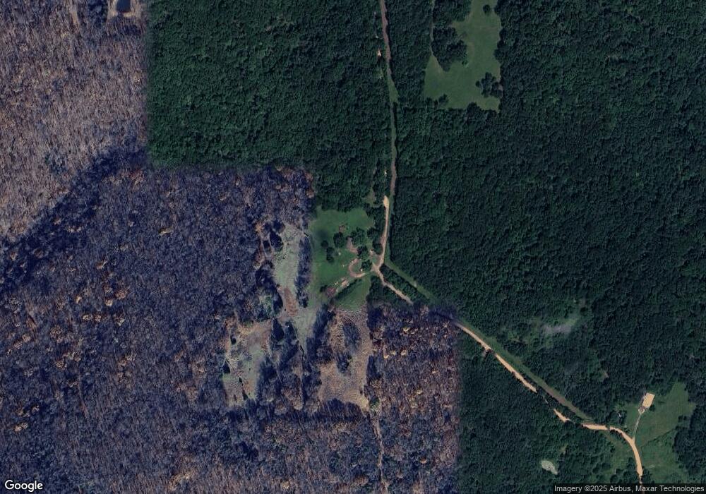
Map
Nearby Homes
- TBD Bug Scuffle Rd
- 19847 Bug Scuffle Rd
- 21035 Carter Rd
- 19055 S Cove Creek Rd
- TBD Strickler (Wc 217) Rd
- TBD Strickler Rd
- 0 Antioch Rd Unit 20312807
- 443 Hall St
- 18544 Bug Scuffle Rd
- 18880 & 18882 Skylight Mountain Rd
- 18995 S Skylight Mountain Rd
- 0 Rd
- TBD Dobbs Mountain Rd
- TBD Zinnamon Church Rd
- 000 Hale Mountain Rd
- 19743 Hale Mountain Rd
- 000 Cr 284 Four Corners
- 16175 Cove Creek N
- 0 Galloway Rd
- 18403 S Highway 170
- 21767 Pierson Rd
- 40 AC Pierson Rd
- 0 Pierson Rd Unit 676284
- 0 Pierson Rd Unit 687754
- 0 Pierson Rd Unit 1070671
- 20988 Pierson Rd
- 20982 Pierson (Wc 276) Rd
- 21398 Pierson Rd
- 21539 Pierson Rd
- 21000 Pierson Rd
- 15 AC NW Pierson Wc 276 Rd
- 21241 S Cove Creek
- 20828 S Cove Creek Wc 285 Rd
- 20967 Cove Creek S
- 21815 Pierson Rd
- 20617 Pierson Rd
- 20828 Cove Creek S
- 15 AC NE Pierson Wc 276 Rd
- TBD Pierson Rd
- 21290 Buckhorn Camp Rd