21285 Robin Ln Pine Grove, CA 95665
Estimated Value: $227,000 - $257,364
About This Home
This home is located at 21285 Robin Ln, Pine Grove, CA 95665 and is currently estimated at $245,341, approximately $269 per square foot. 21285 Robin Ln is a home located in Amador County with nearby schools including Pine Grove Elementary School, Jackson Junior High School, and Argonaut High School.
Ownership History
We collect this data history from publicly available records. To have your information removed, we recommend requesting removal directly through your county’s website.
Purchase Details
Purchase Details
Purchase Details
Purchase Details
Home Financials for this Owner
Home Financials are based on the most recent Mortgage that was taken out on this home.Purchase Details
Home Financials for this Owner
Home Financials are based on the most recent Mortgage that was taken out on this home.Purchase Details
Home Financials for this Owner
Home Financials are based on the most recent Mortgage that was taken out on this home.Purchase History
We collect this data history from publicly available records. To have your information removed, we recommend requesting removal directly through your county’s website.
| Date | Buyer | Sale Price | Title Company |
|---|---|---|---|
| -- | None Listed On Document | ||
| $105,000 | Fidelity National Title Co | ||
| $248,149 | None Available | ||
| -- | Lenders Choice Title Company | ||
| -- | Placer Title Co | ||
| $275,000 | Placer Title Co | ||
| -- | Placer Title Co |
Mortgage History
We collect this data history from publicly available records. To have your information removed, we recommend requesting removal directly through your county’s website.
| Date | Status | Borrower | Loan Amount |
|---|---|---|---|
| Previous Owner | $104,000 | ||
| Previous Owner | $220,000 |
Tax History
We collect this data history from publicly available records. To have your information removed, we recommend requesting removal directly through your county’s website.
| Year | Tax Paid | Tax Assessment Tax Assessment Total Assessment is a certain percentage of the fair market value that is determined by local assessors to be the total taxable value of land and additions on the property. | Land | Improvement |
|---|---|---|---|---|
| 2025 | $204 | $134,511 | $78,530 | $55,981 |
| 2024 | $204 | $131,875 | $76,991 | $54,884 |
| 2023 | $202 | $129,290 | $75,482 | $53,808 |
| 2022 | $172 | $126,755 | $74,002 | $52,753 |
| 2021 | $150 | $124,270 | $72,551 | $51,719 |
| 2020 | $149 | $122,997 | $71,808 | $51,189 |
| 2019 | $148 | $120,586 | $70,400 | $50,186 |
| 2018 | $148 | $118,222 | $69,020 | $49,202 |
| 2017 | $147 | $115,905 | $67,667 | $48,238 |
| 2016 | $146 | $113,634 | $66,341 | $47,293 |
| 2015 | $145 | $111,928 | $65,345 | $46,583 |
| 2014 | $145 | $109,736 | $64,065 | $45,671 |
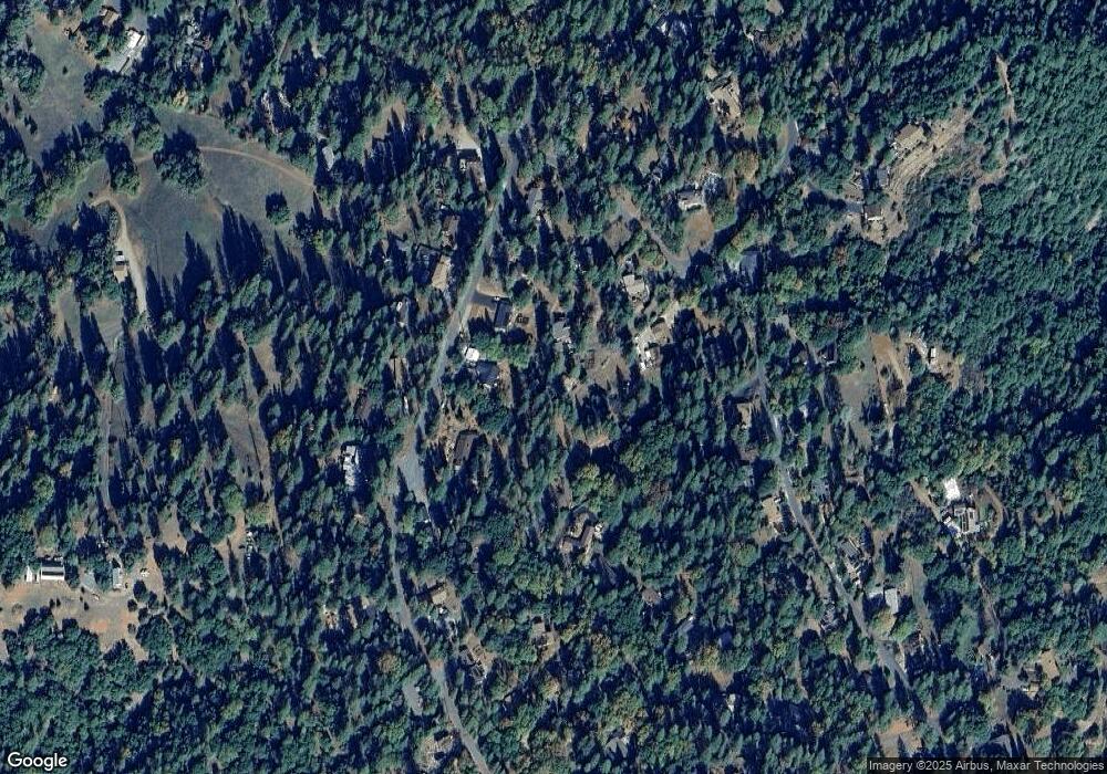
Map
- 11266 Clinton Bar Rd
- 11380 Clinton Bar Rd
- 11151 Quail Dr
- 11570 Quail Ct
- 21416 Robin Ln
- 11037 Clinton Bar Rd
- 10500 Tabeaud Rd
- 10440 Tabeaud Rd
- 12511 Tabeaud Rd
- 10550 Tabeaud Rd
- 20066 Dawn Ridge Dr
- 12850 Burnt Cedar Ln
- 21120 Vista Amorosa Ct
- 12880 Tabeau Ct
- 19783 Meadowood Dr
- 21324 Aqueduct Cir
- 21376 Aqueduct Cir
- 0 State Hwy 88 Unit 226076094
- 13050 Mount Zion Rd
- 19850 Clinton Rd
- 11347 Clinton Bar Rd
- 11298 Quail Dr
- 11326 Quail Dr
- 11343 Clinton Bar Rd
- 21247 Robin Ln
- 11358 Quail Dr
- 11351 Clinton Bar Rd
- 11381 Clinton Bar Rd
- 21305 Robin Ln
- 11315 Clinton Bar Rd
- 11337 Quail Dr
- 11305 Quail Dr
- 11295 Quail Dr
- 21284 Robin Ln
- 11232 Quail Dr
- 11382 Quail Dr
- 11285 Clinton Bar Rd
- 21319 Robin Ln
- 11271 Quail Dr
- 14499 Clinton Bar Rd
Ask me questions while you tour the home.