2129 Cameron Cir Birmingham, AL 35242
North Shelby County NeighborhoodEstimated Value: $715,000 - $725,000
--
Bed
3
Baths
3,673
Sq Ft
$195/Sq Ft
Est. Value
About This Home
This home is located at 2129 Cameron Cir, Birmingham, AL 35242 and is currently estimated at $717,510, approximately $195 per square foot. 2129 Cameron Cir is a home located in Shelby County with nearby schools including Greystone Elementary School, Berry Middle School, and Spain Park High School.
Ownership History
Date
Name
Owned For
Owner Type
Purchase Details
Closed on
Aug 3, 2017
Sold by
Harrison Julia N
Bought by
Fine Philip R and Fine Davadeen
Current Estimated Value
Home Financials for this Owner
Home Financials are based on the most recent Mortgage that was taken out on this home.
Original Mortgage
$406,200
Outstanding Balance
$338,208
Interest Rate
3.88%
Mortgage Type
New Conventional
Estimated Equity
$379,302
Purchase Details
Closed on
Dec 6, 2006
Sold by
Harrison Daniel L and Harrison Julia N
Bought by
Harrison Julia N
Create a Home Valuation Report for This Property
The Home Valuation Report is an in-depth analysis detailing your home's value as well as a comparison with similar homes in the area
Home Values in the Area
Average Home Value in this Area
Purchase History
| Date | Buyer | Sale Price | Title Company |
|---|---|---|---|
| Fine Philip R | $507,750 | None Available | |
| Harrison Julia N | -- | None Available |
Source: Public Records
Mortgage History
| Date | Status | Borrower | Loan Amount |
|---|---|---|---|
| Open | Fine Philip R | $406,200 |
Source: Public Records
Tax History Compared to Growth
Tax History
| Year | Tax Paid | Tax Assessment Tax Assessment Total Assessment is a certain percentage of the fair market value that is determined by local assessors to be the total taxable value of land and additions on the property. | Land | Improvement |
|---|---|---|---|---|
| 2024 | $4,619 | $69,460 | $0 | $0 |
| 2023 | $3,892 | $65,120 | $0 | $0 |
| 2022 | $3,494 | $58,480 | $0 | $0 |
| 2021 | $3,266 | $54,680 | $0 | $0 |
| 2020 | $3,152 | $52,780 | $0 | $0 |
| 2019 | $3,146 | $52,680 | $0 | $0 |
| 2017 | $0 | $52,180 | $0 | $0 |
| 2015 | $3,332 | $50,720 | $0 | $0 |
| 2014 | $3,128 | $47,660 | $0 | $0 |
Source: Public Records
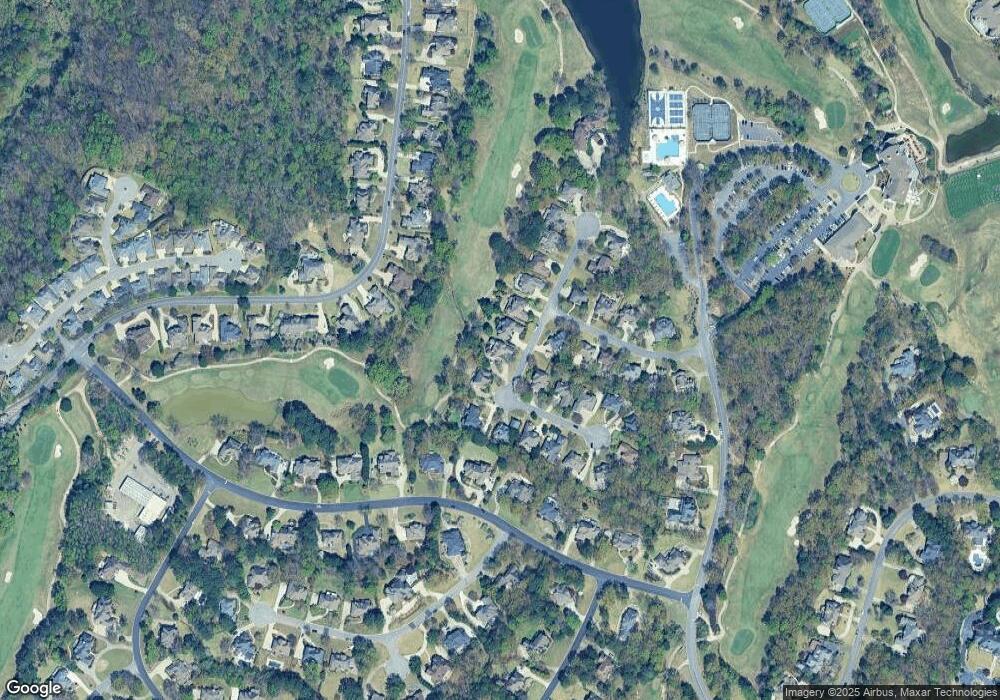
Map
Nearby Homes
- 2157 Cameron Cir
- 1033 Linkside Dr
- 5320 Greystone Way
- 3525 Shandwick Place
- 3536 Shandwick Place
- 5029 Greystone Way
- 3653 Shandwick Place
- 3549 Shandwick Place
- 5056 Greystone Way
- 1137 Berwick Rd
- 5615 Canongate Ln
- 5246 Greystone Way
- 4539 High Court Cir
- 987 Garland Cove
- 4035 Saint Charles Dr
- 1315 Berwick Dr
- 1257 Greystone Parc Dr
- 121 Palmer Cove
- 243 Courtside Dr Unit 45
- 208 Woodbridge Ln
- 2125 Cameron Cir
- 2133 Cameron Cir
- 2130 Cameron Cir
- 2121 Cameron Cir
- 1920 Saint Ives Dr
- 2137 Cameron Cir
- 2141 Cameron Cir
- 2138 Cameron Cir
- 2117 Cameron Cir
- 1916 Saint Ives Dr
- 2145 Cameron Cir
- 2113 Cameron Cir
- 2142 Cameron Cir
- 1913 St Ives Dr
- 1913 Saint Ives Dr
- 2149 Cameron Cir
- 2149 Cameron Cir
- 1912 Saint Ives Dr
- 2017 King Stables Rd
- 2021 King Stables Rd