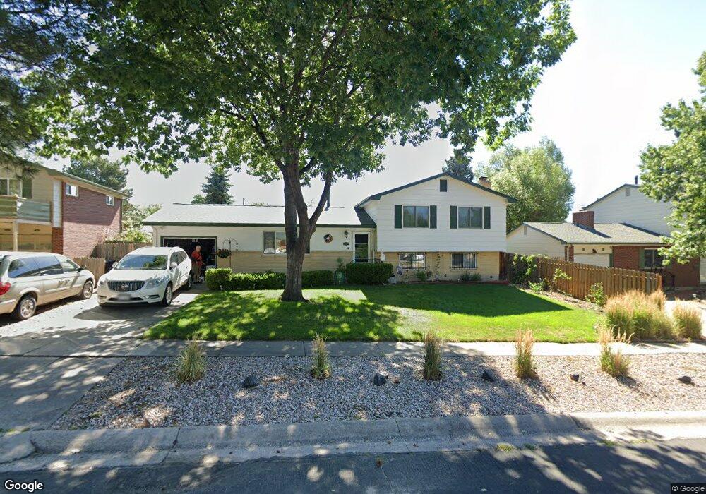
2129 Clarkson Dr Colorado Springs, CO 80909
Palmer Park NeighborhoodEstimated Value: $356,547 - $422,000
3
Beds
2
Baths
1,151
Sq Ft
$342/Sq Ft
Est. Value
About This Home
This home is located at 2129 Clarkson Dr, Colorado Springs, CO 80909 and is currently estimated at $393,887, approximately $342 per square foot. 2129 Clarkson Dr is a home located in El Paso County with nearby schools including Audubon Elementary School, Mann Middle School, and William J. Palmer High School.
Ownership History
Date
Name
Owned For
Owner Type
Purchase Details
Closed on
Mar 22, 1988
Bought by
Gribble William A and Gribble Holly D
Current Estimated Value
Purchase Details
Closed on
Aug 5, 1987
Bought by
Gribble William A and Gribble Holly D
Create a Home Valuation Report for This Property
The Home Valuation Report is an in-depth analysis detailing your home's value as well as a comparison with similar homes in the area
Home Values in the Area
Average Home Value in this Area
Purchase History
| Date | Buyer | Sale Price | Title Company |
|---|---|---|---|
| Gribble William A | -- | -- | |
| Gribble William A | -- | -- |
Source: Public Records
Tax History Compared to Growth
Tax History
| Year | Tax Paid | Tax Assessment Tax Assessment Total Assessment is a certain percentage of the fair market value that is determined by local assessors to be the total taxable value of land and additions on the property. | Land | Improvement |
|---|---|---|---|---|
| 2025 | $1,267 | $27,340 | -- | -- |
| 2024 | $1,267 | $27,200 | $4,290 | $22,910 |
| 2022 | $698 | $19,430 | $3,180 | $16,250 |
| 2021 | $1,179 | $19,980 | $3,270 | $16,710 |
| 2020 | $1,110 | $16,360 | $2,860 | $13,500 |
| 2019 | $1,104 | $16,360 | $2,860 | $13,500 |
| 2018 | $973 | $13,260 | $2,300 | $10,960 |
| 2017 | $922 | $13,260 | $2,300 | $10,960 |
| 2016 | $722 | $12,450 | $2,390 | $10,060 |
| 2015 | $719 | $12,450 | $2,390 | $10,060 |
| 2014 | $700 | $11,640 | $2,390 | $9,250 |
Source: Public Records
Map
Nearby Homes
- 2123 Glenn Summer Rd
- 2035 Downing Dr
- 1908 Winston Rd
- 1927 Downing Dr
- 2112 Alpine Dr
- 2226 Downing Dr
- 1868 Northview Dr
- 2205 Alpine Dr
- 2107 Trent Ave
- 2443 Clarkson Dr
- 1806 N Circle Dr
- 3118 E La Salle St
- 1909 Trent Ave
- 2014 Afton Way
- 2607 Centre Ln
- 1729 Happiness Dr
- 1701 Grant Ave
- 2513 Bennett Ave
- 1913 Collier Ave
- 2523 E La Salle St
- 2133 Clarkson Dr
- 2125 Clarkson Dr
- 2137 Clarkson Dr
- 2121 Clarkson Cir
- 2034 N Circle Dr
- 2123 Clarkson Dr
- 2102 N Circle Dr
- 2030 N Circle Dr
- 2106 N Circle Dr
- 2130 Clarkson Dr
- 2203 Clarkson Dr
- 2134 Clarkson Dr
- 2126 Clarkson Dr
- 2119 Clarkson Cir
- 2026 N Circle Dr
- 2110 N Circle Dr
- 2202 Clarkson Dr
- 2122 Clarkson Dr
- 2022 N Circle Dr
- 2207 Clarkson Dr