2129 Fisk Rd Howell, MI 48843
Estimated Value: $469,000 - $824,000
3
Beds
3
Baths
1,784
Sq Ft
$340/Sq Ft
Est. Value
About This Home
This home is located at 2129 Fisk Rd, Howell, MI 48843 and is currently estimated at $605,949, approximately $339 per square foot. 2129 Fisk Rd is a home located in Livingston County with nearby schools including Parker Middle School and Howell High School.
Ownership History
Date
Name
Owned For
Owner Type
Purchase Details
Closed on
Apr 19, 2012
Sold by
Sakmar Michael A and Sakmar Sarah J
Bought by
Sakmar Michael A
Current Estimated Value
Purchase Details
Closed on
Apr 3, 2012
Sold by
Sakmar Michael A and Sakmar Sarah J
Bought by
Sakmar Michael A
Create a Home Valuation Report for This Property
The Home Valuation Report is an in-depth analysis detailing your home's value as well as a comparison with similar homes in the area
Home Values in the Area
Average Home Value in this Area
Purchase History
| Date | Buyer | Sale Price | Title Company |
|---|---|---|---|
| Sakmar Michael A | -- | -- | |
| Sakmar Michael A | -- | -- |
Source: Public Records
Tax History Compared to Growth
Tax History
| Year | Tax Paid | Tax Assessment Tax Assessment Total Assessment is a certain percentage of the fair market value that is determined by local assessors to be the total taxable value of land and additions on the property. | Land | Improvement |
|---|---|---|---|---|
| 2025 | $2,814 | $280,000 | $0 | $0 |
| 2024 | $2,734 | $262,800 | $0 | $0 |
| 2023 | $2,612 | $232,200 | $0 | $0 |
| 2022 | $3,654 | $193,200 | $0 | $0 |
| 2021 | $3,561 | $202,400 | $0 | $0 |
| 2020 | $3,622 | $197,500 | $0 | $0 |
| 2019 | $3,566 | $193,200 | $0 | $0 |
| 2018 | $3,386 | $167,000 | $0 | $0 |
| 2017 | $3,332 | $167,000 | $0 | $0 |
| 2016 | $3,310 | $153,000 | $0 | $0 |
| 2014 | $3,126 | $140,300 | $0 | $0 |
| 2012 | $3,126 | $129,600 | $0 | $0 |
Source: Public Records
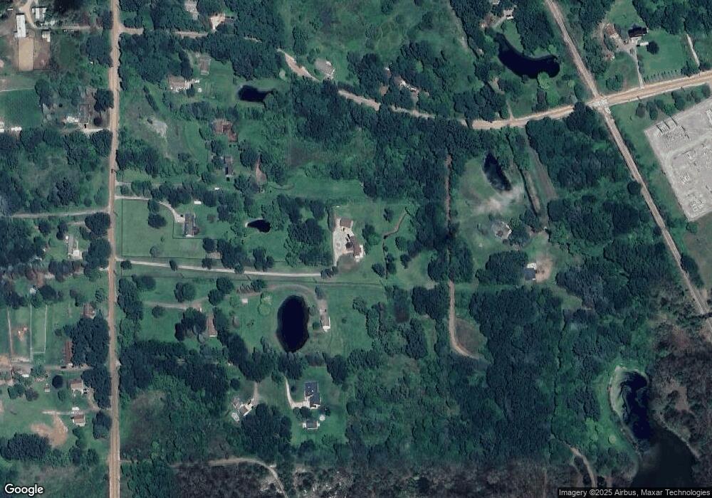
Map
Nearby Homes
- 8 Sleaford-Parcel 8 - 2 12 Acres Rd
- 4 Sleaford-Parcel 4 - 32 92 Acres Rd
- 6 Sleaford-Parcel 6 - 2 1 Acres Rd
- 3 Sleaford-Parcel 3-3 17 Acres Rd
- 4788 Parker Dr
- 5 Sleaford-Parcel 5 - 2 5 Acres Rd
- 1657 Frech Ln
- 7 Sleaford-Parcel 7 - 2 Acres Rd
- 2 Sleaford-Parcel 2-3 2 Acres Rd N
- 1731 Fisk Rd
- MOH 60 Birkdale Ln
- 595 Birkdale (Moh 44) Dr
- 677 Ln
- TBD Round Rock Dr (Moh 82)
- TBD Round Rock Dr (Moh 66) Dr
- TBD Round Rock (Moh81) Dr
- MOH 67 Round Rock
- 601 Birkdale Dr (Moh 45)
- 660 Dr
- 515 Round Rock Dr
- 2137 Fisk Rd
- 2075 Fisk Rd
- 2255 Beck Rd
- 2107 Fisk Rd
- 497 Crystal Wood Cir
- 350 Crystal Crossing Dr
- 340 Crystal Crossing Dr
- 307 Wood Crt
- 2698 Canfield Trail
- 0 Crystal Valley Unit 8090729
- 0 Homestead Dr Unit 1090220
- 0 Par C Kenneth Ct Unit 3090485
- 0 Par E Kenneth Ct Unit 3090482
- 0 Par B Kenneth Ct Unit 3090480
- 0 Jewell Rd Unit 7090422
- 0 Killin Rd Unit 30002493
- 0 Ira Ln Unit 30010496
- 0 Ira Ln Unit 30010495
- 0 Ira Ln Unit 30010494
- 0 Jewell Rd Unit 30038484