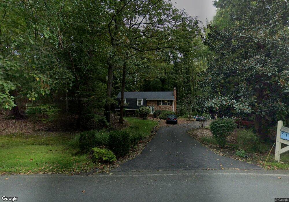
2129 Hallmark Dr Gambrills, MD 21054
Davidsonville NeighborhoodEstimated Value: $643,460 - $700,000
Studio
3
Baths
1,268
Sq Ft
$528/Sq Ft
Est. Value
About This Home
This home is located at 2129 Hallmark Dr, Gambrills, MD 21054 and is currently estimated at $669,115, approximately $527 per square foot. 2129 Hallmark Dr is a home located in Anne Arundel County with nearby schools including Crofton Woods Elementary School, Crofton Middle School, and Crofton High School.
Ownership History
Date
Name
Owned For
Owner Type
Purchase Details
Closed on
Oct 20, 2003
Sold by
Hoar Phillip D
Bought by
Lewis Joseph M and Lewis Dawn
Current Estimated Value
Purchase Details
Closed on
Sep 19, 1990
Sold by
Kavetsky Robert A
Bought by
Hoar Phillip D
Home Financials for this Owner
Home Financials are based on the most recent Mortgage that was taken out on this home.
Original Mortgage
$142,000
Interest Rate
10.13%
Create a Home Valuation Report for This Property
The Home Valuation Report is an in-depth analysis detailing your home's value as well as a comparison with similar homes in the area
Home Values in the Area
Average Home Value in this Area
Purchase History
| Date | Buyer | Sale Price | Title Company |
|---|---|---|---|
| Lewis Joseph M | $345,000 | -- | |
| Hoar Phillip D | $242,000 | -- |
Source: Public Records
Mortgage History
| Date | Status | Borrower | Loan Amount |
|---|---|---|---|
| Previous Owner | Hoar Phillip D | $142,000 | |
| Closed | Lewis Joseph M | -- |
Source: Public Records
Tax History
| Year | Tax Paid | Tax Assessment Tax Assessment Total Assessment is a certain percentage of the fair market value that is determined by local assessors to be the total taxable value of land and additions on the property. | Land | Improvement |
|---|---|---|---|---|
| 2025 | $4,919 | $498,367 | -- | -- |
| 2024 | $4,919 | $466,233 | $0 | $0 |
| 2023 | $4,765 | $434,100 | $267,900 | $166,200 |
| 2022 | $4,473 | $433,467 | $0 | $0 |
| 2020 | $4,300 | $432,200 | $267,900 | $164,300 |
| 2019 | $4,217 | $412,533 | $0 | $0 |
| 2018 | $3,984 | $392,867 | $0 | $0 |
| 2017 | $3,947 | $373,200 | $0 | $0 |
| 2016 | -- | $368,267 | $0 | $0 |
| 2015 | -- | $363,333 | $0 | $0 |
| 2014 | -- | $358,400 | $0 | $0 |
Source: Public Records
Map
Nearby Homes
- 2184 Branchwood Ct
- 2034 Huntwood Dr
- 2033 Rosetta Way
- 1746 Underwood Rd
- 2545 Lavall Ct
- 1860 Yeoman Ct
- 1697 Barrister Ct
- 1306 Persimmontree Ct
- 1457 Tana Ln
- 1118 Quince Apple Place
- 1500 Cheltenham Ct E
- 1822 Foxdale Ct
- 1762 Lang Dr
- 1928 Tilghman Dr
- 1753 Castleford Square
- 1873 Harcourt Ave
- 1681 Yorktown Ct
- 2004 Cambridge Dr
- 995 Saint George Barber Rd
- 1910 Seven Oaks Terrace
- 1505 Branchwood Dr
- 2133 Hallmark Dr
- 1504 Branchwood Dr
- 2126 Hallmark Dr
- 2134 Hallmark Dr
- 2137 Hallmark Dr
- 2122 Hallmark Dr
- 1501A Branchwood Dr
- 1501 Branchwood Dr
- 2141 Hallmark Dr
- 1500 Branchwood Dr
- 1500 Kingsway Dr
- 2121 Hallmark Dr
- 1494 Kingsway Ct
- 2161 Branchwood Ct
- 2118 Hallmark Dr
- 2130 Hallmark Dr
- 1504 Kingsway Dr
- 1490 Kingsway Ct
- 1496 Branchwood Dr
Your Personal Tour Guide
Ask me questions while you tour the home.