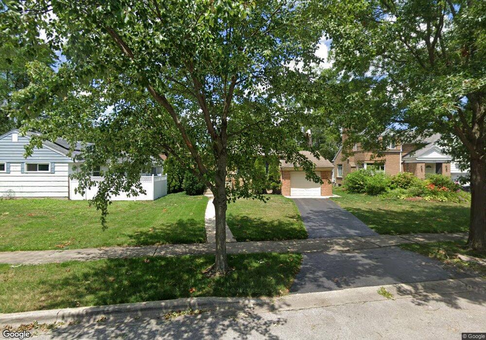
2129 Marston Ln Flossmoor, IL 60422
Estimated Value: $257,000 - $299,000
3
Beds
2
Baths
1,516
Sq Ft
$184/Sq Ft
Est. Value
About This Home
This home is located at 2129 Marston Ln, Flossmoor, IL 60422 and is currently estimated at $279,316, approximately $184 per square foot. 2129 Marston Ln is a home located in Cook County with nearby schools including Western Avenue Elementary School, Parker Junior High School, and Homewood-Flossmoor High School.
Ownership History
Date
Name
Owned For
Owner Type
Purchase Details
Closed on
Jun 19, 2024
Sold by
Levert Richard
Bought by
Rjl Revocable Living Trust and Levert
Current Estimated Value
Purchase Details
Closed on
Mar 28, 1995
Sold by
Jones Virginia W
Bought by
Levert Richard
Home Financials for this Owner
Home Financials are based on the most recent Mortgage that was taken out on this home.
Original Mortgage
$85,000
Interest Rate
8.79%
Create a Home Valuation Report for This Property
The Home Valuation Report is an in-depth analysis detailing your home's value as well as a comparison with similar homes in the area
Home Values in the Area
Average Home Value in this Area
Purchase History
| Date | Buyer | Sale Price | Title Company |
|---|---|---|---|
| Rjl Revocable Living Trust | -- | None Listed On Document | |
| Levert Richard | $110,000 | -- |
Source: Public Records
Mortgage History
| Date | Status | Borrower | Loan Amount |
|---|---|---|---|
| Previous Owner | Levert Richard | $85,000 |
Source: Public Records
Tax History Compared to Growth
Tax History
| Year | Tax Paid | Tax Assessment Tax Assessment Total Assessment is a certain percentage of the fair market value that is determined by local assessors to be the total taxable value of land and additions on the property. | Land | Improvement |
|---|---|---|---|---|
| 2024 | $7,397 | $24,000 | $3,675 | $20,325 |
| 2023 | -- | $24,000 | $3,675 | $20,325 |
| 2022 | $0 | $14,714 | $3,124 | $11,590 |
| 2021 | $4,381 | $14,713 | $3,123 | $11,590 |
| 2020 | $4,381 | $14,713 | $3,123 | $11,590 |
| 2019 | $4,288 | $14,156 | $2,756 | $11,400 |
| 2018 | $5,465 | $17,448 | $2,756 | $14,692 |
| 2017 | $3,150 | $17,448 | $2,756 | $14,692 |
| 2016 | $4,592 | $16,439 | $2,572 | $13,867 |
| 2015 | $6,332 | $16,439 | $2,572 | $13,867 |
| 2014 | $5,035 | $16,439 | $2,572 | $13,867 |
| 2013 | $4,712 | $14,422 | $2,572 | $11,850 |
Source: Public Records
Map
Nearby Homes
- 2039 Marston Ln
- 2045 Downey Rd
- 18646 Palmer Cir
- 18652 Martin Ave
- 830 Latimer Ln
- 18646 Martin Ave
- 18526 Dixie Hwy
- 18461 Morris Ave
- 1834 Terrace Rd
- 950 Gardner Rd
- 18462 Dixie Hwy
- 1832 187th St
- 1822 W 187th St
- 18524 Gottschalk Ave
- 1821 Terrace Rd
- 625 Perth Ave
- 18521 Homewood Ave
- 802 Argyle Ave
- 2007 Amherst Ct
- 1913 Birch Rd
- 2125 Marston Ln
- 2131 Marston Ln
- 2121 Marston Ln
- 2134 Collett Ln
- 2128 Collett Ln
- 2117 Marston Ln
- 2120 Collett Ln
- 2126 Marston Ln
- 2130 Marston Ln
- 2111 Marston Ln
- 2122 Marston Ln
- 805 Travers Ln
- 730 Travers Ln
- 734 Travers Ln
- 2148 Collett Ln
- 2116 Collett Ln
- 2147 Marston Ln
- 2107 Marston Ln
- 2116 Marston Ln
- 2116 Marston Ln