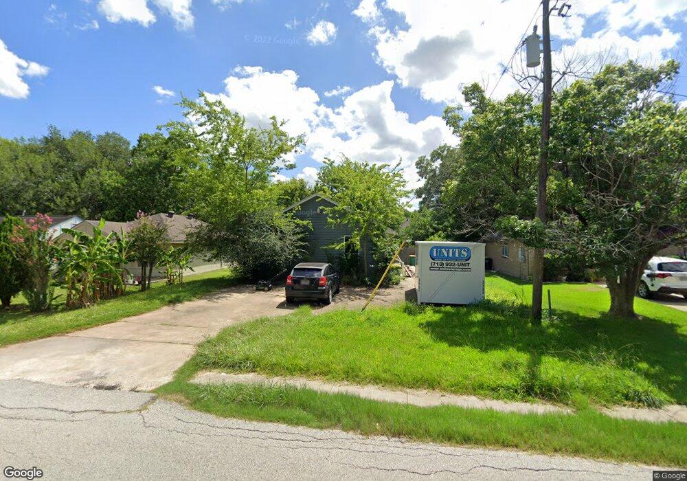
2129 Pearland Ave Pearland, TX 77581
Estimated Value: $174,000 - $188,000
2
Beds
2
Baths
950
Sq Ft
$190/Sq Ft
Est. Value
About This Home
This home is located at 2129 Pearland Ave, Pearland, TX 77581 and is currently estimated at $180,646, approximately $190 per square foot. 2129 Pearland Ave is a home located in Brazoria County with nearby schools including Barbara Cockrell Elementary School, Leon H. Sablatura Middle School, and Pearland Junior High School West.
Ownership History
Date
Name
Owned For
Owner Type
Purchase Details
Closed on
Apr 29, 2016
Sold by
Ramirez Cesar
Bought by
Lannin Dawn
Current Estimated Value
Purchase Details
Closed on
Mar 29, 2005
Sold by
Mcmahon Delores and Mcmahon Paul
Bought by
Hodges William Shannon and Hodges Delia
Home Financials for this Owner
Home Financials are based on the most recent Mortgage that was taken out on this home.
Original Mortgage
$55,000
Interest Rate
5.71%
Mortgage Type
Seller Take Back
Create a Home Valuation Report for This Property
The Home Valuation Report is an in-depth analysis detailing your home's value as well as a comparison with similar homes in the area
Home Values in the Area
Average Home Value in this Area
Purchase History
| Date | Buyer | Sale Price | Title Company |
|---|---|---|---|
| Lannin Dawn | -- | South Land Title Llc | |
| Hodges William Shannon | -- | Alamo Title Company |
Source: Public Records
Mortgage History
| Date | Status | Borrower | Loan Amount |
|---|---|---|---|
| Previous Owner | Hodges William Shannon | $55,000 | |
| Closed | Hodges William Shannon | $55,500 |
Source: Public Records
Tax History Compared to Growth
Tax History
| Year | Tax Paid | Tax Assessment Tax Assessment Total Assessment is a certain percentage of the fair market value that is determined by local assessors to be the total taxable value of land and additions on the property. | Land | Improvement |
|---|---|---|---|---|
| 2025 | $3,181 | $164,080 | $57,750 | $106,330 |
| 2023 | $3,181 | $144,160 | $37,800 | $106,360 |
| 2022 | $2,955 | $122,830 | $37,800 | $85,030 |
| 2021 | $2,548 | $98,900 | $32,760 | $66,140 |
| 2020 | $2,368 | $87,770 | $30,240 | $57,530 |
| 2019 | $2,022 | $74,930 | $30,240 | $44,690 |
| 2018 | $1,930 | $71,830 | $25,200 | $46,630 |
| 2017 | $1,940 | $71,830 | $25,200 | $46,630 |
| 2016 | $1,801 | $66,680 | $21,000 | $45,680 |
| 2015 | $1,701 | $61,930 | $21,000 | $40,930 |
| 2014 | $1,701 | $61,150 | $21,000 | $40,150 |
Source: Public Records
Map
Nearby Homes
- 2102 Pearland Ave
- 4610 & 4612 W Orange St
- 2245 N Austin Ave
- 2321 Pearland Ave
- 4804 W Plum St
- 2315 Cedar St
- 2317 Cedar St
- 2312 Willow Blvd
- 6420 Tindarey Creek Ln
- 17828 S Highway 35
- 2322 Francis Dr
- 2422-2436 S Main St
- 4901 Shank Rd
- 5208 Cunningham Dr
- 4615 W Walnut St
- 2012 N Galveston Ave
- 2304 Lynn Dr
- 2505 S Houston Ave
- 2511 S Houston Ave
- 2515 S Houston Ave
- 2129 N Pearland Ave
- 2125 Pearland Ave
- 2135 Pearland Ave
- 2123 Pearland Ave
- 2119 Pearland Ave
- 2132 Pearland Ave
- 2130 San Antonio St
- 2126 San Antonio St
- 2128 Pearland Ave
- 2136 Pearland Ave
- 4405 W Plum St
- 2138 San Antonio St
- 2122 San Antonio St
- 2124 Pearland Ave
- 2115 Pearland Ave
- 2120 Pearland Ave
- 2118 San Antonio St
- 2142 San Antonio St
- 2144 Pearland Ave
- 2111 Pearland Ave