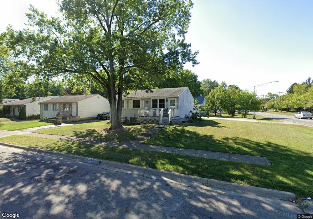
2129 Sprucefield Dr Columbus, OH 43229
Northern Woods NeighborhoodEstimated Value: $222,000 - $265,000
3
Beds
2
Baths
896
Sq Ft
$261/Sq Ft
Est. Value
About This Home
This home is located at 2129 Sprucefield Dr, Columbus, OH 43229 and is currently estimated at $233,825, approximately $260 per square foot. 2129 Sprucefield Dr is a home located in Franklin County with nearby schools including Northgate Intermediate, Alpine Elementary School, and Woodward Park Middle School.
Ownership History
Date
Name
Owned For
Owner Type
Purchase Details
Closed on
Apr 16, 2021
Sold by
Rourke Peter J O
Bought by
Lose Roger Craig and Lose Kayla
Current Estimated Value
Home Financials for this Owner
Home Financials are based on the most recent Mortgage that was taken out on this home.
Original Mortgage
$169,750
Interest Rate
2.96%
Mortgage Type
New Conventional
Purchase Details
Closed on
Aug 21, 2020
Sold by
Brooks Jacqueline M
Bought by
Orourke Peter J
Purchase Details
Closed on
Aug 10, 2020
Sold by
Estate Of Harry N Brooks Jr
Bought by
Brooks Jacqueline M
Purchase Details
Closed on
Aug 28, 1987
Bought by
Brooks Harry N
Purchase Details
Closed on
May 1, 1979
Create a Home Valuation Report for This Property
The Home Valuation Report is an in-depth analysis detailing your home's value as well as a comparison with similar homes in the area
Home Values in the Area
Average Home Value in this Area
Purchase History
| Date | Buyer | Sale Price | Title Company |
|---|---|---|---|
| Lose Roger Craig | $175,000 | Contract Processing & Title Ag | |
| Orourke Peter J | $36,666 | New Title Company Name | |
| Brooks Jacqueline M | -- | None Available | |
| Brooks Harry N | $57,900 | -- | |
| -- | $39,200 | -- |
Source: Public Records
Mortgage History
| Date | Status | Borrower | Loan Amount |
|---|---|---|---|
| Previous Owner | Lose Roger Craig | $169,750 |
Source: Public Records
Tax History Compared to Growth
Tax History
| Year | Tax Paid | Tax Assessment Tax Assessment Total Assessment is a certain percentage of the fair market value that is determined by local assessors to be the total taxable value of land and additions on the property. | Land | Improvement |
|---|---|---|---|---|
| 2024 | $2,817 | $62,760 | $15,020 | $47,740 |
| 2023 | $2,781 | $62,755 | $15,015 | $47,740 |
| 2022 | $1,926 | $37,140 | $8,540 | $28,600 |
| 2021 | $1,977 | $37,140 | $8,540 | $28,600 |
| 2020 | $1,470 | $37,000 | $8,540 | $28,460 |
| 2019 | $1,323 | $30,560 | $7,110 | $23,450 |
| 2018 | $1,142 | $30,560 | $7,110 | $23,450 |
| 2017 | $1,192 | $30,560 | $7,110 | $23,450 |
| 2016 | $1,062 | $24,780 | $5,320 | $19,460 |
| 2015 | $964 | $24,780 | $5,320 | $19,460 |
| 2014 | $966 | $24,780 | $5,320 | $19,460 |
| 2013 | $607 | $29,155 | $6,265 | $22,890 |
Source: Public Records
Map
Nearby Homes
- 2250 Webster Canyon Ct
- 6048 Pinemoor St
- 2197 Bayfield Dr
- 2292 Laurelwood Dr Unit 2292L
- 6245 Sharon Woods Blvd
- 6355 Johnanne St
- 5732 Beechcroft Rd Unit B
- 5726 Beechcroft Rd Unit J
- 6448 Sharon Woods Blvd Unit B
- 2120 Willowick Dr Unit B
- 6496 Hearthstone Ave
- 6407 Skywae Dr
- 2084 Brookfield Rd
- 2677-2679 Blossom Ave
- 5556 Parkshire Dr Unit 5556
- 6342 Bellmeadow Dr
- 1947 Rockdale Dr Unit 33
- 1752 Pine Tree St S Unit H
- 1743 Pine Tree St N Unit A
- 2727 Patrick Ave
- 2137 Sprucefield Dr
- 2092 Sprucefield Dr
- 2120 Sprucefield Dr
- 2085 Sprucefield Dr
- 2143 Sprucefield Dr
- 2128 Hampstead Dr
- 2136 Hampstead Dr
- 2119 Sprucefield Rd
- 2121 Sprucefield Dr
- 2149 Sprucefield Dr
- 2144 Hampstead Dr
- 2121 Sprucefield Rd
- 2130 Sprucefield Dr
- 2138 Sprucefield Dr
- 2150 Hampstead Dr
- 2144 Sprucefield Dr
- 2155 Sprucefield Dr
- 2109 Sprucefield Rd
- 2113 Sprucefield Rd
- 2150 Sprucefield Dr