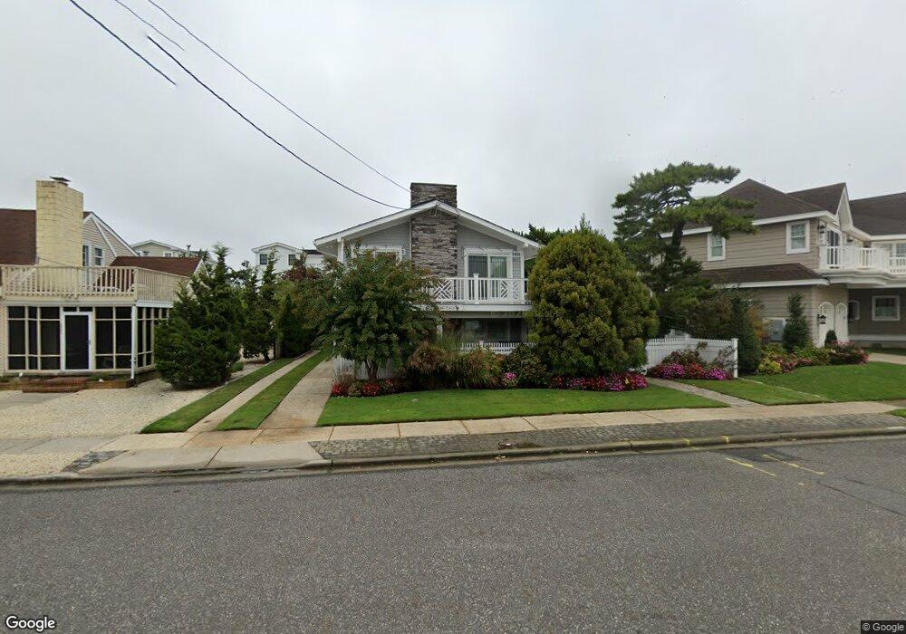
213 77th St Avalon, NJ 08202
Estimated Value: $2,780,945 - $3,886,000
Studio
--
Bath
2,112
Sq Ft
$1,614/Sq Ft
Est. Value
About This Home
This home is located at 213 77th St, Avalon, NJ 08202 and is currently estimated at $3,409,236, approximately $1,614 per square foot. 213 77th St is a home located in Cape May County with nearby schools including Avalon Elementary School.
Ownership History
Date
Name
Owned For
Owner Type
Purchase Details
Closed on
Sep 29, 2017
Sold by
Owen Ryan M and Owen Amanda L
Bought by
Owen Amanda L
Current Estimated Value
Purchase Details
Closed on
Apr 18, 2012
Sold by
Low Raymond S and Low Elaine W
Bought by
Owen Ryan M and Owen Amanda
Home Financials for this Owner
Home Financials are based on the most recent Mortgage that was taken out on this home.
Original Mortgage
$600,000
Outstanding Balance
$398,661
Interest Rate
3.12%
Mortgage Type
New Conventional
Estimated Equity
$3,010,575
Purchase Details
Closed on
Dec 6, 2004
Sold by
Low Elaine W
Bought by
Low Raymond S and Low Elaine W
Purchase Details
Closed on
Oct 8, 1991
Sold by
Low Raymond S and Low Elaine W
Bought by
Low Elaine W
Create a Home Valuation Report for This Property
The Home Valuation Report is an in-depth analysis detailing your home's value as well as a comparison with similar homes in the area
Home Values in the Area
Average Home Value in this Area
Purchase History
| Date | Buyer | Sale Price | Title Company |
|---|---|---|---|
| Owen Amanda L | -- | None Available | |
| Owen Ryan M | $975,000 | None Available | |
| Low Raymond S | -- | -- | |
| Low Elaine W | -- | -- |
Source: Public Records
Mortgage History
| Date | Status | Borrower | Loan Amount |
|---|---|---|---|
| Open | Owen Ryan M | $600,000 |
Source: Public Records
Tax History
| Year | Tax Paid | Tax Assessment Tax Assessment Total Assessment is a certain percentage of the fair market value that is determined by local assessors to be the total taxable value of land and additions on the property. | Land | Improvement |
|---|---|---|---|---|
| 2025 | $9,262 | $1,508,400 | $1,400,000 | $108,400 |
| 2024 | $9,262 | $1,508,400 | $1,400,000 | $108,400 |
| 2023 | $9,186 | $1,508,400 | $1,400,000 | $108,400 |
| 2022 | $8,251 | $1,508,400 | $1,400,000 | $108,400 |
| 2021 | $8,251 | $1,508,400 | $1,400,000 | $108,400 |
| 2020 | $7,934 | $1,508,400 | $1,400,000 | $108,400 |
| 2019 | $7,693 | $1,508,400 | $1,400,000 | $108,400 |
| 2018 | $7,361 | $1,508,400 | $1,400,000 | $108,400 |
| 2017 | $6,296 | $1,132,300 | $1,000,000 | $132,300 |
| 2016 | $6,228 | $1,132,300 | $1,000,000 | $132,300 |
| 2015 | $6,126 | $1,132,300 | $1,000,000 | $132,300 |
| 2014 | $6,058 | $1,132,300 | $1,000,000 | $132,300 |
Source: Public Records
Map
Nearby Homes
- 7800 Dune Dr Unit C205
- 7888 Dune Dr Unit 218
- 7463 Ocean Dr
- 280 79th St Unit 1
- 7900 Dune Dr Unit C315
- 315 79th St Unit 315
- 7929 Dune Dr Unit 212
- 301 80th St Unit B24
- 248 81st St Unit A
- 8201 3rd Ave Unit 24
- 328 83rd St
- 177 71st St
- 146 83rd St Unit 1
- 392 83rd St
- 8310 Sunset Dr
- 8314 Sunset Dr
- 247 85th St
- 225 85th St
- 288 86th St
- 6772 Ocean Dr Unit 6772
Your Personal Tour Guide
Ask me questions while you tour the home.