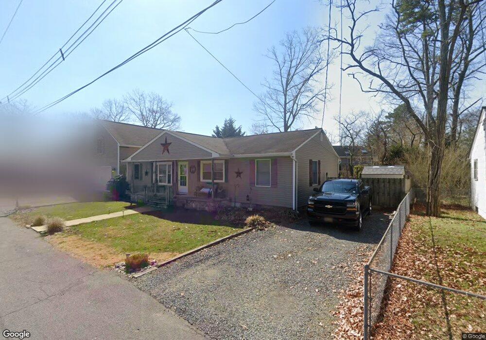
213 Algonquin Trail Forked River, NJ 08731
Estimated Value: $368,000 - $441,000
3
Beds
2
Baths
2,436
Sq Ft
$166/Sq Ft
Est. Value
About This Home
This home is located at 213 Algonquin Trail, Forked River, NJ 08731 and is currently estimated at $405,481, approximately $166 per square foot. 213 Algonquin Trail is a home located in Ocean County with nearby schools including Lacey Township High School.
Ownership History
Date
Name
Owned For
Owner Type
Purchase Details
Closed on
Jun 11, 2001
Current Estimated Value
Purchase Details
Closed on
Apr 14, 1995
Sold by
Fuller Doris
Bought by
Kuzan Laurie and Toth Paul
Home Financials for this Owner
Home Financials are based on the most recent Mortgage that was taken out on this home.
Original Mortgage
$70,000
Interest Rate
8.34%
Create a Home Valuation Report for This Property
The Home Valuation Report is an in-depth analysis detailing your home's value as well as a comparison with similar homes in the area
Home Values in the Area
Average Home Value in this Area
Purchase History
| Date | Buyer | Sale Price | Title Company |
|---|---|---|---|
| -- | -- | -- | |
| Kuzan Laurie | $79,000 | -- |
Source: Public Records
Mortgage History
| Date | Status | Borrower | Loan Amount |
|---|---|---|---|
| Previous Owner | Kuzan Laurie | $70,000 |
Source: Public Records
Tax History
| Year | Tax Paid | Tax Assessment Tax Assessment Total Assessment is a certain percentage of the fair market value that is determined by local assessors to be the total taxable value of land and additions on the property. | Land | Improvement |
|---|---|---|---|---|
| 2025 | $5,957 | $235,100 | $76,000 | $159,100 |
| 2024 | $5,570 | $235,100 | $76,000 | $159,100 |
Source: Public Records
Map
Nearby Homes
- 00 Lacey Rd
- 0 Lakeside Dr S Unit 22601319
- 105 Shodda St
- 1223 Sylvania Place
- 1326 Leguene Ave
- 502 Cyprus Ct
- 703 Cyprus Ct
- 406 Cyprus Ct
- Juniper Plan at Lacey Pines
- 116 Bay Ave
- 102 Maria Loretta Ln
- 1440 Leguene Ave
- 509 Tappan St
- 0000 Earie Way
- 115 E Lacey Rd
- 000 Elwood St
- 1303 Cypress St
- 22 Saltspray Dr
- 126 Bay Ave
- 117 E Lacey Rd
- 205 Algonquin Trail
- 214 Algonquin Trail
- 204 Lakeview Ct
- 216 Algonquin Trail
- 217 Algonquin Trail
- 205 Lakeview Ct
- 229 Cherokee Trail
- 203 Lakeview Ct
- 230 Cherokee Trail
- 233 Cherokee Trail
- 213 Station Dr
- 207 Station Dr
- 206 Algonquin Trail
- 218 Algonquin Trail
- 209 Station Dr
- 215 Station Dr
- 202 Lakeview Ct
- 217 Station Dr
- 203 Station Dr
- 206 Lakeview Ct
Your Personal Tour Guide
Ask me questions while you tour the home.