213 Andrews Shore Rd Bridgeport, NY 13030
Estimated Value: $292,000 - $496,000
3
Beds
2
Baths
1,306
Sq Ft
$293/Sq Ft
Est. Value
About This Home
This home is located at 213 Andrews Shore Rd, Bridgeport, NY 13030 and is currently estimated at $382,230, approximately $292 per square foot. 213 Andrews Shore Rd is a home located in Madison County with nearby schools including Chittenango High School.
Ownership History
Date
Name
Owned For
Owner Type
Purchase Details
Closed on
Jul 24, 2024
Sold by
Rudy Anthony
Bought by
Magnarelli David
Current Estimated Value
Home Financials for this Owner
Home Financials are based on the most recent Mortgage that was taken out on this home.
Original Mortgage
$350,909
Outstanding Balance
$346,620
Interest Rate
6.87%
Mortgage Type
New Conventional
Estimated Equity
$35,610
Purchase Details
Closed on
Apr 1, 2006
Home Financials for this Owner
Home Financials are based on the most recent Mortgage that was taken out on this home.
Original Mortgage
$52,000
Interest Rate
6.4%
Mortgage Type
Purchase Money Mortgage
Purchase Details
Closed on
Apr 20, 1999
Create a Home Valuation Report for This Property
The Home Valuation Report is an in-depth analysis detailing your home's value as well as a comparison with similar homes in the area
Home Values in the Area
Average Home Value in this Area
Purchase History
| Date | Buyer | Sale Price | Title Company |
|---|---|---|---|
| Magnarelli David | $390,000 | None Listed On Document | |
| -- | -- | -- | |
| -- | -- | -- | |
| -- | -- | -- |
Source: Public Records
Mortgage History
| Date | Status | Borrower | Loan Amount |
|---|---|---|---|
| Open | Magnarelli David | $350,909 | |
| Previous Owner | -- | $52,000 |
Source: Public Records
Tax History Compared to Growth
Tax History
| Year | Tax Paid | Tax Assessment Tax Assessment Total Assessment is a certain percentage of the fair market value that is determined by local assessors to be the total taxable value of land and additions on the property. | Land | Improvement |
|---|---|---|---|---|
| 2024 | $6,331 | $141,600 | $84,000 | $57,600 |
| 2023 | $6,280 | $141,600 | $84,000 | $57,600 |
| 2022 | $6,067 | $141,600 | $84,000 | $57,600 |
| 2021 | $6,031 | $141,600 | $84,000 | $57,600 |
| 2020 | $5,271 | $141,600 | $84,000 | $57,600 |
| 2019 | $5,032 | $141,600 | $84,000 | $57,600 |
| 2018 | $5,032 | $141,600 | $84,000 | $57,600 |
| 2017 | $5,027 | $141,600 | $84,000 | $57,600 |
| 2016 | $4,994 | $141,600 | $84,000 | $57,600 |
| 2015 | -- | $141,600 | $84,000 | $57,600 |
| 2014 | -- | $141,600 | $84,000 | $57,600 |
Source: Public Records
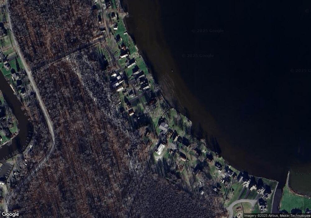
Map
Nearby Homes
- 303 Barrett Ln
- 2 Hitchcock Point Rd
- 8408 Tuttle Rd
- 317 Barrett Ln
- 03 Hitchcock Point Rd
- 05 Hitchcock Point Rd
- 01 Hitchcock Point Rd
- 7649 Tuttle Rd
- 349 Barrett Ln
- 0 Lot#4 Hitchcock Point Rd
- 8196 Kneeskern Rd
- 9390 Fox Rd
- 7467 W Murray Dr
- 7843 Oneida Trail
- 8087,8091,8095 Creekview Dr
- 9407 Lakeshore View Dr
- 9395 Lakeshore View Dr
- 9393 Lakeshore View Dr
- 7438 Lakeshore Rd
- Lot 187 Marina Dr
- 213 Andrews Shore Rd
- 211 Andrews Shore Rd
- 209 Andrews Shore Rd
- 219 Willey Rd
- 205 Andrews Shore Rd
- 217 Willey Rd
- 203 Andrews Shore Rd
- 208 Andrews Shore Rd
- 221 Esther Ave
- 212 Andrews Shore Rd
- 223 Esther Ave
- 201 Andrews Shore Rd
- 225 Esther Ave
- 199 Andrews Shore Rd
- 227 Esther Ave
- 197 Andrews Shore Rd
- 229 Esther Ave
- 193 Andrews Shore Rd
- 191 Andrews Shore Rd
- 233 Esther Ave