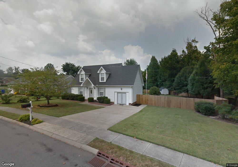
213 Apache Trail White House, TN 37188
Estimated Value: $298,287 - $372,000
About This Home
This home is located at 213 Apache Trail, White House, TN 37188 and is currently estimated at $341,572, approximately $227 per square foot. 213 Apache Trail is a home located in Robertson County with nearby schools including Robert F. Woodall Elementary School, White House Heritage Elementary School, and White House Heritage High School.
Ownership History
Purchase Details
Home Financials for this Owner
Home Financials are based on the most recent Mortgage that was taken out on this home.Purchase Details
Home Values in the Area
Average Home Value in this Area
Purchase History
We collect this data history from publicly available records. To have your information removed, we recommend requesting removal directly through your county’s website.
| Date | Buyer | Sale Price | Title Company |
|---|---|---|---|
| Brooks Carolyn Y | $124,900 | -- | |
| Elm Hill Homes Inc | -- | -- |
Mortgage History
We collect this data history from publicly available records. To have your information removed, we recommend requesting removal directly through your county’s website.
| Date | Status | Borrower | Loan Amount |
|---|---|---|---|
| Open | Elm Hill Homes Inc | $123,800 |
Tax History
| Year | Tax Paid | Tax Assessment Tax Assessment Total Assessment is a certain percentage of the fair market value that is determined by local assessors to be the total taxable value of land and additions on the property. | Land | Improvement |
|---|---|---|---|---|
| 2025 | -- | $70,225 | $23,750 | $46,475 |
| 2024 | -- | $70,225 | $23,750 | $46,475 |
| 2023 | $1,842 | $70,225 | $23,750 | $46,475 |
| 2022 | $1,537 | $39,800 | $8,625 | $31,175 |
| 2021 | $1,537 | $39,800 | $8,625 | $31,175 |
| 2020 | $1,437 | $39,800 | $8,625 | $31,175 |
| 2019 | $1,437 | $39,800 | $8,625 | $31,175 |
| 2018 | $1,436 | $39,800 | $8,625 | $31,175 |
| 2017 | $1,451 | $33,625 | $7,200 | $26,425 |
| 2016 | $1,451 | $33,625 | $7,200 | $26,425 |
| 2015 | $1,409 | $33,625 | $7,200 | $26,425 |
| 2014 | $1,409 | $33,625 | $7,200 | $26,425 |
Map
- 110 Arapaho Ct
- 100 Abbey Ln
- 208 Kennedy Dr
- 304 Indian Ridge Cir
- 211 Hamlett Dr
- 909 Wilkinson Ln
- 6017 Indian Ridge Blvd
- 797 Big Bend Ct
- 616 Streamview Dr
- 7085 Scotlyn Way
- 0 Highway 31 W
- 525 Streamview Dr
- 3336 31w Hwy S
- 653 Big Bend Ct Unit 101
- 625 Big Bend Ct Unit 101
- 621 Big Bend Ct Unit 101
- 625 Big Bend Ct
- 676 Big Bend Ct Unit 101
- 625 Big Bend Ct Unit 201
- 632 Big Bend Ct Unit 201
- 212 Apache Trail
- 105 Aztec Ct
- 214 Apache Trail
- 206 Apache Trail
- 103 Aztec Ct
- 104 Aztec Ct
- 209 Apache Trail
- 216 Apache Trail
- 204 Apache Trail
- 203 S Aztec Dr
- 207 Apache Trail
- 102 Aztec Ct
- 218 Apache Trail
- 202 Apache Trail
- 205 Apache Trail
- 111 Choctaw Cir
- 205 S Aztec Dr
- 109 Choctaw Cir
- 215 Apache Trail
- 200 Apache Trail
Ask me questions while you tour the home.