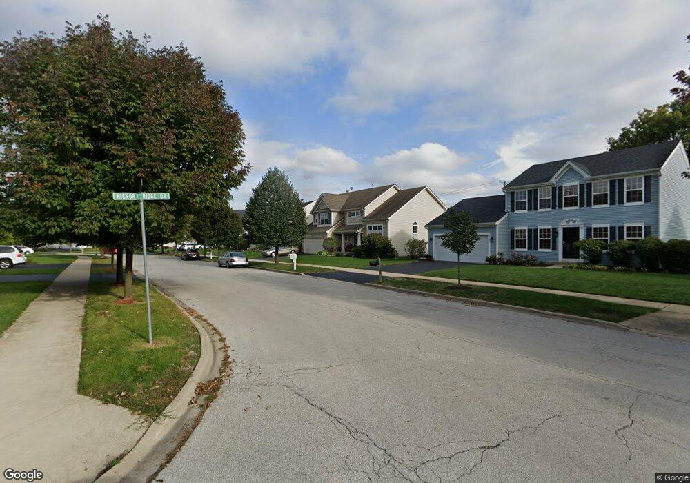
213 Arbor Ridge Dr Montgomery, IL 60538
Estimated Value: $393,108 - $422,000
4
Beds
4
Baths
2,401
Sq Ft
$172/Sq Ft
Est. Value
About This Home
This home is located at 213 Arbor Ridge Dr, Montgomery, IL 60538 and is currently estimated at $411,777, approximately $171 per square foot. 213 Arbor Ridge Dr is a home located in Kane County with nearby schools including Nicholson Elementary School, Washington Middle School, and West Aurora High School.
Ownership History
Date
Name
Owned For
Owner Type
Purchase Details
Closed on
Oct 3, 2005
Sold by
Wyndham Deerpoint Homes
Bought by
Little Mary
Current Estimated Value
Home Financials for this Owner
Home Financials are based on the most recent Mortgage that was taken out on this home.
Original Mortgage
$232,599
Outstanding Balance
$130,548
Interest Rate
6.54%
Mortgage Type
Unknown
Estimated Equity
$281,229
Create a Home Valuation Report for This Property
The Home Valuation Report is an in-depth analysis detailing your home's value as well as a comparison with similar homes in the area
Home Values in the Area
Average Home Value in this Area
Purchase History
| Date | Buyer | Sale Price | Title Company |
|---|---|---|---|
| Little Mary | $291,000 | Chicago Title Insurance Comp |
Source: Public Records
Mortgage History
| Date | Status | Borrower | Loan Amount |
|---|---|---|---|
| Open | Little Mary | $232,599 |
Source: Public Records
Tax History Compared to Growth
Tax History
| Year | Tax Paid | Tax Assessment Tax Assessment Total Assessment is a certain percentage of the fair market value that is determined by local assessors to be the total taxable value of land and additions on the property. | Land | Improvement |
|---|---|---|---|---|
| 2024 | $7,851 | $113,820 | $21,211 | $92,609 |
| 2023 | $7,521 | $101,698 | $18,952 | $82,746 |
| 2022 | $7,216 | $92,790 | $17,292 | $75,498 |
| 2021 | $6,895 | $86,389 | $16,099 | $70,290 |
| 2020 | $6,972 | $85,420 | $14,954 | $70,466 |
| 2019 | $7,239 | $84,409 | $13,855 | $70,554 |
| 2018 | $7,150 | $81,359 | $12,816 | $68,543 |
| 2017 | $7,058 | $78,119 | $11,809 | $66,310 |
| 2016 | $6,622 | $71,326 | $10,123 | $61,203 |
| 2015 | -- | $63,681 | $8,705 | $54,976 |
| 2014 | -- | $63,449 | $8,372 | $55,077 |
| 2013 | -- | $64,718 | $8,253 | $56,465 |
Source: Public Records
Map
Nearby Homes
- 1422 Manning Ave
- 1440 Manning Ave
- 1375 Manning Ave
- 1405 Manning Ave
- 1342 Oak Ridge Ln
- 170 Montgomery Rd
- 1707 Deer Run Dr
- 1336 Douglas Ave Unit 13
- 106 Hamlet Cir
- 1924 Lakeside Dr
- 36 Fallcreek Cir Unit 35
- Lot 1 Douglas Ave
- 0 N River St
- 101 Red Fox Run
- 75 Briarcliff Rd
- 124 Heathgate Rd
- 114 Heathgate Rd
- 136 Heathgate Rd
- 106 Braeburn Rd
- 1022 Sard Ave
- 209 Arbor Ridge Dr
- 205 Arbor Ridge Dr
- 221 Arbor Ridge Dr
- 218 Arbor Ridge Dr
- 212 Arbor Ridge Dr
- 226 Arbor Ridge Dr
- 201 Arbor Ridge Dr
- 225 Arbor Ridge Dr
- 1356 Hickory Ridge Dr
- 1357 Walnut Ridge Dr
- 229 Arbor Ridge Dr
- 1328 Manning Ave
- 1330 Manning Ave
- 1326 Manning Ave
- 1332 Manning Ave
- 1324 Manning Ave
- 1334 Manning Ave
- 1322 Manning Ave
- 1336 Manning Ave
- 1320 Manning Ave